A Complete Guide to Self-Driving the Nujiang Grand Canyon: Encounter Snow-Capped Mountains, Pastures, and Peach Blossom Villages Along the "Beautiful Highway"
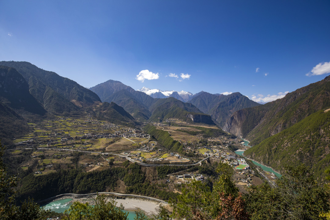
A Complete Guide to Self-Driving the Nujiang Grand Canyon: Encounter Snow-Capped Mountains, Pastures, and Peach Blossom Villages Along the "Beautiful Highway"
Why the Nujiang Grand Canyon?
If you've grown tired of those over-hyped "Instagram-worthy" travel destinations, if you're craving a road trip that truly makes your heart race and your soul tremble—then look no further than the Nujiang Grand Canyon.
This great river, originating on the southern slopes of the Tanggula Mountains on the Tibetan Plateau, flows through Tibet and Yunnan before eventually emptying into the Indian Ocean in Myanmar. Within Yunnan's Nujiang Prefecture, it has carved out one of the most spectacular and pristine gorges on Earth. This is the core area of the "Three Parallel Rivers" UNESCO World Heritage site—where the Nujiang, Lancang (Mekong), and Jinsha (Yangtze) rivers run side by side southward. Under the immense force of the Himalayan orogeny, mountains rose and rivers cut deep, creating the breathtaking spectacle of three rivers flowing parallel between three mountain ranges.
The Nujiang Grand Canyon, sandwiched between the Gaoligong Mountains and the Biluo Snow Mountains, is the most primitive and untamed of these three gorges. The reason is simple: the Nujiang remains the only major river in China that has not undergone large-scale hydropower development. This means that every wave you see, every whirlpool you observe, has been preserved in its most authentic state for millions of years.
The canyon is green year-round, while the snow-capped peaks remain perpetually white. In spring, peach blossoms dot the villages; during the rainy season, clouds and mist wrap around the mountainsides. Particularly around Bingzhongluo in the middle section of the gorge, two snow-capped mountains towering four to five thousand meters high flank the surging Nujiang River. The vertical drop from the mountain peaks to the river surface exceeds 3,500 meters—a visual impact that renders any description inadequate.
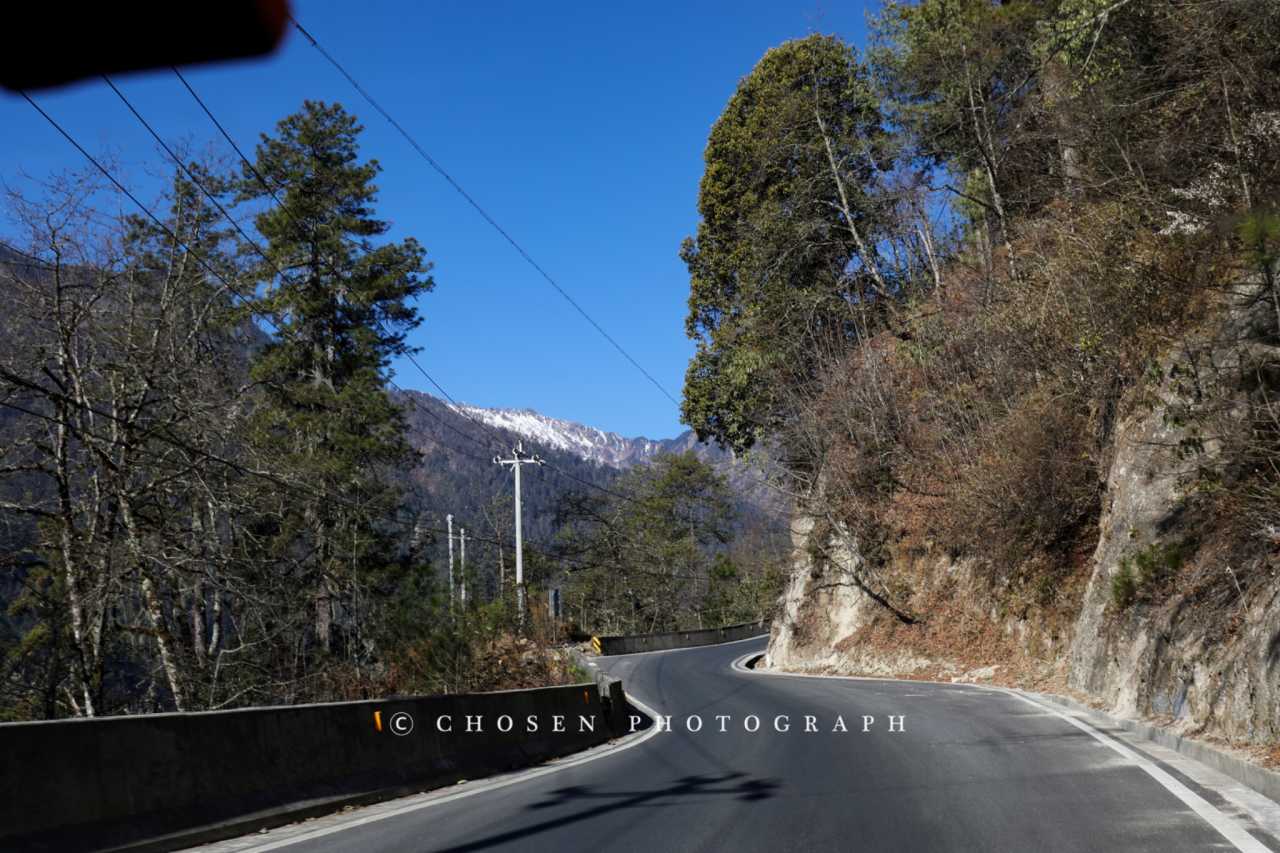
What's more, recent infrastructure upgrades have made this hidden paradise far more accessible. The smooth "Nujiang Beautiful Highway" runs through the entire region, connecting all the scenic spots and villages. Towns like Laomudeng and Bingzhongluo have well-developed tourist facilities, and almost every scenic viewpoint has a designated viewing platform. And backpackers who love exploration won't be disappointed—centered around Bingzhongluo, Dimalu, and Kongdang, the depths of the Gaoligong Mountains, Biluo Snow Mountains, and the Dulong River region still hide countless undeveloped secret landscapes.
Most heartening of all: the Nu, Lisu, Dulong, and Tibetan peoples who have lived here for generations still maintain their warmth and hospitality. Right now, the Nujiang region is at that perfect balance between "comfortable accessibility" and "exploratory discovery"—set out before it becomes overly developed.
Pre-Trip Essentials: Routes and Timing
Recommended Route
The Nujiang Prefecture still has no railway or airport access—transportation is its biggest drawback. While the Bingchacha Route and the Degong Highway can lead to Tibet or Deqin, those are among the most dangerous mountain roads. Most travelers still have to return the same way they came.
If you're like me and only planning to visit the Nujiang region, I recommend setting aside at least 7 days. Self-driving is strongly advised—if you're not behind the wheel, this route loses much of its appeal.
Itinerary Overview
Day 1: Fly into Dali or Baoshan, then drive to Lushui City (about 2-3 hours on the expressway). If you have time, visit the Librairie Avant-Garde bookstore in Yangpo Village or explore the old town area around Xiangyang Bridge.
Day 2: After breakfast, begin your self-drive on the Nujiang Beautiful Highway. It's about 110 kilometers from Lushui to Laomudeng, a 2-hour drive. Along the way, you can soak your feet at the Denggeng Bathhouse hot springs and stop at various viewpoints at your leisure. Have lunch at the Nu Family Beef Restaurant in Laomudeng, then spend the afternoon exploring Zhiziluo. If you have time, drive all the way up to the tea factory for a cup of tea.

Day 3: Wake up early to watch the sunrise over Crown Peak, then hike the Laomudeng Sacred Mountain Trail. After lunch, drive along the G219 Beautiful Highway to Gongshan County (about 3.5 hours), passing viewpoints like the Stone Moon along the way.
Day 4: Dulong River day trip. Enter the Dulong River area via the Gongdu Highway and visit Pukawang Village. Try to reach Bingzhongluo for accommodation that evening.
Day 5-6: Hiking around Bingzhongluo. The Zhana Tong back-mountain viewpoint, the ancient Tea Horse Road to Wuli Village, Qiutong Village, and Zhongding Village are all worth exploring.
Day 7: Return journey. You can go via Dimalu to Alulaka for a hike through the alpine pastures, or drive back along the G219 National Highway to Lushui.
The Beautiful Highway: A Pristine Canyon Scenic Drive
Starting from Dali, take the Hangrui Expressway to Lushui—about 245 kilometers and 3 hours. This section of expressway is older, with two lanes, numerous curves, and long downhill stretches—a bit of a challenge for first-time drivers in Yunnan. Once you switch to the Baolu Expressway, road conditions improve dramatically—all tunnels and bridges, allowing speeds of 110-120 km/h.
After about three and a half hours, you'll arrive at Lushui City, the capital of Nujiang Prefecture. This is a typical mountain city, with roads that go up and down steep slopes, while the Nujiang River flows quietly at the city's base.
First Meal: Dig In
We chose "Su Yun Shan"—a restaurant with stylish decor specializing in southern Yunnan cuisine. The oil-fried beef skin (yóu qiàng niú pí) was the signature dish—tender yet chewy, with a nice collagen texture, but the seasoning was too intense—the pungent mix of garlic, ginger, bird's eye chilies, dried chilies, and various spices was overwhelming. The lemon pig trotters (níng méng zhū jiǎo), after removing the houttuynia cordata (a herb with a distinctive flavor), were left with only the saltiness of soy sauce, completely lacking the refreshing lemon taste. The stir-fried water spinach with sān bā sauce (sān bā jiàng chǎo kōng xīn cài) and the complimentary chili-mixed peanuts were the pleasant surprises.
Entering the Beautiful Highway
Leaving Lushui, after 12 kilometers you'll reach the Xiaoshaba Service Area—a modern, comprehensive rest stop. Another 5 kilometers north is the Denggeng Bathhouse, a hot spring along the Nujiang River. The Lisu people traditionally bathe here during the New Year, symbolizing washing away misfortune and bringing good luck—this is the famous "Bathhouse Festival." Due to heavy traffic during the Spring Festival holiday, we couldn't experience it.
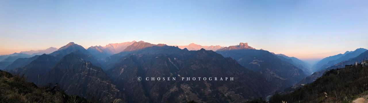
Continuing north for about 20 kilometers brings you to the first viewpoint: Weiren Peak (literally "Great Man Peak"). I must confess, I couldn't see the resemblance to a human face. Human metaphors always seem clumsy in the face of nature's masterful creations.
The Tiger Leap Viewpoint is a popular stop for tourists, where the river suddenly narrows with a large rock in the middle—similar in concept to the Tiger Leaping Gorge. But during the dry season, it's hardly spectacular. The "Golden Sand Silver Beach" (jīn mǎn yín tān) rapids further along looked more thrilling—because the Nujiang has no dams, it retains excellent natural whitewater resources.
Laomudeng—Zhiziluo: Sacred Mountain, Old Town, and Canyon
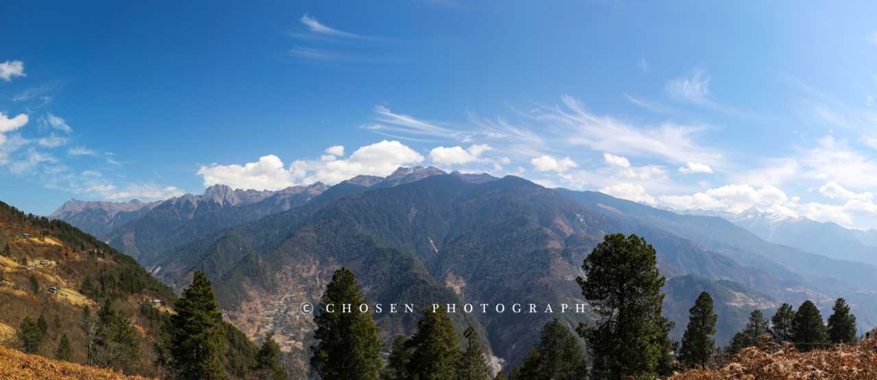
From Lushui, drive north along the Beautiful Highway, then turn off at Pihe Nu Autonomous Township onto a winding mountain road. After 13 kilometers, you'll reach Laomudeng—a village perched at 1,800 meters elevation on the mountainside of the Biluo Snow Mountains, offering one of the best panoramic views of the Nujiang Grand Canyon.
Although the village has seen an increasing number of concrete buildings in recent years, somewhat diminishing its traditional charm, the view of Crown Peak and the grand canyon remains stunning. If you don't just want to snap a photo and leave, hike the Sacred Mountain Trail up to the high-altitude tea factory, where you can sip tea while watching clouds drift through the canyon.
Laomudeng's Church and Choir
Laomudeng first gained fame largely because of its church and four-part harmony choir. In the early 20th century, French missionary An Shou (Père André) crossed the Biluo Snow Mountains to spread Christianity in the Nujiang region. Along with religion came modern lifestyles that began to benefit local residents. Today, most towns and villages in Nujiang Prefecture have churches.
The Laomudeng Church has been rebuilt several times to become what it is today—red-lacquered wooden windows, white walls, and a pond in front that, when shrouded in clouds and mist, creates a uniquely beautiful scene in the canyon. Word has it that villagers still gather to sing on Wednesday evenings, Saturday evenings, and Sunday mornings, afternoons, and evenings. I waited until 8 PM on a Sunday but no activity happened—perhaps because it was close to Chinese New Year's Eve. If you want to hear more authentic choir singing, you might need to venture into more remote villages.
Nu Family Beef Restaurant: A Taste of Laomudeng
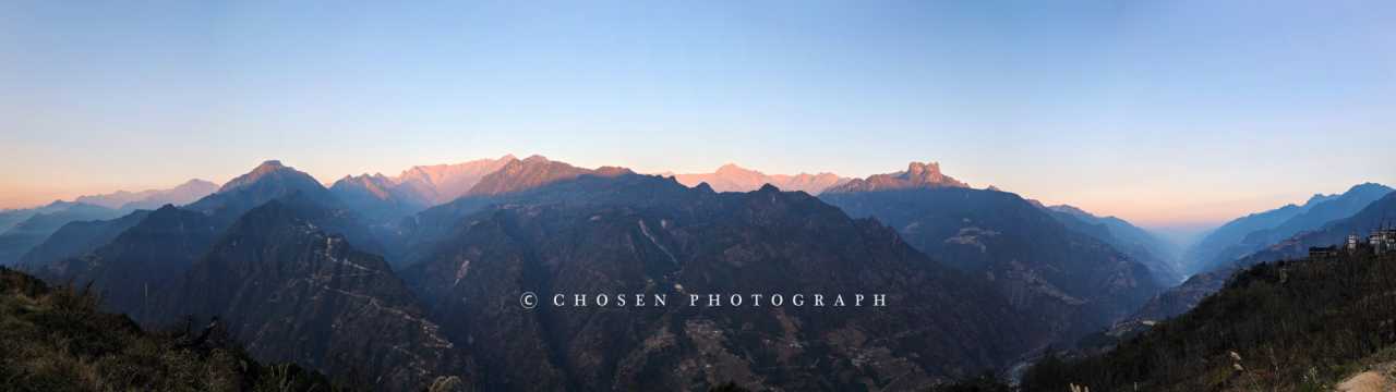
I must strongly recommend this restaurant. The beef was delicious, of course, but what left a lasting impression were the vegetable dishes—the loofah (sī guā) was so sweet and fresh that I ordered it two days in a row, and the cabbage was also wonderfully sweet and crisp. Many of the vegetables are grown by the owners themselves; simple, natural flavors are truly the finest cuisine.
The beef stew (niú pá hū) is braised beef with mint—tender and flavorful; the twice-cooked beef (huí guō niú ròu) leans toward Sichuan-style seasoning, perfect with rice; the oil-splashed dried beef (yóu lín gàn bā), flash-fried with chilies, is delicious even when cooled. What touched me most was the owner—on New Year's Eve at noon, a customer called saying they had come specially to eat there. The owner said he needed to go home for the family reunion dinner but eventually promised the customer: "After I finish the New Year's Eve dinner, I'll come back to the restaurant around eight or nine to cook for you." That kind of commitment is more heartwarming than any dish.
Bingzhongluo: A Paradise Where Humans and Gods Coexist
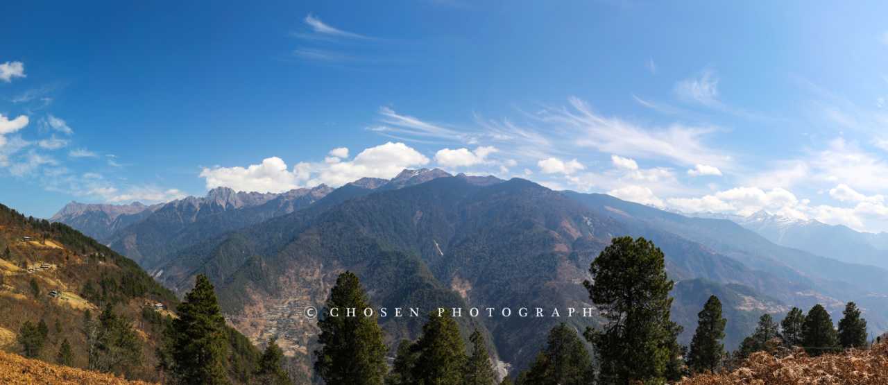
Someone came up with the tagline "where humans and gods coexist" for this small town over a decade ago, and it's still used today. Even though tourism development has filled Bingzhongluo with characterless modern buildings, if you're willing to go a little further, this valley—home to multiple ethnic groups, a mix of religions, surrounded by mountains and embraced by green waters—still holds plenty of charm.
Peach Blossom Island and Zhana Tong
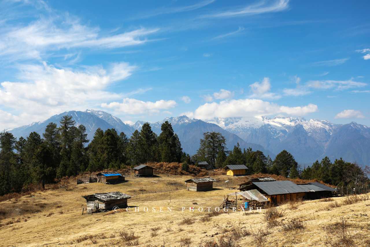
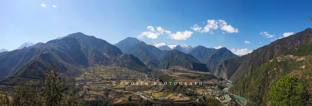
This small village on a peninsula is called Zhana Tong, named for the peach trees lining its main road. Most tourists only stop at the Bingzhongluo viewpoint for a photo before moving on. But if you're willing to spend 40 minutes hiking to the back-mountain viewpoint, you'll be rewarded with Bingzhongluo's most spectacular vista—the entire basin spreads out before you, the Nujiang River winds through the Stone Gate Pass, and the distant Gawagapu Snow Mountain stands majestically.
Wuli Village and the Ancient Tea Horse Road
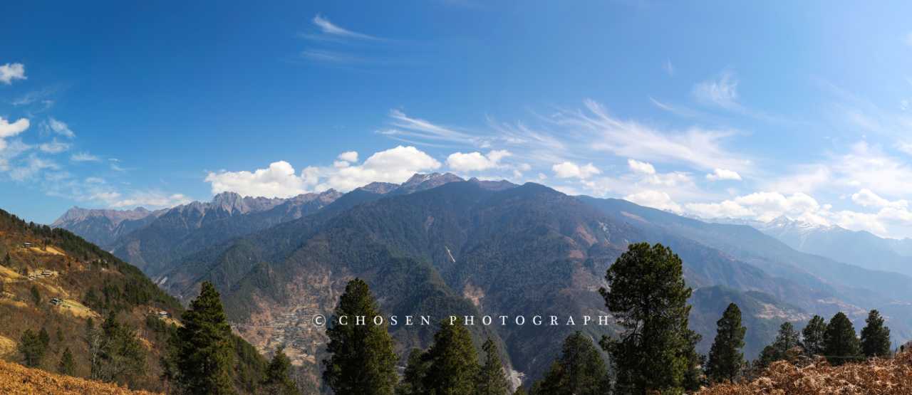
After capturing the panoramic view of Wuli Village from the viewpoint, I strongly recommend walking the section of the Ancient Tea Horse Road. It's just one kilometer to reach Wuli Village, and along the way you can observe the Nujiang River up close. Wuli Village feels like a paradise untouched by time—chickens and dogs can be heard, and flowers bloom along the paths between the fields.
Zhongding Village: Snow-Capped Mountains Overhead
Among all the villages, I have a particular fondness for Zhongding. This village is famous for its church, but what I discovered was that looking up from anywhere in the village, you can see Gawagapu, the main peak of the Gaoligong Mountains. There's a café across from the church where you can sit for a while. The experience of sitting in a café with snow-capped mountains looming overhead makes you feel momentarily disoriented, as if you're not sure where you are.
The Dulong River: An Emerald-Colored Hidden Gem
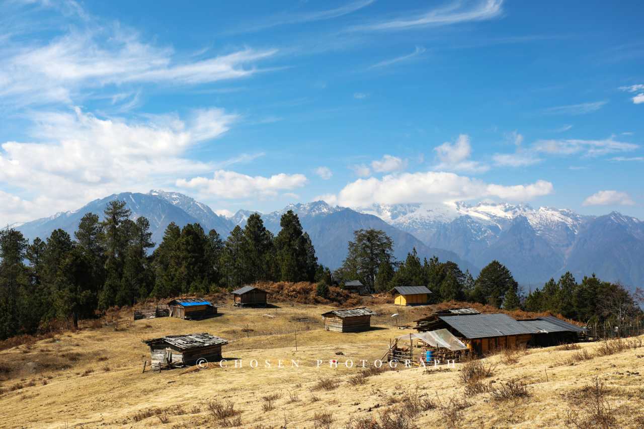
The Dulong River originates in the Boshula Mountains, winding its way between the Gaoligong Mountains and the Dandanglika Mountains. It's the westernmost of the three parallel rivers. The Dulong River area boasts a forest coverage rate of 93.1%, with an exceptionally pristine environment, connected to Gongshan County by just one road.
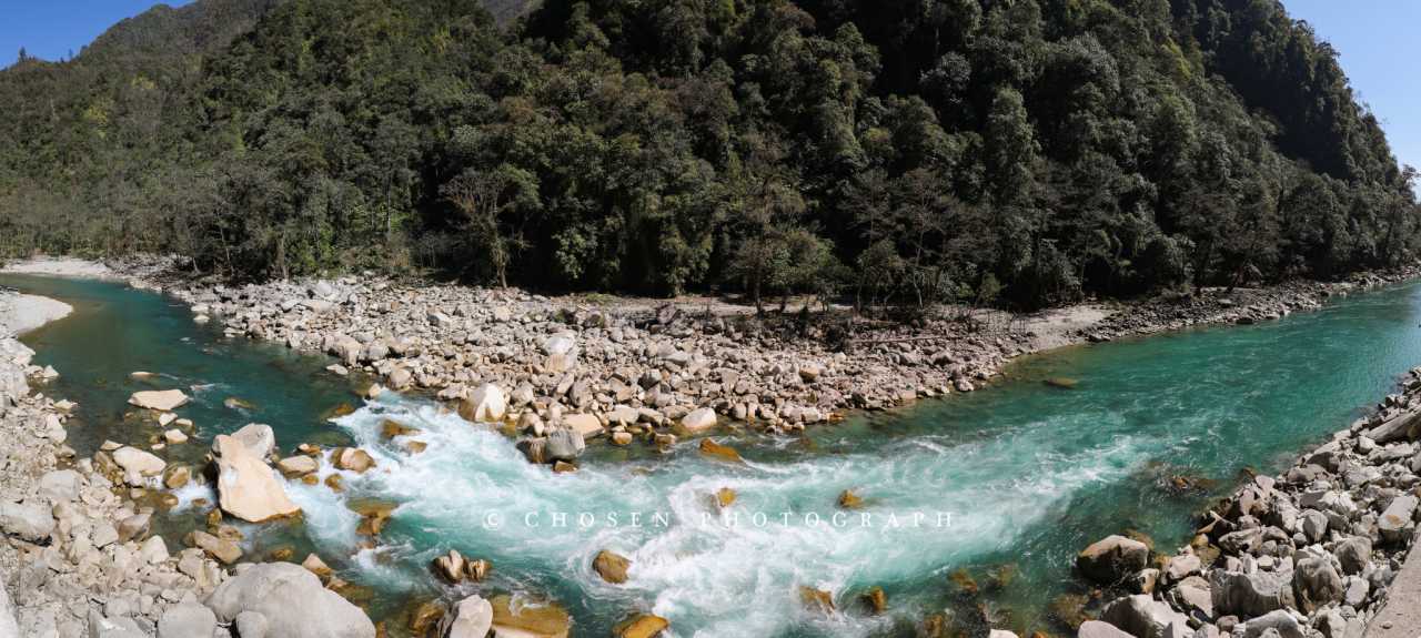
In winter, the Dulong River is shallow and gentle, displaying an emerald green color. During the rainy season, it reveals its ferocious side—the roads within Dulong River Township are littered with evidence of its destructive power.
Gongdu Highway: 81 Kilometers, 794 Curves
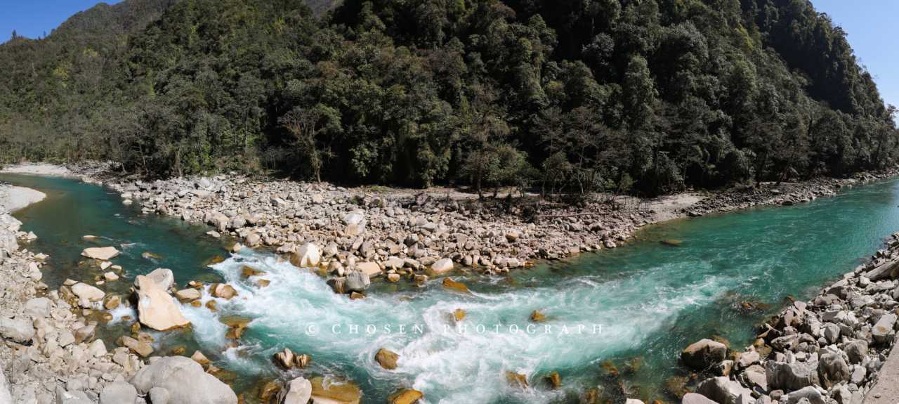
This notoriously dangerous highway is the only link between Dulong River Township and the outside world. It was just renovated in December 2025, and combined with this winter's severe drought and stable geological conditions, we caught it in its best condition ever. But driving on it—with its endless curves, obstructed views, and随处可见的 falling rocks (even in such a dry season!)—leaves no room for relaxation. In just 81 kilometers, there are 794 curves—no exaggeration; for two and a half hours, my steering wheel never straightened out.
But the arduous Gongdu Highway also delivers unforgettable scenery. The road climbs along the cliff face, deep into the mysterious heart of the Gaoligong Mountains. Towering primeval forest trees rise from the bottomless valley floor. As you round a particular U-shaped curve, the view suddenly opens up—a row of perpetually snow-capped peaks of the Gaoligong Mountains appears before you, guiding the driver's direction of exploration. Make sure you're the one holding the steering wheel on this road—otherwise, your experience will be greatly diminished.
Alulaka: The Secret of the Alpine Pastures
Alulaka is a high-altitude plateau deep within the Nujiang Grand Canyon, home to several alpine pastures and the best vantage point for viewing both the Gaoligong Mountains and the Biluo Snow Mountains. On clear days, you can even see Bingzhongluo town.
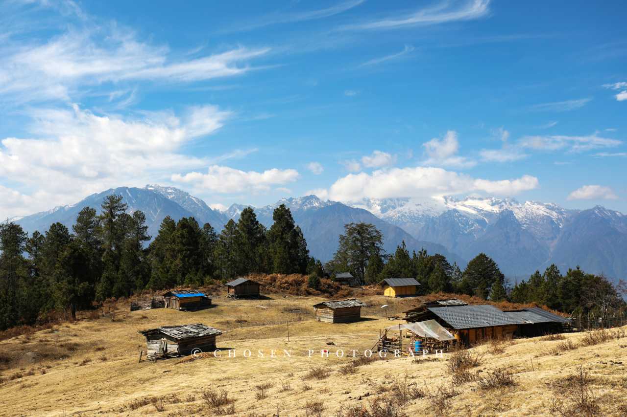
If it were just snow-capped mountains, grasslands, and forests, the hike at Alulaka would be merely beautiful. But at Pasture No. 1, we happened to meet a dog who became our "guide"—leading us and accompanying us for the entire hike. This delightful experience made the name Alulaka come alive in my memory.
If you have a four-wheel-drive vehicle, you can drive directly to Pasture No. 1, which has the best scenery. Aside from the luxurious Kangteng Hotel, the youth hostel in Dimalu, and an interesting guesthouse called Zhaxi Cabin, you can stay there if interested.
Final Thoughts: Go Now, Before It Changes
The beauty of the Nujiang Grand Canyon doesn't lie in any single attraction, but in every turn along the road, every time you look up, and every smile exchanged with the locals.
There are no crowds of tourists here, no cookie-cutter souvenir shops, no over-commercialized noise. Instead, there are emerald-green river waters, perpetually snow-capped mountains, villages blooming with peach blossoms, and people who remain warm and genuine.
What pleases me most is that travel in the Nujiang Prefecture is currently at that perfect balance between comfort and exploration. The infrastructure is developed enough to make it accessible to most people, but if you venture deeper, countless hidden landscapes still await discovery.
Go now—while the wildflowers are still blooming on those alpine pastures, while the peach blossoms are still in full bloom in those villages, while the warm and hardworking people still wear their most genuine smiles.
Set out. And remember: if you're not behind the wheel, this route loses much of its appeal. So drive there, and let every curve of the Nujiang Grand Canyon become an unforgettable part of your journey.
Practical Tips: - Road conditions on the Gongdu Highway are extremely unstable; be sure to check locally before setting out, and avoid it in rain or snow - China Unicom has no signal once you enter the mountains; China Mobile's signal is decent - Bingzhongluo is sparsely visited outside of holidays; some attractions may not be open—check in advance - The oranges in Nujiang Prefecture have thick, wrinkled skin and a sour taste, different from northern varieties - Accommodation options are plentiful, but book ahead during peak seasons like Spring Festival
You should also read:
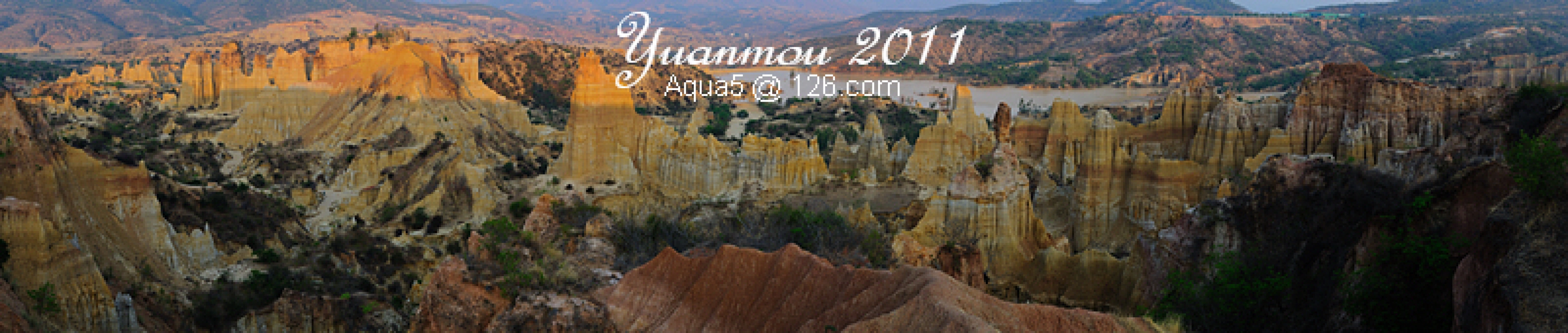
A Journey Through Time: The Earthen Forest of Yuanmou — April 2011 Chuxiong & Yuanmou Self-Drive Guide
A Journey Through Time: The Earthen Forest of Yuanmou — April 2011 Chuxiong & Yuanmou Self-Drive Guide Some journeys are destined to take root in your memory. In April 2011, I set out from Shuhe in Yunnan, heading north toward the Chuxiong Yi Autonomous Prefecture,…
Continue reading...
Dreamland – Lijiang: A Talking Comic Travel Guide
Dreamland – Lijiang: A Talking Comic Travel Guide Prologue: When Lijiang Takes Root in Your Heart Some places leave a mark on you forever. They're like an old song on repeat, suddenly playing in your mind on an ordinary afternoon. For me, Lijiang is that…
Continue reading...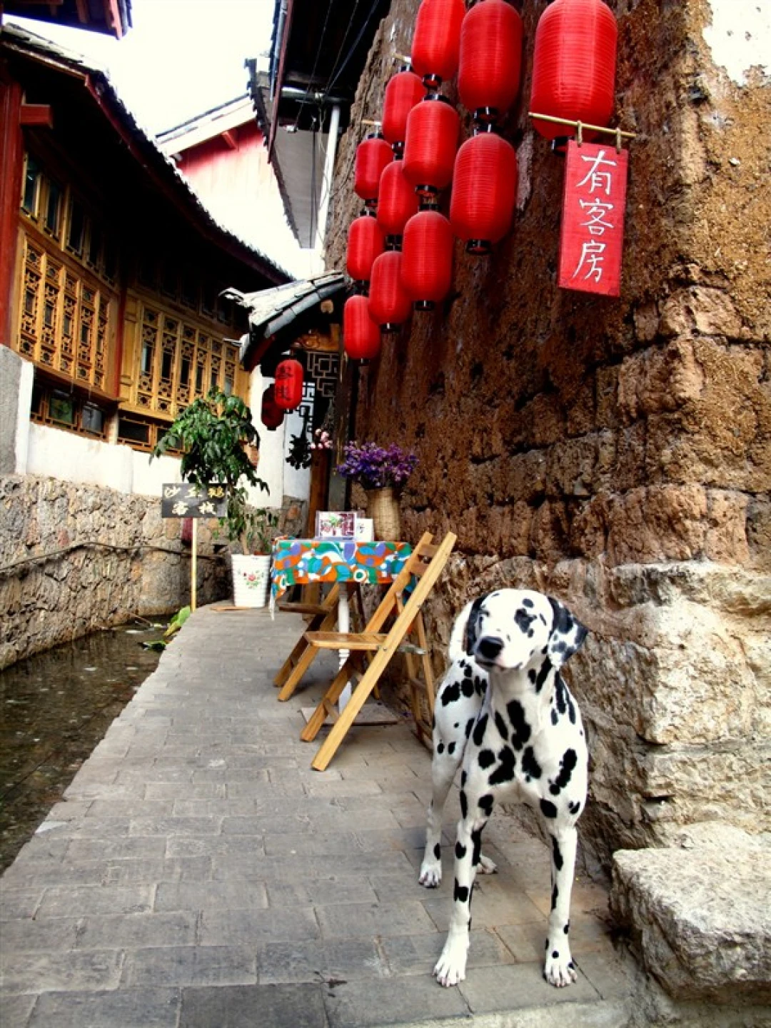
Yunnan Travel Mastery: From Beginner to Pro-Level Player – A Complete Guide
Yunnan Travel Mastery: From Beginner to Pro-Level Player – A Complete Guide "Either travel or read, but your body and soul must be on the road." This quote has been repeated countless times, but very few people truly manage to be "on the road" and…
Continue reading...