Drawing Two Circles in Yunnan | Two Winter Road Trips Through the Land of Eternal Spring
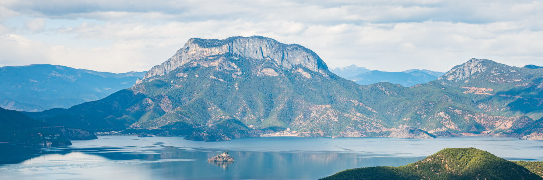
Drawing Two Circles in Yunnan | Two Winter Road Trips Through the Land of Eternal Spring
Introduction: Where the North Wind Never Blows – The Call of Yunnan
When the northern winds whip across the frozen landscape, carrying snow and ice in their wake, Yunnan opens her arms like a gentle mother, welcoming all souls who seek warmth and freedom. Here, mighty rivers carve deep furrows through the land from north to south. The towering Hengduan Mountains stand as a natural barrier, guarding this vast southern frontier. At over 6,000 meters above sea level, the snow-capped Meili Snow Mountain crowns the range, its gaze following the southward rivers past peaks and lakes, through dense forests and ancient pathways, all the way to the tropical rainforest at the southernmost tip, where the altitude barely reaches a few hundred meters.
Yunnan has always been a place of my dreams. It offers diverse natural ecosystems, brilliant ethnic cultures, and landscapes that make you want to linger forever. Over two consecutive winters, I drove across this magical land, drawing two circles on the map – an imperfect but heartfelt figure-eight route covering 4,800 kilometers in total. Though I didn't see everything, I covered most of Yunnan's regions. Today, I want to record every detail of this journey, hoping to provide some practical guidance for those who, like me, yearn to explore this land.
Trip Overview: Two Winters, Two Routes
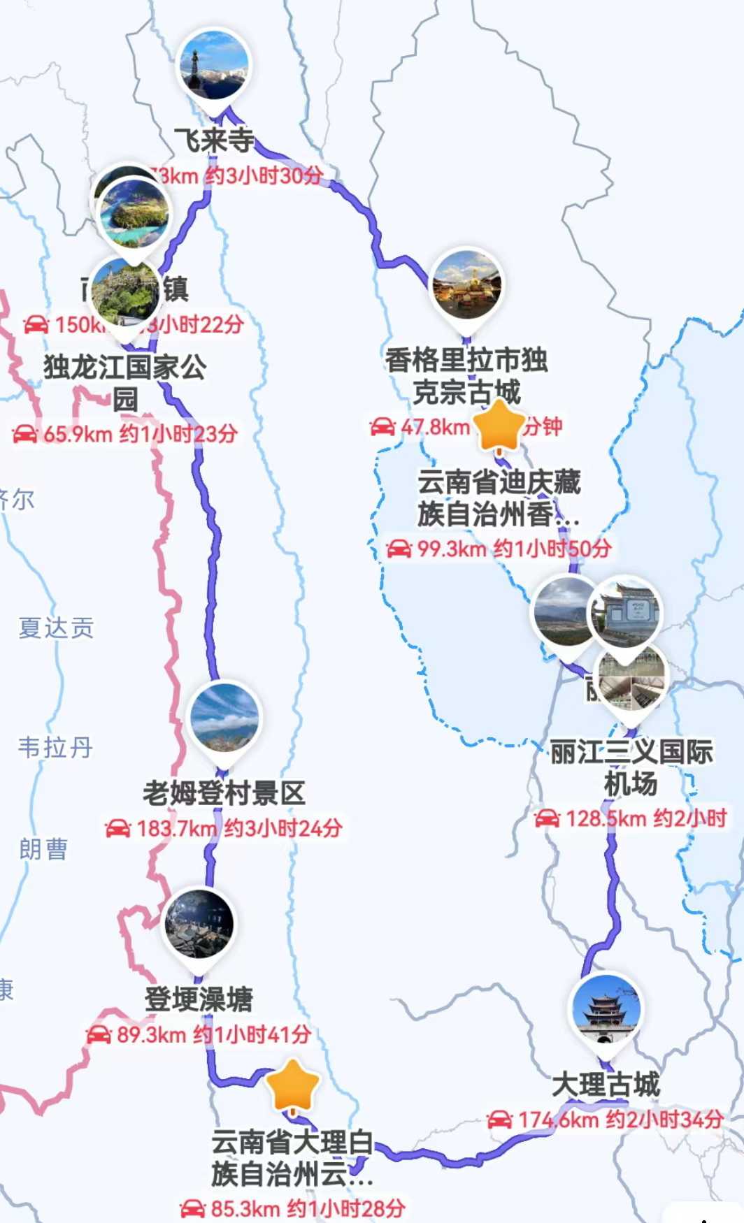
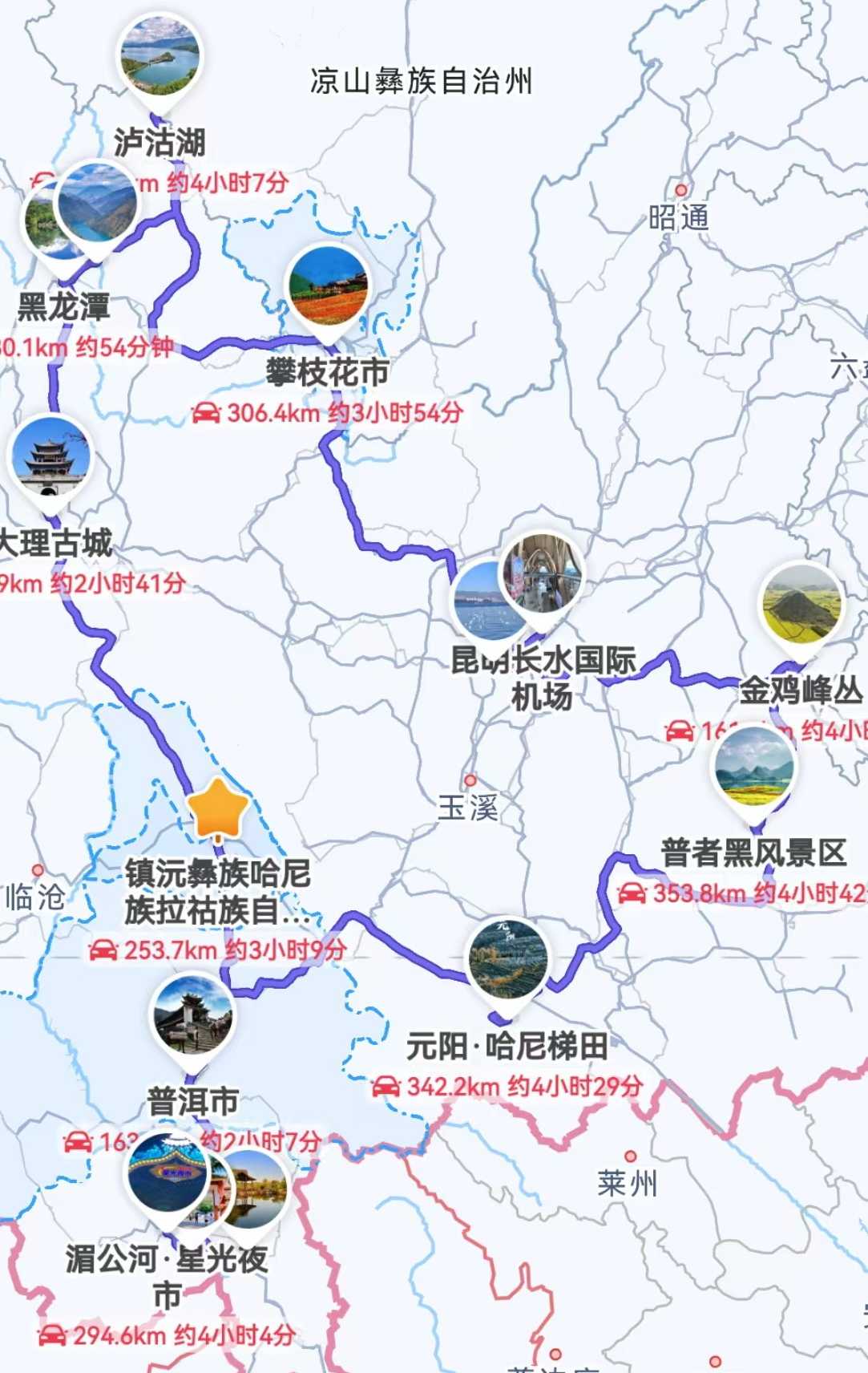
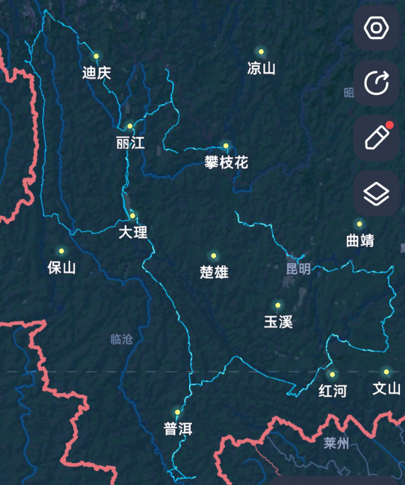
Let's start with the route maps from my two trips. The first time, I took the smaller loop on the left; the second time, I traced the larger loop on the right. Each route had its own charm and unique experiences.
First Trip: Solo Drive, 7-Day Western Yunnan Loop
That was a solo journey – simple and pure. I flew from Guangzhou to Lijiang, rented a car, and completed this small loop in seven days:
- Day 1: Guangzhou → Lijiang (pick up car, check in)
- Day 2: Lijiang → Dukezong Ancient Town (National Highway 214, circle Napahai Lake, visit Guishan Park)
- Day 3: Dukezong Ancient Town → Deqin
- Day 4: Deqin → Bingzhongluo (cross the Degong Highway, explore Wuli Village)
- Day 5: Bingzhongluo → Laomudeng (head south along National Highway 219)
- Day 6: Laomudeng → Dali (National Highway 219 to 357, then expressway, explore the old town)
- Day 7: Half-loop around Erhai Lake → Lijiang → Guangzhou
Second Trip: Family Adventure, 12-Day Southern Yunnan Grand Loop
The second time, I traveled with my parents and child – four of us in total. The pace was more relaxed and the itinerary richer:
- Day 1: Guangzhou → Kunming (pick up car) → Panzhihua
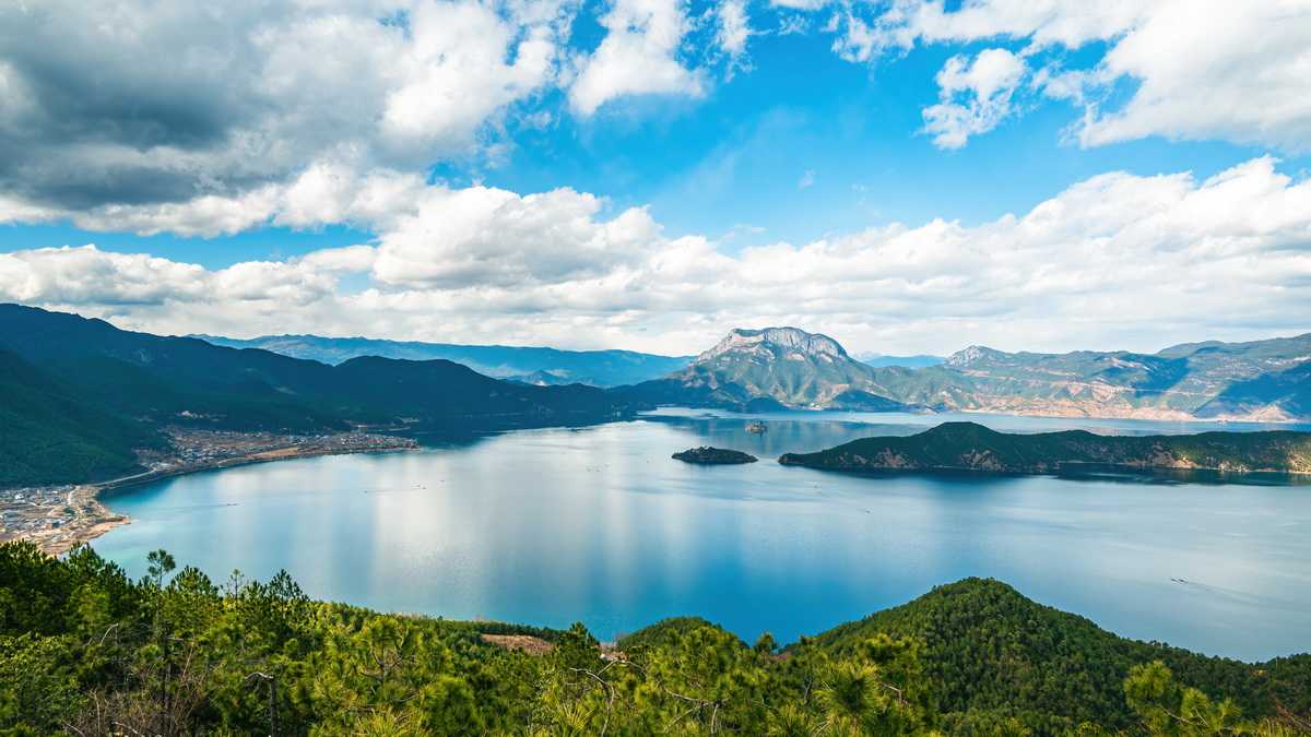
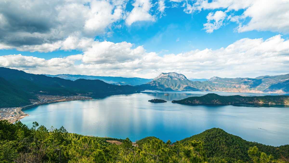
- Day 2: Panzhihua → Lugu Lake (half-loop, stay near Dazu Pier)
- Day 3: Continue circling the lake → Lijiang (visit Heilongtan Park)
- Day 4: Lijiang → Dali (explore the old town)
- Day 5: Half-loop around Erhai Lake → Zhenyuan
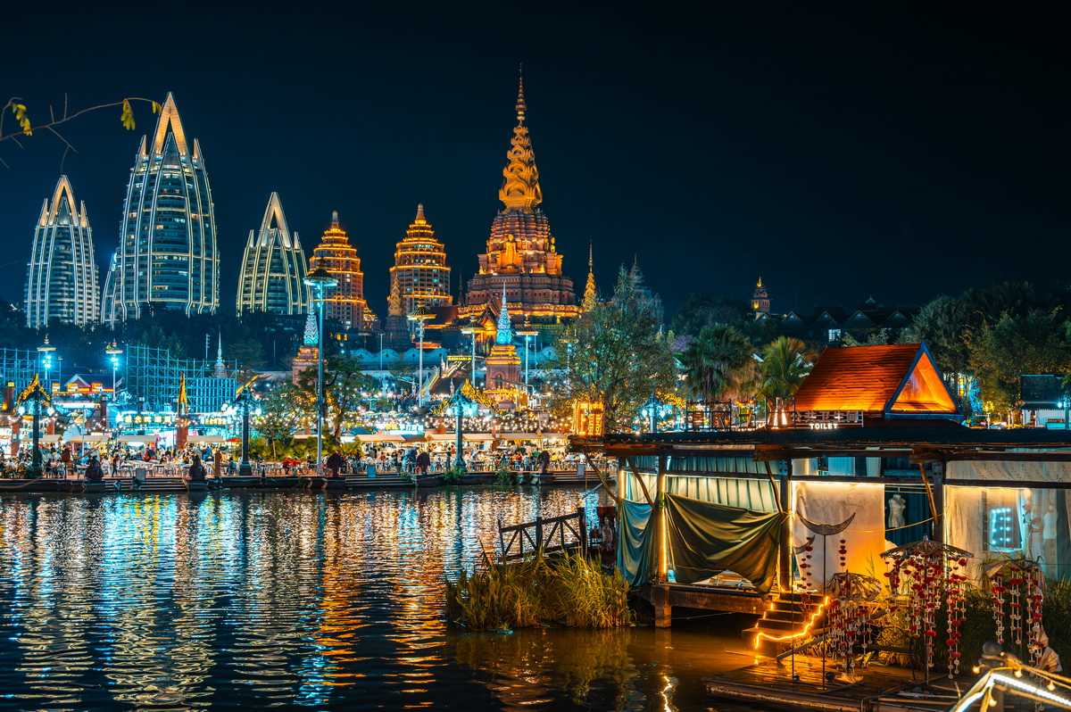
- Day 6: Zhenyuan → Jinghong, Xishuangbanna (Manting Royal Garden, Starlight Night Market)
- Day 7: Jinghong → Manyuan Village → Tropical Botanical Garden → Pu'er
- Day 8: Pu'er → Yuanyang Hani Rice Terraces (encountered heavy fog)
- Day 9: Hani Rice Terraces → Puzhehei (climb Qinglong Mountain)
- Day 10: Rainy second climb up Qinglong Mountain → Luoping (scout Jifeng Cong peaks)
- Day 11: Luoping (Niujie Snail Terraces, Jifeng Cong peaks) → Kunming
- Day 12: Kunming → Guangzhou
Costs and Practical Tips: Secrets to Saving Money and Hassle
Expense Breakdown
First solo trip: - Car rental: approximately 1,100 RMB - Accommodation: approximately 1,200 RMB - Highway tolls: only 88 RMB (mostly took national highways) - Gas: 700 RMB
Second family trip: - Car rental: approximately 1,900 RMB - Highway tolls: approximately 1,000 RMB - Gas: approximately 1,400 RMB - Accommodation: approximately 3,600 RMB (two rooms or family rooms)
Note: Airfare and meals are not included in these totals.
Winter Driving Tips
Off-season advantages: January isn't peak tourist season, so car rental and accommodation prices are quite reasonable. Except for a few popular cities, crowds are thin. Most of Yunnan isn't terribly cold in winter either, making it a great value destination.
Road condition warnings: Southern Yunnan stays warm in winter, so driving is generally no problem. But the north gets cold, with occasional snowfall and icy roads that may lead to closures. Before setting out, check road conditions by searching for keywords like "Deqin warning," "Shangri-La warning," or "Gongshan warning" on Baidu to see if there are ice or snow alerts. To be safe, I carried plastic tire chains just in case.
Extreme temperature differences: The temperature gap between northern and southern Yunnan is staggering – Deqin and Shangri-La can drop below -10°C, while Xishuangbanna might exceed 30°C. In the north, choose hotels with heating or underfloor heating. Pack everything from down jackets to short sleeves – you'll need them all.
Western Yunnan Loop Day 1: Arriving in Lijiang, First Glimpse of the Snow Mountain

I flew direct from Guangzhou to Lijiang at noon, heading straight to the rental car agency after landing. I'd originally booked a Honda Vezel, but the clerk said it was in for repairs and upgraded me to a Volkswagen Magotan. I was a bit worried about the ground clearance, but I had no choice – I'd just have to make it work. By the time I picked up the car and drove into Lijiang city, it was already dark, so I didn't go out exploring – the biggest drawback of winter travel is how short the days are.
I only planned to stop in Lijiang for the night, so I didn't stay in the tourist-heavy area. The room was quite nice and reasonably priced. The best surprise? From the rooftop, I could see Jade Dragon Snow Mountain. I passed through Lijiang twice on these trips but never entered the Jade Dragon Snow Mountain scenic area – personally, I think the value isn't great, and all those complicated package deals online give me a headache. You can see the mountain from outside – why pay to go in? If you're just passing through Lijiang as a stop on a longer journey, there's no real need to go inside. But if you're visiting Lijiang specifically, you could set aside a day for it.
Western Yunnan Loop Day 2: Heading to Shangri-La, Discovering Napahai Lake
I woke up in the morning feeling as bright as the weather outside. After breakfast, I headed north along National Highway 214. Jade Dragon Snow Mountain appeared and disappeared to the right of the car. Just outside the city, there was a construction zone with a good photo spot, but I hesitated and didn't stop because of the work site.
The road ahead was smooth, and the scenery was a feast for the eyes. The Jinsha River, Jade Dragon Snow Mountain, and Haba Snow Mountain kept me company in turns. Even though I was traveling alone, I never felt lonely. About 40 minutes into the drive, I passed the "Xionggu Viewing Platform" – a free lookout where you can see both Jade Dragon and Haba snow mountains at once. Entering through the gate leads to the highest viewing platform. Behind it is a temple, and a small path on the left descends to an old pavilion. I turned back there without going further.
At this point, the highway ran along the right bank of the Jinsha River, but soon I crossed the Songyuan Bridge into Shangri-La territory, and the river shifted to the right side of the road. The water here was a jade green, perfectly complementing the two snow mountains – a sight so stunning it made me want to stop and photograph it. Tiger Leaping Gorge was nearby, but I'd heard the roads were narrow and crowded, with long queues, so I gave it a miss and continued north on Highway 214.
The Jinsha River made a sharp right turn here, heading straight for Tiger Leaping Gorge. After leaving the river behind, I began climbing, the altitude steadily rising. Some shaded sections of road had snow, but there was almost no ice, and the conditions were good. Then I passed through a high-altitude meadow – wide open, with yaks and horses grazing peacefully. The road surface was excellent, and traffic was sparse. Driving fast through this landscape was pure joy.
About three hours later, I entered Shangri-La city, spotting a white pagoda in the distance. I stayed inside Dukezong Ancient Town, where the stone-paved streets made for a bumpy ride. The guesthouse was small but comfortable – I chose a two-story loft room with a bed on the second floor. It was perfect for lying in bed and reading, feeling completely at ease. The loft had a glass skylight, but it was frozen shut in winter, so I couldn't open it or see out. Staying in the old town was convenient, but parking was tight, and prices might be a bit higher than the outskirts.
After a short rest, I drove to Napahai Lake. The guesthouse owner suggested doing a clockwise loop in the afternoon, starting by navigating to "Napachoda Tourist Area" and then driving clockwise around the lake. A short section of road was under construction (probably finished by now) and rough, but the rest was in good condition. There were few people, and I could stop anytime to take photos. Napahai Lake was a pure sky blue – not breathtaking, but pleasant. With the cool weather, I rolled down the windows and drove slowly around the lake, feeling completely relaxed. Yaks grazed by the roadside now and then, and at one bend, a huge flock of coots bobbed on the water like black velvet balls.
When the road began to pull away from the lake (passing a horse farm), a left turn led to a viewing platform (you can navigate to "Yanqin Scenic Spot"). The view was good – you could see the entire lake and, in the distance, a shy, half-veiled snow mountain. On the way back to the old town, I passed large wetlands. The winter grass had turned yellow, adding a warm tone between the blue sky and the lake.
I returned to the guesthouse around 4 PM, parked, and strolled through the old town on foot. It wasn't large. Walking on the stone streets, you could feel the weight of history. But the rows of shops on either side reminded you that this was now just a tourist attraction. Businesses renting Tibetan costumes were doing brisk business – tourists in traditional dress were everywhere, having their photos taken. Dressing up in local attire for a photoshoot seemed to be the hottest travel trend. There were so many young couples in the crowd that I felt a twinge of envy – at their age, I didn't have the money to travel.
Without needing a map, I headed toward the tallest building and soon reached Moonlight Square. People were feeding pigeons. To the east was the entrance to Guishan Park. The altitude was high, so I took my time climbing the stairs. Inside, on the right, stood the world's largest prayer wheel. I watched from the viewing platform as a few people tried to turn it, but it wouldn't budge. I joined in, and with everyone pushing together, the wheel slowly began to rotate. A girl shouted that we needed to turn it three times clockwise and not to stop.
After coming down from Guishan Park, it was past 5 PM, and I wandered back through another part of the old town. Apparently, in previous years, the roads were often covered in snow at this time, but this year the weather was unusual. There was no snow, but some stones had been polished smooth by footsteps, making the downhill sections slippery. Some spots even had ice, so I had to be careful. I found a small restaurant and ordered a local specialty called "Maliga" – essentially beef buns. They were quite tasty.
Western Yunnan Loop Day 3: Heading to Meili, Hiking Baima Snow Mountain
The night in Shangri-La was cold. When I woke up, the car was covered in a beautiful layer of frost flowers. Continuing north on Highway 214, I first passed Songzanlin Monastery. Quite a few people had stopped by the roadside to take photos – it must be a popular spot at sunrise, but I was already a bit late.
Soon I passed Napahai Lake again, heading toward Deqin. After crossing a few bridges, I reached a higher-elevation viewing platform with a panoramic view of the lake. In the morning, mist hung over the water, creating an ethereal scene. Even if you weren't going to Deqin, I think this platform is worth a special trip.
Leaving Napahai behind, I soon rejoined the Jinsha River. In winter, the river sparkled with an enticing green as it wound through barren valleys – truly a sight to behold. Along the way, I passed the First Bend of the Jinsha River. This massive curve belongs to Ganzi in Sichuan, but the viewing platform is in Yunnan, right next to Highway 214. It used to be free, but now it's fenced off, and you have to pay 20 RMB to drive in. I saw only one staff member, the merchandise counters were empty, and the exit was blocked – you had to leave through the entrance. Fencing this place off felt really unfair, like they were just desperate for money. This was the only place I had to pay for a ticket on the entire western Yunnan loop. Still, the bend was indeed spectacular, especially in winter, when the Jinsha River looked like a jade belt stretching into the distance without a ripple.
After the bend, I said goodbye to the Jinsha River. Further ahead, I reached Baima Snow Mountain. I'd originally planned to go up to the Baima Snow Mountain Pass. Before the Baima viewing platform, there was a sign on the roadside pointing to an old national highway on the left, going downhill. I tried driving down a short section, but the road was rough. Then I met an SUV coming back up, and the driver told me the road ahead wasn't good – he'd turned around. Hearing that, I retreated to the new highway. Not far ahead was the Baima viewing platform, which was close to the mountain but didn't offer the best view.
I used a navigation app to search for the Baima Snow Mountain Pass. It showed that if I continued on the new Highway 214, there would be a side road leading up to the pass, less than 7 kilometers away. But the app also indicated it might be closed. When I reached the turnoff, I saw a barrier blocking the road. But for some reason, the lock on one end was already undone, so the barrier could be lifted. Beyond the barrier was just a bend. My first thought was to go around the bend and take a look. Once I did, I saw the road was clear, so I kept going. I hadn't planned to go far and hadn't brought any supplies, but I didn't feel like going back for them, so I continued. A few sections had snow and ice, but nothing that affected driving.
Little did I know that this would turn into a real adventure. After about two kilometers, two cars drove up – they'd obviously lifted the barrier to get through (I was too rule-abiding). I gestured, hoping they'd give me a ride to the pass, but both cars sped past. I thought: daring enough to break the rules and lift the barrier, but not daring enough to pick up a stranger. Still, I couldn't blame them. I'd just have to walk.
The scenery along the way was nice – rugged peaks ahead, the winding national highway below threading through the mountains. I climbed slowly, enjoying myself. The temperature was probably only a few degrees Celsius, but I didn't feel cold – in fact, I was getting a bit warm from the exertion. After a while, I could see the pass marker – a stone pillar with the altitude engraved on it. I guessed I was already above 4,000 meters. According to the navigation app, I was still about 3 kilometers from the pass – meaning I'd covered most of the distance. But my head was starting to ache – probably mild altitude sickness from the continuous climbing at high elevation. Safety first – I decided to turn back. This experience taught me to be more cautious about hiking at high altitudes in the future.
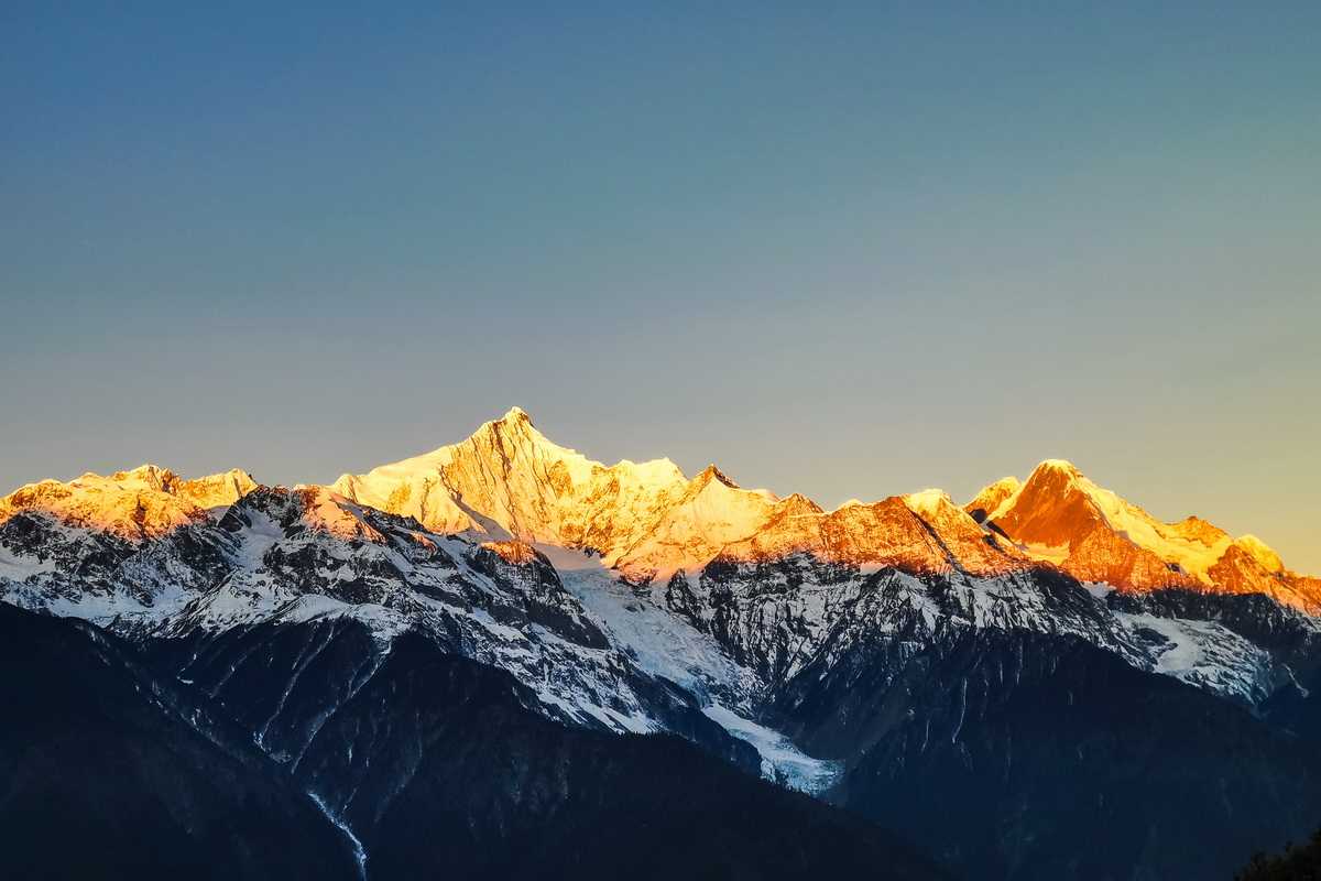
Not making it to the pass was a small regret, but it was quickly overshadowed by the sight of Meili Snow Mountain, which appeared after I rounded a bend. The first glimpse was stunning. At first, I could only see part of the range, but soon the full panorama of the Thirteen Peaks came into view. I'd seen many snow mountains on this northward journey, but Meili was unique – its shape was so perfect. When God created it, He must have been working as a sculptor.
I'd booked a guesthouse near the Feilaisi viewing platform. When I arrived, the listed price was actually lower than what I'd seen online. The guesthouse was better than I expected, and the underfloor heating was excellent. My headache was still there, so I rested for a while and felt better. Then I climbed up to the rooftop terrace. The view was fantastic – almost as good as the Feilaisi viewing platform – so there was no need to enter the scenic area and pay the entrance fee. It was past 6 PM by now, and the sun had already set, leaving an orange glow on the other side of the snow mountain.
Highway 214 runs right through the Feilaisi scenic area, which is also the only main road in the area. Both sides were lined with guesthouses and restaurants of all sizes, and cars were parked everywhere, so traffic jams were common. I found a small restaurant and went in. The owner was the only person there – he took orders, cooked, and served. In the end, he basically just did the cooking, and customers had to get their own food. Being in a scenic area, the prices were a bit higher than elsewhere. I ordered some Tibetan pork belly, which was quite tasty.
Back at the guesthouse, I heard two pieces of good news: first, there was a good chance of seeing the "Golden Mountain" sunrise the next morning; second, the Degong Highway was open. The second piece of news relieved my biggest worry. Before setting out, I'd read online that the highway was closed, but the guesthouse owner told me it had been closed due to snow but that a friend of his had driven it that day, so it was definitely passable.
Western Yunnan Loop Day 4: Golden Mountain Sunrise, Crossing the Degong Highway
Winter is a good time to see the Golden Mountain sunrise – you don't have to get up too early. The guesthouse owner had told me the timing: around 8:10 AM. I went up to the rooftop at about 7:50, and there were already many people there. The best spots were occupied by tripods, and even the railing was lined with phones. The sun was still below the horizon, but a bright moon hung in the sky, its light bathing the snow mountain, making the white peaks stand out sharply. The early morning air was bitingly cold, and some people couldn't take it and retreated indoors.
Just after 8:10, the tip of Kawagebo Peak began to blush with a faint red. The color spread rapidly, shifting to orange, then to a brilliant gold. The whole process happened very quickly – within five or six minutes, the entire peak was engulfed in gold. The golden light flowed outward, gradually claiming the lower peaks. After about ten minutes, the color began to fade, returning to white, signaling the end of the Golden Mountain spectacle.
After breakfast, I climbed back up to the rooftop terrace for one last look at Meili's sacred face. Then I packed my bags and set off for the most uncertain leg of the journey – the Degong Highway. The guesthouse owner's words from the previous day had eased most of my concerns, but there was always uncertainty until I actually crossed it. If the highway was impassable, I had backup plans: either return to Shangri-La and go to Balagezong, or take a longer detour to the Nujiang River area.
Leaving the Feilaisi scenic area, I drove a short section of Highway 214 before turning onto the Dewei Line. This road basically wound around the mountains, with occasional rough patches. After about an hour, I crossed the Lancang River and reached the starting point of the Degong Highway. The first section ran along the Lancang River, and soon I encountered a roadblock. My heart sank a little, but the worker didn't say a word – he just lifted the barrier and waved me through. I could imagine that not long ago, ordinary vehicles weren't allowed through here.
Then came the uphill section. The road was in good condition, but there were many curves, and rockslides were common by the roadside, so I had to be careful. The scenery was beautiful – snow mountains and tall trees accompanied me. As the altitude rose, the temperature dropped, and I could see icicles hanging from the roadside. A small waterfall fell through the icicles – not spectacular, but charming. Traffic was very light; I drove for long stretches without seeing another car.
Approaching the Peacock Mountain Tunnel, I came to a shaded area with a lot of snow on the road. The open ground by the roadside was covered in thick snow. I couldn't resist stopping to play in the snow for a while. Breathing in the cold air felt invigorating. When I got back on the road, I saw a line of cars coming toward me. They were driving right down the middle of the road, their tires churning through the melting snow, leaving two gray tracks on the white surface. I pulled over and waited for them to pass, then followed those tracks through the snowy section.
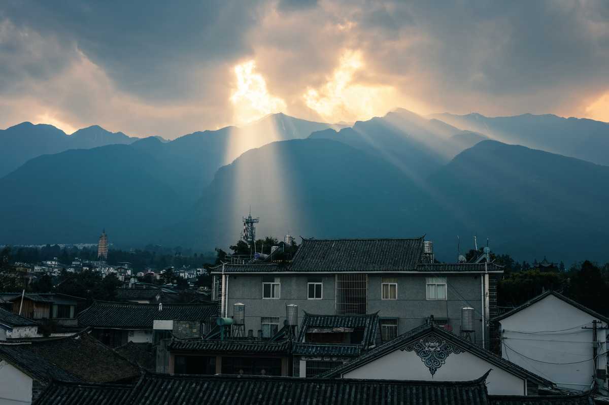
The Peacock Mountain Tunnel was already open, so I didn't need to cross the mountain itself. While I missed some scenery, it made the trip much safer and faster. However, the tunnel wasn't completely finished – there were rocks and uneven spots inside, so I had to drive carefully. After exiting the tunnel, there was a road going uphill to the left – probably the old road to the pass. I saw some off-road vehicles heading up. There was also snow on this side of the tunnel, but after descending a bit, it disappeared completely. A few sections were still under construction and rough. But there was no doubt about it – I'd successfully crossed the Degong Highway. I'd gone from the Lancang River to the Nujiang River, from Highway 214 to Highway 219. The whole journey took about four hours, with about three hours of actual driving time.
Highway 219 was in excellent condition, winding north along the Nujiang River, with sheer cliffs on the other side. Traffic was light, and just driving on this road felt exhilarating. Approaching Bingzhongluo, I passed the First Bend of the Nujiang River. The Nujiang's water was also emerald green in winter, but a shade lighter than the Jinsha River. The village in the middle of the bend was Taohua Island (Peach Blossom Island), but the peach blossoms weren't in bloom yet. I imagined that when spring came, with red flowers and green water, it would be absolutely stunning.
My accommodation was booked in Bingzhongluo, but it was only just past 1 PM, so I drove straight to Wuli Village first. Along the way, I passed the Shimen Pass (Stone Gate Pass) scenic spot, which had a small garden with a viewing platform. Looking south from the platform, there was a 90-degree cliff on the right, and on the left, the normally calm Nujiang River churned through a rocky section, creating small waves. A woman traveling alone was there and asked if I was going to Wuli Village and could give her a ride. She'd walked here from Bingzhongluo – there was a pedestrian path along the Nujiang River, so it was safe.
Near Wuli Village, I saw a suspension bridge. There was an open area where I parked. The woman said goodbye and continued along Highway 219. I crossed the suspension bridge, followed a boardwalk, and entered Wuli Village. The village faced the river on one side and was surrounded by mountains on the other three. A sloping area in the middle was used for farming, with wooden houses scattered here and there, and the sounds of chickens and dogs filled the air. The village had clearly retained its original character – there was almost no commercial atmosphere.
At the other end of Wuli Village, there was a well-preserved section of the ancient Tea Horse Road. It took me a while to find the right path – after crossing the Yunzhong Wuli Bridge, I headed toward the river and found a stone path. Following that and then a dirt road, I eventually reached the entrance to the Tea Horse Road. This ancient road was carved into the cliff face, with some sections so narrow that I had to watch my head. The amount of labor required to build such a road back then must have been immense.
After finishing the Tea Horse Road, I came to another suspension bridge, next to an old, dilapidated bridge. Crossing the new bridge brought me back to Highway 219. Walking back along the highway to the first suspension bridge, I retrieved my car. Along the way, I passed a viewing platform directly facing Wuli Village – the best spot for a panoramic photo of the village. I'd heard that in the morning, the village was often shrouded in mist.
I then returned to my guesthouse in Bingzhongluo. The accommodation was average, but parking was convenient, and it seemed I was the only guest that night. The owner recommended a viewing platform on Gongdang Mountain, behind Bingzhongluo. Leaving Bingzhongluo and heading south, I found a turnoff on the right just before a tunnel, and followed the road up the mountain. The road was rough, with a construction section full of potholes that could easily scrape the bottom of a sedan. After about twenty minutes, I reached a public toilet where I could park. Passing through a gate next to it, walking past some houses, and following a stone path, I arrived at a small viewing platform. It was littered with trash, but the view was excellent – a high vantage point overlooking the Nujiang River bend, with a hint of white on the horizon beyond the mountains – Baima Snow Mountain? No, Bilo Snow Mountain.
It was just past 5 PM, and the sun was setting. The light was blocked by Gongdang Mountain behind me, creating a natural contrast of light and shadow on the landscape ahead. Back in Bingzhongluo, I wandered through the streets. "Luò" in Bingzhongluo means "village" – Yunnan has many ethnic groups, and different villages have different names, like "tǒng" and "dāng." There were very few tourists at this time, and the commercial atmosphere was subdued. Walking around felt relaxing and unhurried. The woman I'd met earlier told me she'd met another woman in her sixties in Bingzhongluo who had already been staying there for 20 days. I found a restaurant and went in. The owner was very kind – seeing that I was alone, he made me a small pot of cured pork and chicken stew that wasn't even on the menu.
Western Yunnan Loop Day 5: An Unexpected Encounter at Dulong River, A Peaceful Night at Laomudeng
I slept well that night, waking to the sound of roosters crowing. Around 8 AM, I climbed to the rooftop of the guesthouse and saw the Gaoligong Mountains to the west, their peaks bathed in gold by the rising sun. But since I could only see a corner of the range, it wasn't as spectacular as the Golden Mountain sunrise at Meili. A light mist rose from Bingzhongluo in the morning, with wisps of cooking smoke cutting through it – it did feel a bit like a fairyland. Calling Bingzhongluo a place "where humans and gods coexist" might be an exaggeration, but calling it a paradise isn't far off.
After saying goodbye to Bingzhongluo, I drove south along Highway 219. There were various scenic spots along the way, all marked with signs, though some smaller ones didn't have parking areas. Today brought an unexpected detour – I hadn't planned to visit the Dulong River, but I found that it was only a 20-minute drive from Highway 219 to the Dulong River National Park, so I decided to check it out. The Gong-Du Highway followed the contours of the mountain, winding quite a bit, but traffic was very light. When I arrived, I found that this was just the entrance to the nature reserve, and I still had to drive another 60 kilometers to reach Dulong River Township. Since I was already there, I figured I might as well go in. I drove through the gate, and a guard came over to ask a few questions – where I was from, why I was going – and then let me in for free.
The road inside was narrower and even more winding, but the scenery was nice. Since I hadn't done any research on this route beforehand, there were some pleasant surprises. For example, not long after entering, I saw a small waterfall...
You should also read:
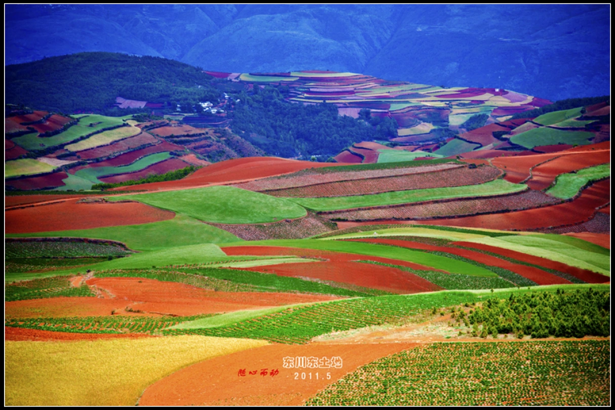
God’s Abandoned Palette: A Self-Drive Journey Through Yunnan’s Dongchuan Red Land
God’s Abandoned Palette: A Self-Drive Journey Through Yunnan’s Dongchuan Red Land Travel has never been about reaching some distant geographic coordinate. It’s about encountering, along the way, the version of yourself buried beneath the rubble of daily routine. During this May Day holiday, I finally…
Continue reading...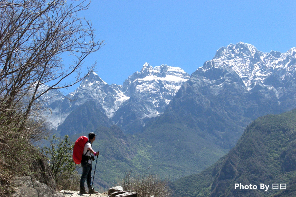
Body in Hell, Heart in Heaven: A Pilgrimage Through Tiger Leaping Gorge — A Dialogue Between Heaven and Earth
Body in Hell, Heart in Heaven: A Pilgrimage Through Tiger Leaping Gorge — A Dialogue Between Heaven and Earth Introduction: When the Gorge Splits Open Beneath Your Feet Some say Tiger Leaping Gorge is the closest place on Earth to the border between "hell" and…
Continue reading...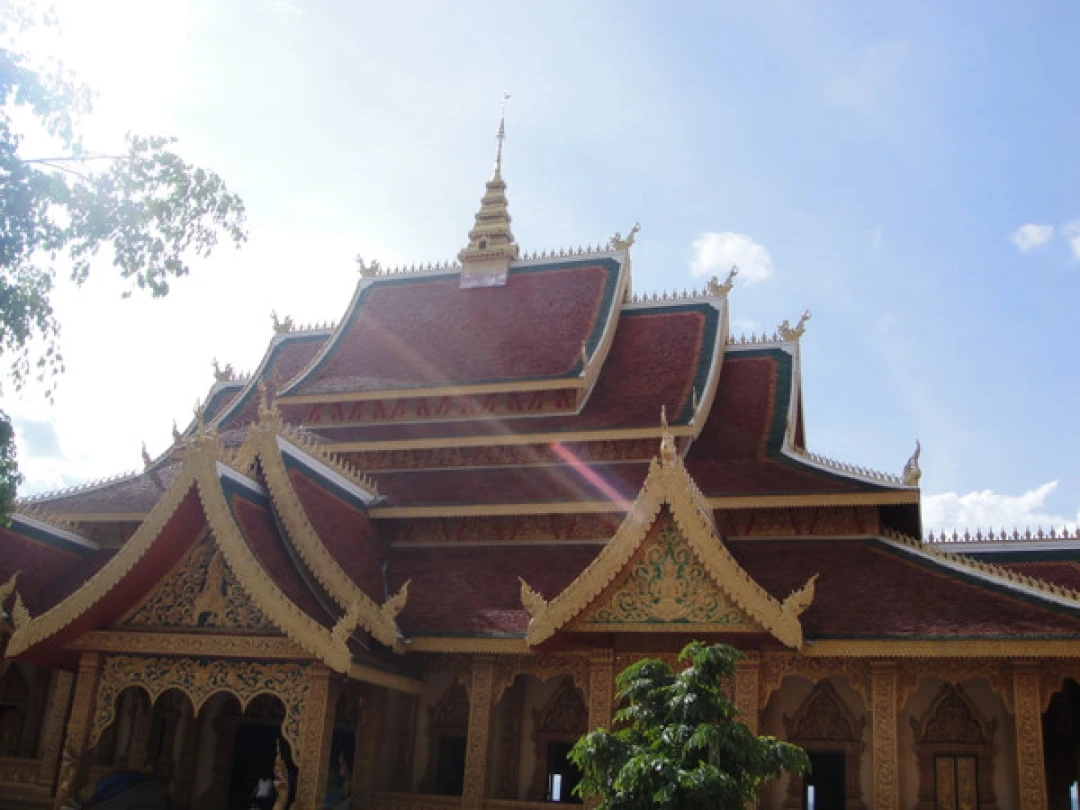
Xishuangbanna: Encountering an Ideal and Magical Paradise in the Green Wonderland at 21° North Latitude
Xishuangbanna: Encountering an Ideal and Magical Paradise in the Green Wonderland at 21° North Latitude If you ask me which place in China most resembles Southeast Asia, I would answer without hesitation: Xishuangbanna. This is not Thailand, yet it possesses an even richer Buddhist ambiance…
Continue reading...