Three Parallel Rivers: A Solitary Journey Through the Realm Where Gods and Humans Coexist
Three Parallel Rivers: A Solitary Journey Through the Realm Where Gods and Humans Coexist
Preface: When Solitude Becomes a Luxury
The May breeze carried the gentle warmth of early summer. With my child away at a competition, I unexpectedly gained a rare stretch of time to myself. Five days—for a middle-aged person constantly entangled in the mundane routines of life—felt like a gift from heaven. Like a child unwrapping a piece of candy, I carefully unfolded my map, my eyes wandering between Tibet, Sacred Mountain Sapu, Yadong County, and the Bingchacha Route—each route seemed to beckon me, every place name read like an unfinished poem.
But time, after all, is stingy. Five days—neither long nor short—couldn't accommodate too much greed. After much deliberation, I finally fixed my gaze on a route I had long dreamed of: the Degong Highway and the Dulong River. I had traveled fragments of this route before—from Yading to Deqin, unaware of the Degong Highway's existence, I ended up circling back to Shangri-La; from Mangshi to Lushui, passing through Laomudeng and Zhiziluo, I had been there too, yet I could never piece together the complete puzzle. This time, I was determined to take in every frame of the magnificent "Three Parallel Rivers" panorama.
My Route: A Carefully Planned "Trip Down Memory Lane"
This year's May Day airfare was ridiculously expensive. I stared at my phone screen every day, hoping for a flash of discounted prices, but it never came. Eventually, I threw aside the hassle of flight tickets and set off on my self-designed route: Shangri-La—Deqin—Weixi Tongle—Bingzhongluo—Wuli—Dulong River—Mangshi.
This route felt like flipping through an old photo album. Roads I had traveled years ago, now retraced, each familiar scene greeted me like an old friend, carrying the warmth of time. Surprises came one after another—Tongle, Cizhong, Wuli, Dulong River—each name hid a secret realm, every view compelled me to press the shutter. Of course, regrets followed closely. Last time at Feilai Temple, I witnessed the "Golden Sun Illuminating the Snow Mountain" over Kawagebo, golden light spilling over the peaks—at that moment, I thought this was the norm. This time, thick fog blanketed everything, the snow-capped mountains hidden completely, as if the heavens were telling me: all beauty is a limited edition. And then there was Nanjiluo, a hiking trail I had stumbled upon, now temporarily closed for environmental protection—I could only imagine its beauty from behind a screen.
But isn't that what travel is all about? Surprises and regrets intertwined—that's its truest form. I was completely satisfied with this route.
DAY 1: Shangri-La to Deqin, The Warmth of Revisiting Old Ground
Songzanlin Monastery: The "Little Potala Palace" at Dawn
In the early morning of Shangri-La, the air still carried the crispness unique to the plateau. From the plane, I gazed down at the snow-capped mountains, like an ink wash painting unfolding beneath my feet. After landing, I headed straight for Songzanlin Monastery—this temple, known as the "Little Potala Palace of Yunnan's Tibetan Region," had long been on my wish list. I had visited the real Potala Palace countless times, but this was my first time at the "Little Potala."
The ticket wasn't cheap, but after exiting, I discovered there was a "ticket-skipping" route—though I wouldn't recommend trying it. Paying to see the scenery is only fair.
Songzanlin Monastery isn't particularly large overall, but it blends seamlessly with the surrounding residential houses. If you want to explore at a leisurely pace, it takes quite some time. The most beautiful view is from across the lake—standing on the opposite shore, watching the temple's golden roof and the distant snow-capped mountains reflect each other, at that moment, it indeed carried a hint of the Potala Palace's charm.
G214: That Stretch of Road in Memory
From Shangri-La to Deqin, I took G214 once again. I had traveled this road last time when going to Yading. Back then, without a rental car, I hitched a ride from Derong County to Benzilan, then transferred to Deqin. This time, revisiting old places—especially Benzilan—I found the spot where I had gotten off last time. Although much had changed, memories surged back like a tide, every frame as clear as yesterday.
The First Bend of the Jinsha River: Free Scenery
The First Bend of the Jinsha River used to require a ticket, but now it's free. The Feilai Temple viewing platform also dropped its entrance fee—it seems the management has finally stopped fussing over every little gain. Good.
Wunongding: Kawagebo Playing Hide-and-Seek
There are two spots to view Kawagebo: Feilai Temple and Wunongding. Unfortunately, both days were shrouded in mist, and the snow-capped mountain refused to show itself. Seeing the "Golden Sun Illuminating the Snow Mountain" last time, I thought it was the norm. Now I realize—that was "peaking at the very beginning." The Deqin county town in the gorge looked like a gem embedded among the mountains.
With time to spare, I went to Mingyong Glacier. Passing through the Nong Valley, memories instantly resurfaced—I had come out from here during my last trek through Yubeng. Back then, with a Taiwanese traveler and a Canadian, I visited the Ice Lake and the Sacred Waterfall, and saw the most beautiful Kawagebo. Those wonderful memories felt like just yesterday.
DAY 2: Tongle, Cizhong, Degong Highway—Surprises and Regrets Hand in Hand
Today's itinerary went through many revisions. Initially, I wanted to hike Nanjiluo, but it was closed. Then I planned to visit Mingyong Glacier and head to Bingzhongluo. In the end, I chose Tongle. On Baidu Maps, the status of the Degong Highway changed daily—one day showing it was closed, the next showing half the road was passable. For roads in Tibetan regions, asking locally is the most reliable approach.
Tongle: The "Layered Peaks" of the Lisu People
I waited at Feilai Temple all morning, but Kawagebo never appeared. I had to set off with regret.
After seeing the Renlongba Glacier, visiting Mingyong Glacier felt like doing first-grade math problems after finishing the college entrance exam—utterly dull. So I decisively chose Tongle. Tongle belongs to Weixi and was originally meant to be visited together with Nanjiluo. But since Nanjiluo was closed and it was still too early to head to Bingzhongluo, Tongle became the best choice.
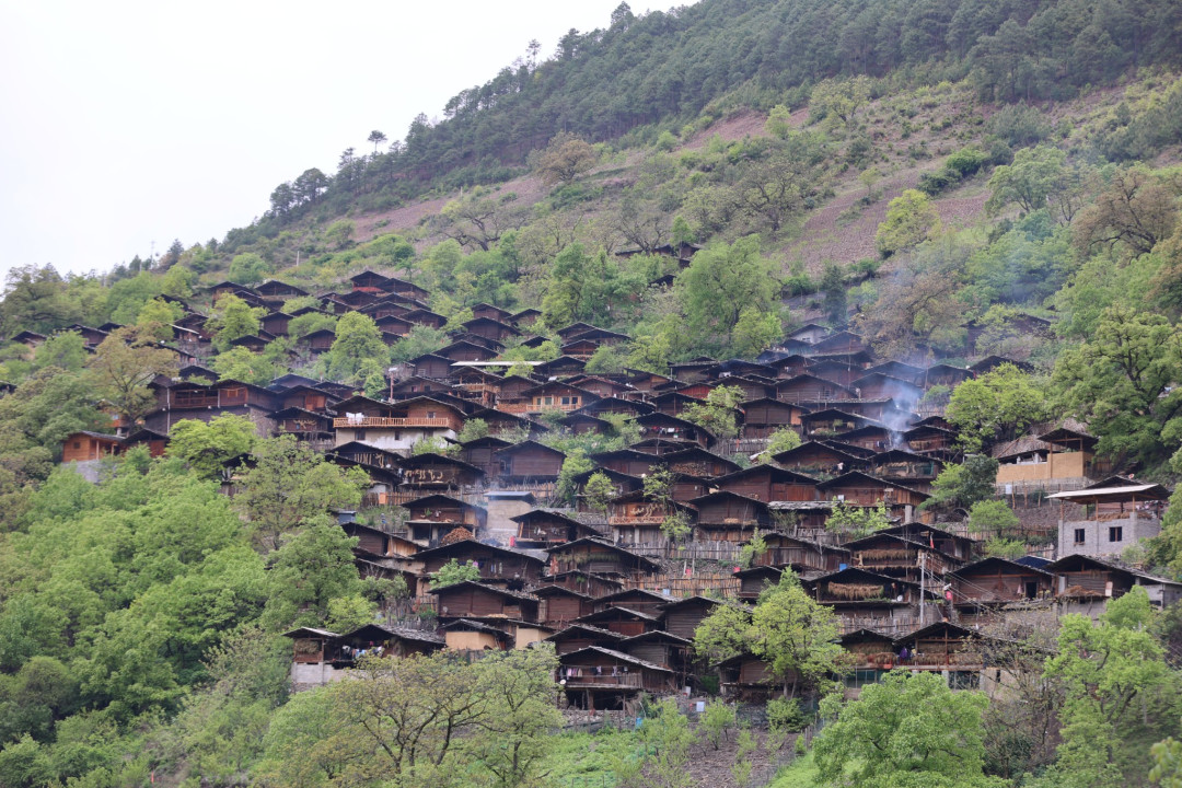
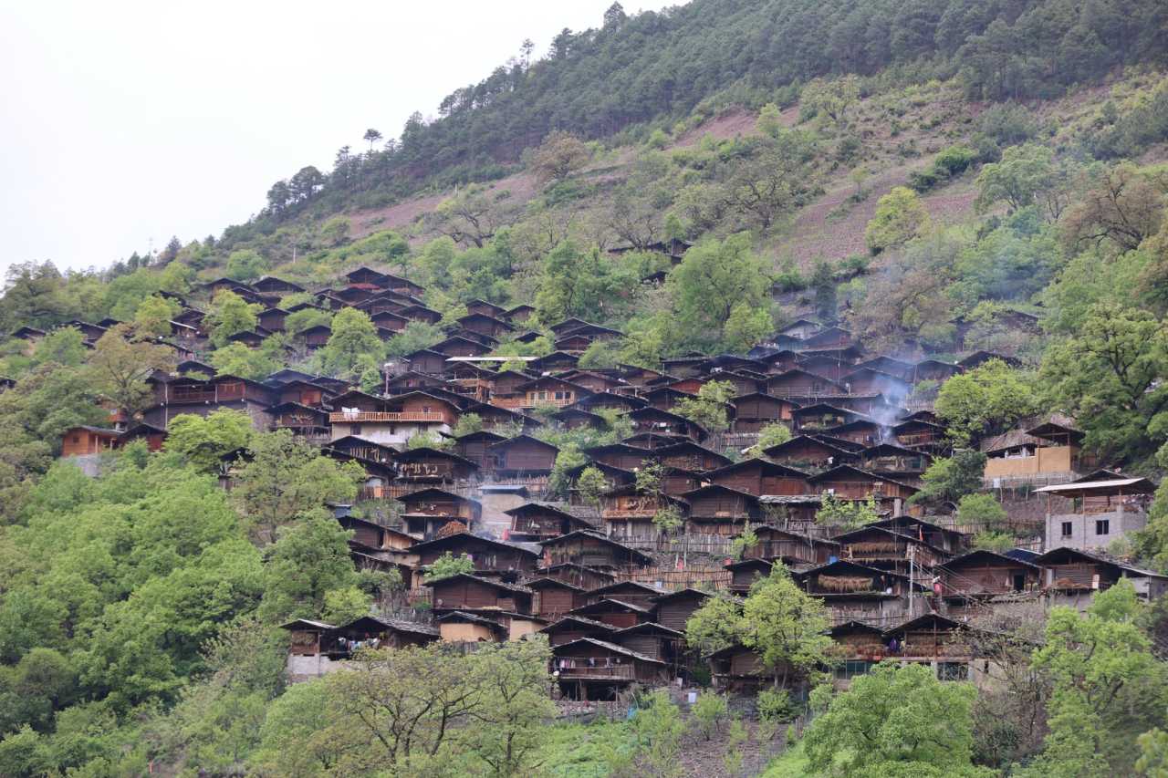
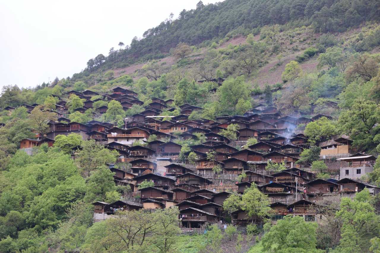
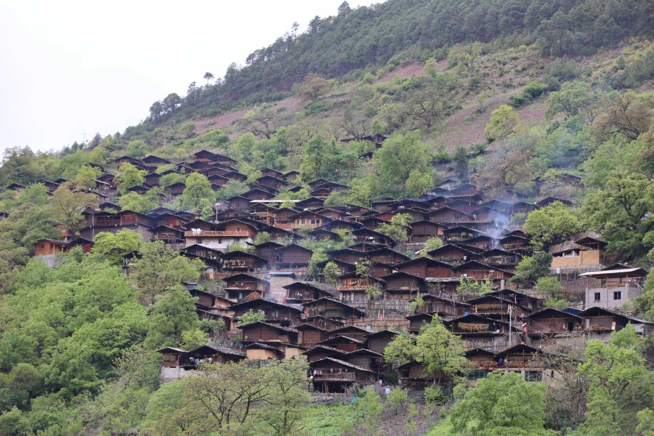
Tongle is a Lisu ethnic village. The village itself wasn't particularly special, but when viewed from the opposite hillside, the buildings were arranged in a layered, cascading pattern, with cooking smoke rising gently—like a living landscape painting.
Cizhong: Church, Wine, and a Piece of History
Cizhong lies on the road from Tongle to the Degong Highway. I only planned to see the church, but it turned out to be the first surprise of the trip.
While taking photos in front of the church, a local woman called out to me, insisting on showing me some history. My guard was up, but at that moment, I instinctively trusted her. She ran a guesthouse behind the Cizhong Church, which had a cellar that showcased the history of Cizhong over the past 40 years—also serving as a wine cellar for storing wine. Whether the wine was authentic or not, the history certainly was.
The owner was very warm, showing me around the guesthouse, the wine cellar, the grapevines, and chatting at length. We hit it off. She also mentioned the hinterland of Baima Snow Mountain, saying it was even more beautiful than Nanjiluo. Next time I get the chance, I'll definitely stay a night and let her show me what "Shangri-La" truly means.
Leaving Cizhong, I came upon the surging Lancang River. At this point, two of the three parallel rivers—the Jinsha River and the Lancang River—had been fully captured.
Degong Highway: A Belief, A Dream Fulfilled
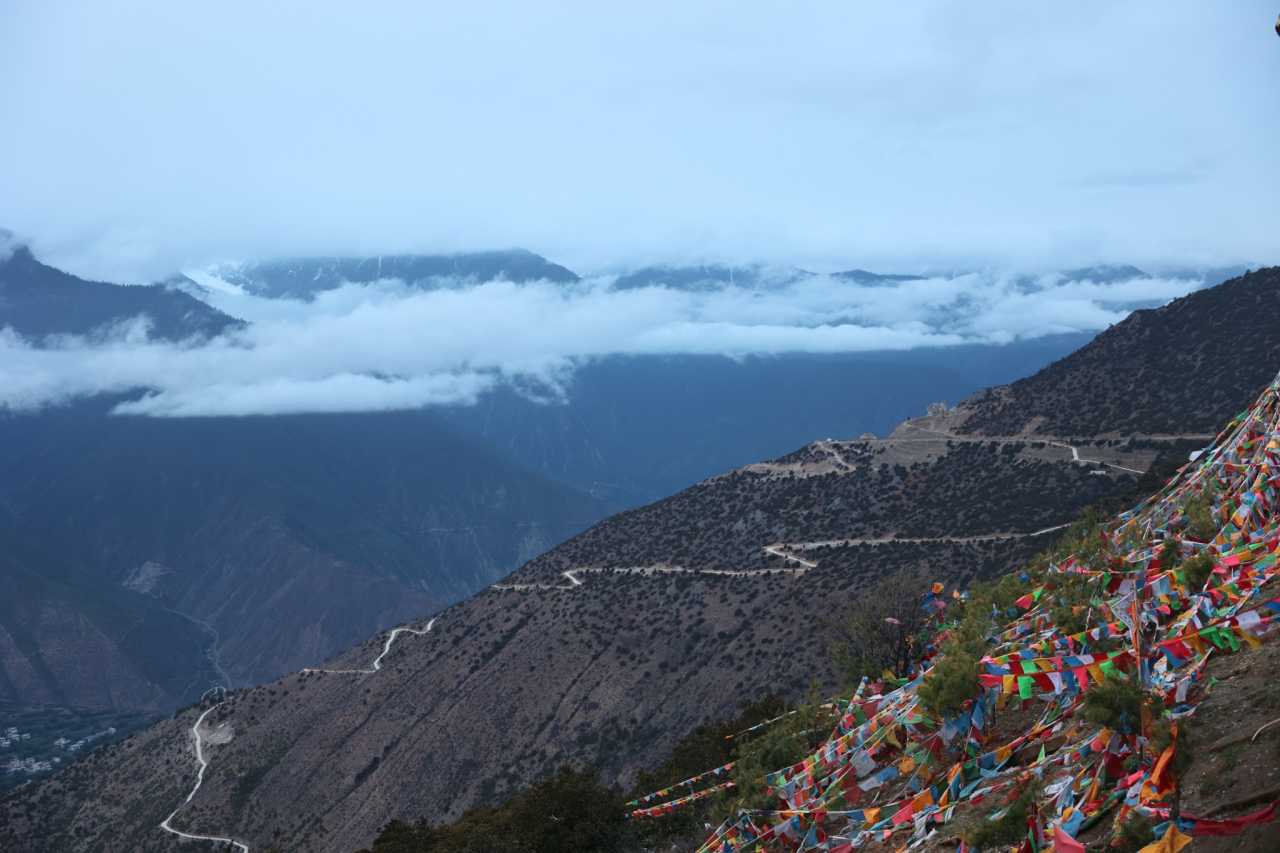
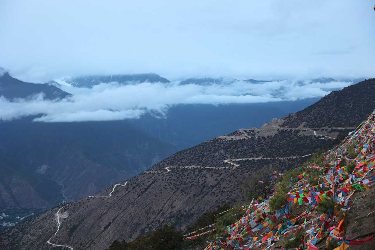
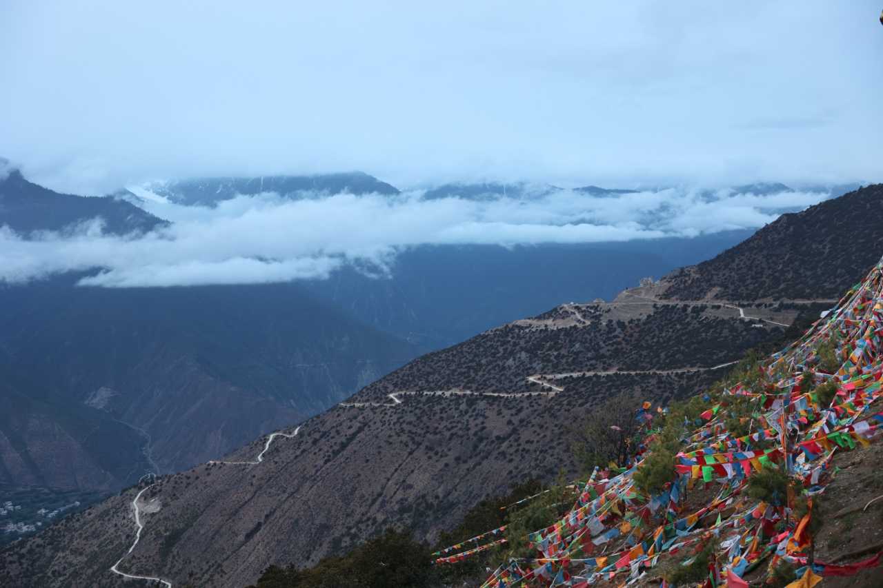
Traveling the Degong Highway feels like an act of faith. Just like National Highway 318, 219, and the Bingchacha Route—the road is rough, but the scenery is stunning. After asking locals in the morning and confirming it was passable, I was overjoyed. This time, I finally fulfilled a dream, making up for the regret of last time.
The Degong Highway was indeed rough, but not as unbearable as I had imagined. The road signs read "318," though it's a provincial road in Yunnan. But compared to the famous National Highway 318, it's in no way inferior—especially after I drove the Gongdu Highway, I became even more convinced of this.
Along the way, there were many nameless snow-capped mountains. The Peacock Mountain Pass was congested that day, so I couldn't make it up. If I had reached the pass, the views would have been even more spectacular.
Qiunatong: Between Truth and Fiction
Driving from the Degong Highway, the road was indeed difficult, but the scenery was breathtaking. I drove and stopped to take photos, taking over three hours to reach Gongshan. From Gongshan to Bingzhongluo, I still had time, so I went straight to Qiunatong.
Qiunatong is the last village in Yunnan; beyond it lies Tibet. This is where the famous Yunnan-Tibet boundary marker stands, the starting point of the Bingchacha Route. Online sources said that construction on the Bingchacha Route started last year and it was closed, so I hadn't considered it when planning my route. But upon arrival, I learned that the closure was only from Monday to Friday; it was open on weekends. If I had known, I would have definitely taken the Bingchacha Route—I missed an opportunity because of inaccurate online information. So, it's always best to verify information on the ground, especially in Tibetan regions—seeing is believing.
After checking in at the Yunnan-Tibet boundary marker, I planned to visit Qiunatong—a village touted as even more beautiful than Bingzhongluo. But you must find the real Qiunatong. Navigation apps will only take you to a new Qiunatong village by the roadside; the real Qiunatong is up the mountain, right next to the checkpoint. Don't make a mistake.
Wuli: The Footnote to "Where Gods and Humans Coexist"

People say Bingzhongluo is where gods and humans coexist. In fact, Bingzhongluo is a town; the real beauty lies in the villages below. The most famous ones are Qiunatong and Wuli. After returning from Qiunatong, I stopped at the Wuli viewing platform by the roadside—it was indeed beautiful.
When I visited during May Day, the colors were still somewhat monotonous, only green. If you go in autumn, it should be stunning.
DAY 3: Deep in Bingzhongluo, Wuli and Zhalatong
Waking up in the morning, I struggled for a long time: should I continue exploring deeper into Bingzhongluo, or cross the Yunnan-Tibet boundary to Jiaying Village to see Meili Snow Mountain? Today was Saturday, so I could enter Tibet. I went to Wuli Village first; by the time I came out, it was past 9 a.m., and the traffic heading into Tibet was horribly congested. When I reached the checkpoint, I thought it over and decided against it—I'll save it for next time.
Wuli Village: Where Gods and Humans Truly Coexist
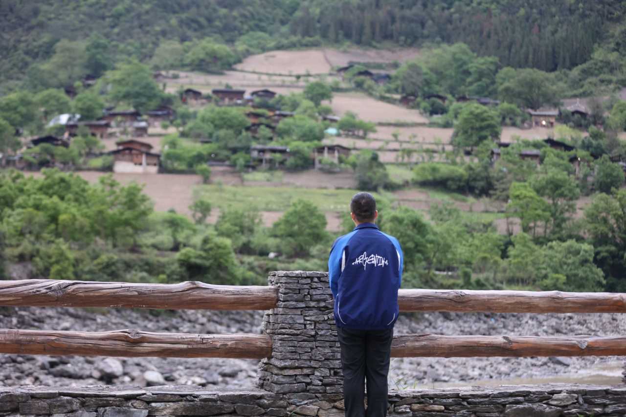
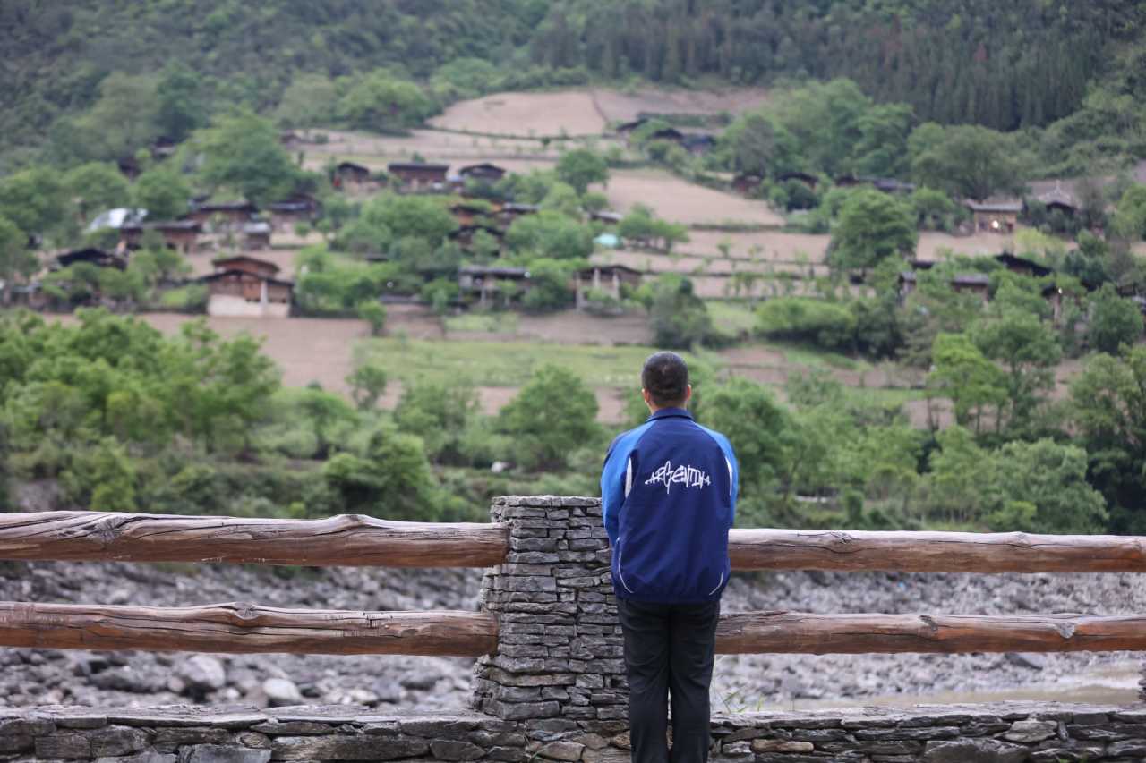
Wuli Village isn't large, but it's backed by a mountain, facing snow-capped peaks, with the Nujiang River flowing past it. Just imagining it is beautiful.
There weren't many people in Wuli that day—most had probably gone to work in Bingzhongluo. In my opinion, the best place to view Wuli is from the viewing platform across the Nujiang River—the entire village unfolds before your eyes, truly beautiful.
Zhalatong: Hiking Until You Question Life
Zhalatong, also known as Peach Blossom Island, is directly opposite Bingzhongluo. I visited at the wrong time, so the colors were a bit dull. Everyone was busy farming; tourism hadn't brought too much change.
There's not much specific to say about Zhalatong, but one thing must be mentioned: the viewing platform. Behind Zhalatong, there's a mountain trail that offers a panoramic view of Bingzhongluo—an unbeatable angle. But the hike is incredibly exhausting. It was marked as a 45-minute climb, but I estimated it took at least an hour and 20 minutes, with an elevation gain of over 400 meters—especially frustrating in the muggy heat.
After over an hour of hiking, I finally reached the viewing platform. The view here truly lived up to the saying: "It was worth it." I even left a mark with charcoal—completely organic. At the viewing platform, my only thought was: "I'll take enough photos first, then think about everything else."
Puhua Temple and Zhongding Church
Puhua Temple is near Bingzhongluo, making it a perfect stop to explore on the side. It embodies all the characteristics of Tibetan Buddhism. Zhongding is also near Bingzhongluo. Compared to Cizhong, there were noticeably more people here—a fairly standard Catholic church, nothing particularly remarkable.
Bingzhongluo Viewing Platform and the Nujiang River Great Bend
On the way to Gongshan, I visited the popular Bingzhongluo viewing platform. From here, you can see two directions: a side view of Bingzhongluo town and Zhalatong—it was indeed beautiful.
Then, I saw the Nujiang River Great Bend. At this point, I had seen the great bends of all three rivers—the Jinsha, Lancang, and Nujiang—truly awe-inspiring. Once again, I marveled at the vastness of our motherland, with all kinds of terrain and landforms gathered in one place.
DAY 4: The Secret Realm of the Dulong River
Gongdu Highway: A Rival to the Degong Highway
I had known about the Dulong River for a long time. The Gongdu Highway is also notoriously difficult to traverse—without the Dulong River Tunnel, it would still be closed for half the year and open for the other half. This time, I spent a long time checking the route. Maps showed it was closed, but after calling the Gongshan Transportation Bureau, I finally got a definitive answer: it was passable.
The Gongdu Highway is on par with the Degong Highway. The entire road was plagued by landslides, but the scenery was stunning. After exiting the Dulong River Tunnel, there was a long stretch with no signal, but luckily, there was only one direction to go—just keep driving.
Pukawang: Water as Green as Jiuzhaigou
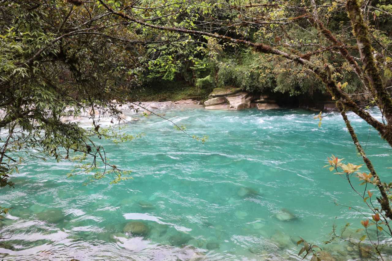
Pukawang is a village very close to Dulong River Township. The first time I saw the water of the Dulong River, I was stunned—the last time I saw water like this was at Jiuzhaigou. The color of the water here rivals Jiuzhaigou's. This is the reason for the "Secret Realm of the Dulong River."
Maku and the China-Myanmar Boundary Marker No. 41
Maku is the village closest to Myanmar. It didn't seem far from Pukawang on the map, but the road was terrible—very long, with many sections allowing only one-way traffic. After an arduous journey, I reached the China-Myanmar Boundary Marker No. 41. Here, the Dulong River flows directly into Myanmar—the phrase "a strip of water" became vividly real at this moment. The water here was even greener than at Pukawang.
Searching for the Tattooed Women: No Regrets on This Trip
Besides seeing the water and scenery, I had another purpose for coming to the Dulong River: to find the tattooed women. Online sources said there were very few tattooed people left, and aside from remote mountain villages, Longyuan Village might have some. After leaving Maku, I crossed Dulong Township and headed straight for Longyuan Village.
I searched Longyuan Village for a long time but couldn't find any tattooed people. I asked a local, who told me there were no more tattooed people in Longyuan. He said I could find them in the village below. Sure enough, the village below was called Dangnandang, very close to Longyuan. After asking around, I finally found her.
Seeing her in person was deeply moving. Even though we couldn't communicate through language, I could feel the weight of history and culture—this is the charm of China's excellent traditional culture. This trip had no regrets.
On the way back, the sun came out, casting light on the snow-capped mountains. Though not as stunning as Meili, it was still a sight of snow peaks. Traveling in Tibetan regions really depends on the weather—when the sun is out, everything looks its best.
Driving G219 Again
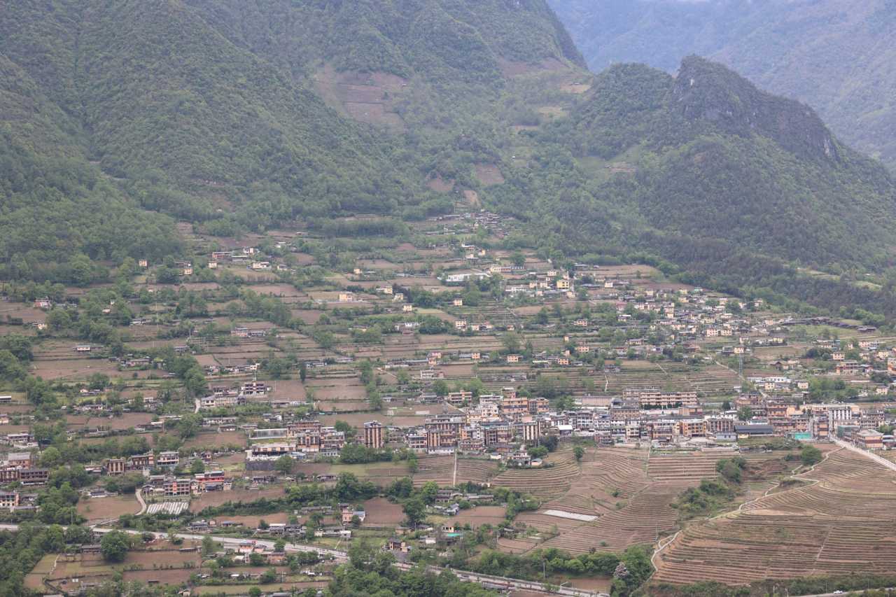
After leaving the Dulong River, I went directly to Fugong. Since I had to catch a flight back to Beijing from Mangshi on the last day, today's journey was a bit long, so I needed to cover more ground. Driving along G219, following the Nujiang River downstream, the scenery along the way was beautiful. Last time, I went from Lushui to Laomudeng and Zhiziluo, so this time I could take in the views between Fugong and Gongshan once more.
DAY 5: The Songshan Battlefield Site, The Warmth of History
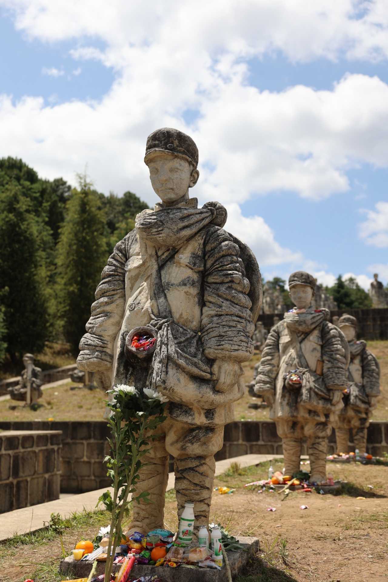
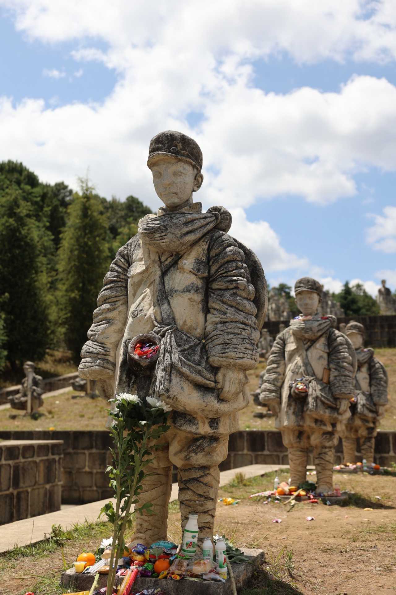
Today, I had only one thing to do: see the child soldiers.
The reason I chose to return to Beijing from Mangshi was essentially for one purpose—to see the child soldiers of the Songshan Battle. I had already visited the Nanyang Chinese Mechanics Memorial Hall in Wanding and the National Grave Cemetery in Tengchong. Seeing the child soldiers of the Songshan Battle would complete the circle.
After driving all morning, I finally arrived in Longling around noon. I didn't stop; I went straight to the Songshan Battlefield Site. Even though I was mentally prepared, seeing those statues in person was still deeply moving—especially the most famous statue of the child soldier.
The child soldier statue was just as described online—there were many candies placed around it, as if to say, "Eat more, so your heart won't feel so bitter." Listening to the commentary and watching cars with license plates from all over the country, having traveled thousands of miles just for a glimpse, I suddenly felt grateful for the strength of our nation—because of them, we have this prosperous era.
As I walked, learning about the battles against the Japanese invaders, my heart was filled with mixed emotions. History must not be forgotten.
A Second Look at the Mangshi Golden Pagoda
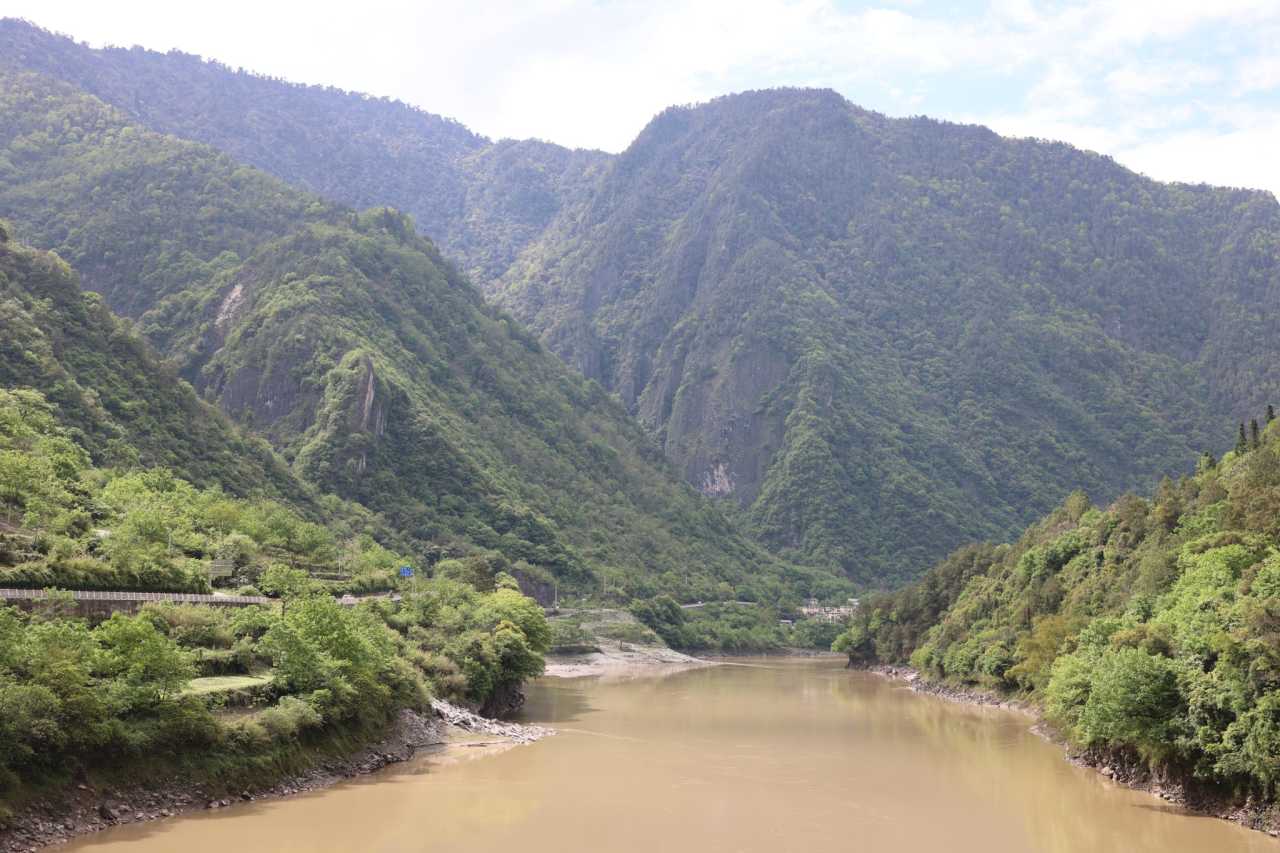
Since I was departing from Mangshi, and I had already visited all the attractions in Mangshi last time, there wasn't much left to see. So I went back to the Golden Pagoda to take in the view of the entire city.
The last time I came to the Golden Pagoda was during the pandemic, when there were hardly any visitors. Now, watching the crowds of people coming and going, it felt like a different world. Everything was exactly the same as five years ago—so familiar. The golden spire of the pagoda was still as breathtaking. Five years ago, at the same spot, I had a bowl of cold noodles and a glass of Paluda (a Burmese-style cold drink)—a perfect ending.
Key Takeaways: A Practical Guide for Future Travelers
About the Route: This loop itinerary, first, made up for the regrets of my previous two trips, and second, allowed me to travel the long-cherished Degong Highway, see the "realm where gods and humans coexist" in Bingzhongluo, and explore the secret realm of the Dulong River—absolutely worth it. If you don't want to take the Degong Highway, going from Feilai Temple to Weixi and hiking Nanjiluo is also a great option—Weixi has many places worth exploring.
About the People: Along the way, except for larger places like Feilai Temple, the people were incredibly warm and honest. There were many kind souls—like the woman in Cizhong who shared the history, and the driver in Dulong River who gave me directions. I was filled with gratitude.
About Patriotic Education: Unintentionally, patriotic education has become a part of my travels. Due to my work, I've had a lot of exposure to the stories of the Expeditionary Force and the Nanyang Chinese Mechanics. Visiting the child soldiers this time was truly moving—on par with the helmet memorial at the National Grave Cemetery. It's worth a visit.
About Must-Visit Places: Tongle, Degong Highway, Gongdu Highway, Wuli, Bingzhongluo, Dulong River, Songshan Battlefield Site—you absolutely must visit these places. From scenery to ideology, it's a comprehensive cleansing.
So don't hesitate. Book your tickets. Just go.
You should also read:
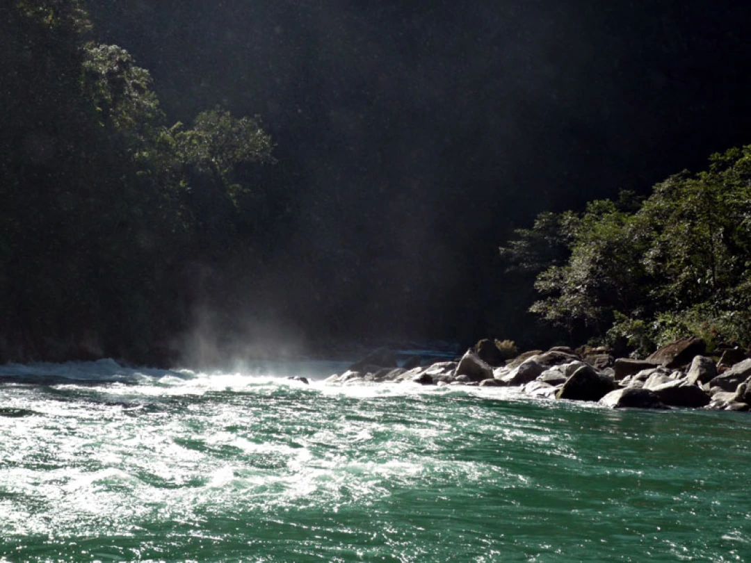
Into the Hidden Valley: A Solo Journey Through the Mysterious Dulong River
Into the Hidden Valley: A Solo Journey Through the Mysterious Dulong River Deep in the northwestern corner of Yunnan Province, tucked away from the modern world, lies a place that feels like a secret whispered among mountains. The Dulong River Valley is not just a…
Continue reading...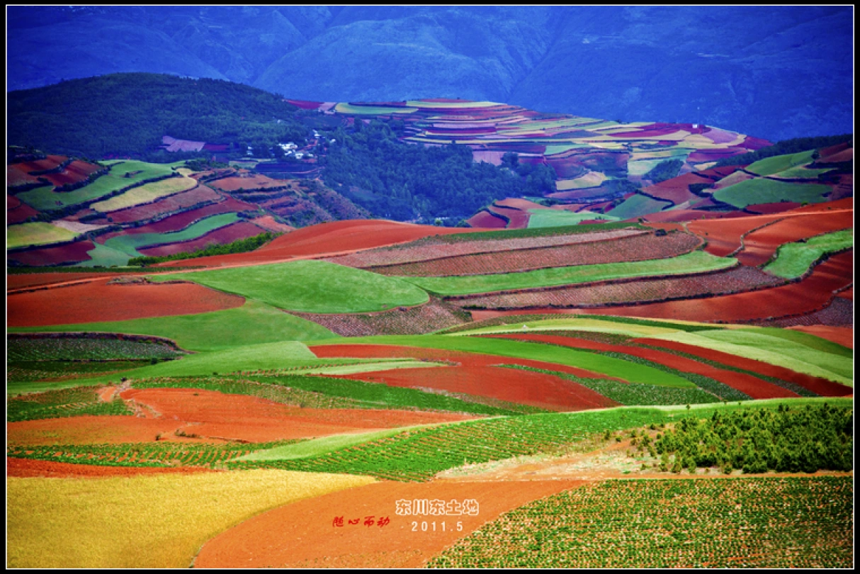
God’s Abandoned Palette: A Self-Drive Journey Through Yunnan’s Dongchuan Red Land
God’s Abandoned Palette: A Self-Drive Journey Through Yunnan’s Dongchuan Red Land Travel has never been about reaching some distant geographic coordinate. It’s about encountering, along the way, the version of yourself buried beneath the rubble of daily routine. During this May Day holiday, I finally…
Continue reading...
Body in Hell, Heart in Heaven: A Pilgrimage Through Tiger Leaping Gorge — A Dialogue Between Heaven and Earth
Body in Hell, Heart in Heaven: A Pilgrimage Through Tiger Leaping Gorge — A Dialogue Between Heaven and Earth Introduction: When the Gorge Splits Open Beneath Your Feet Some say Tiger Leaping Gorge is the closest place on Earth to the border between "hell" and…
Continue reading...