Autumn and Winter in Northwest Yunnan: A Photographer’s Dream – An 11-Day Journey Through Tengchong, the Nujiang River, Shangri-La, Meili Snow Mountain, Lijiang, and Wuliangshan
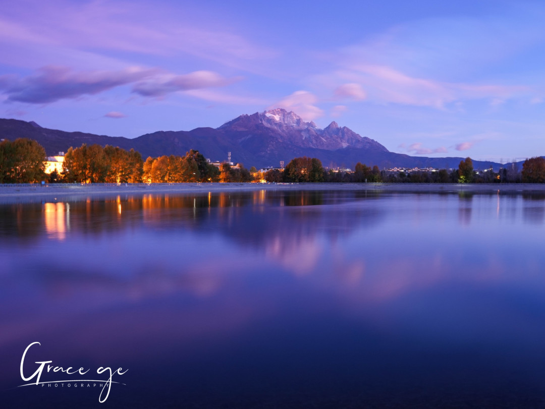
Autumn and Winter in Northwest Yunnan: A Photographer’s Dream – An 11-Day Journey Through Tengchong, the Nujiang River, Shangri-La, Meili Snow Mountain, Lijiang, and Wuliangshan
If you ask me which part of China can let you embrace golden ginkgo trees, jade-green rivers, towering snow-capped peaks, and pink winter cherry blossoms all within eleven days, I would answer without hesitation: Northwest Yunnan. This land, sculpted by the Himalayan orogeny over 30 million years, unfolds a magnificent canvas for photographers. In late November 2023, I set foot in Yunnan for the third time, traveling solo with a photography group, and captured this “season-limited” visual feast through my lens.
A Gift of Geology: The Visual Code of the Hengduan Mountains
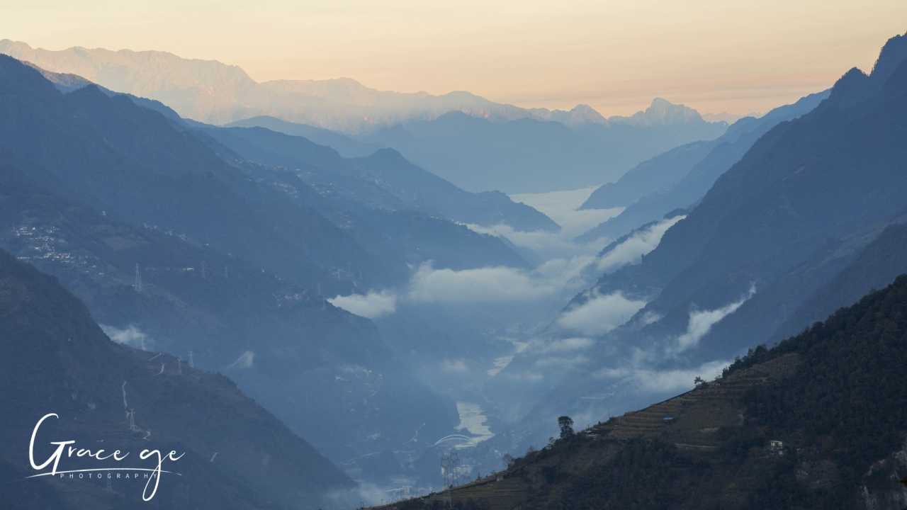
“Rise a zhang each day, Yunnan touches the sky.” This old saying hints at the violent collision between the Indian subcontinent and the Eurasian plate 30 million years ago. As the Himalayas rose, the land to the southeast rotated clockwise, compressing the mountains of northwest Yunnan into a bundle of arcs—the Hengduan Mountains. The Yunling, Nushan, and Gaoligong ranges stretch like giant fingers side by side, while the Jinsha, Lancang, Nujiang, and Dulong rivers roar through deep gorges. This land splits Yunnan in two: the east is the Yunnan-Guizhou Plateau, dotted with lakes; the west is a region of longitudinal valleys, with steep mountains and deep ravines. My lens was aimed at the autumn and winter secrets of this valley region.
Itinerary Overview: An 11-Day Light and Shadow Route
Traveling alone, I chose a well-established photography group itinerary (November 26 to December 6, 2023):
- Day 1: Arrive in Dali
- Day 2: Dali → Tengchong (Longjiang Bridge, Ginkgo Village)
- Day 3: Tengchong → Liuku → Laomudeng (Ginkgo Village dawn, Nujiang zip-line, Tiger Leap)
- Day 4: Laomudeng → Zhiziluo → Gongshan (Crown Peak sunrise, Abandoned City Zhiziluo)
- Day 5: Gongshan → Dulong River (Stone Moon, Lisu culture, tattooed women)
- Day 6: Dulong River → Bingzhongluo (Pukawang, First Bend of the Nujiang, Wuli Village)
- Day 7: Bingzhongluo → Feilaishi (First Bend of the Nujiang dawn, Meili Snow Mountain)
- Day 8: Feilaishi → Shangri-La (Meili sunrise, Napahai Lake, Dukezong Old Town)
- Day 9: Shangri-La → Lijiang (Songzanlin Monastery, Tiger Leaping Gorge)
- Day 10: Lijiang → Wuliangshan (Jade Dragon Snow Mountain sunrise, Yi culture, winter cherry blossoms)
- Day 11: Wuliangshan → Dali (Cherry Blossom Valley sunrise, departure)
Tengchong: The Golden Hour of Ginkgo Village
Longjiang Bridge: A Steel Rainbow Across the Hengduan Mountains
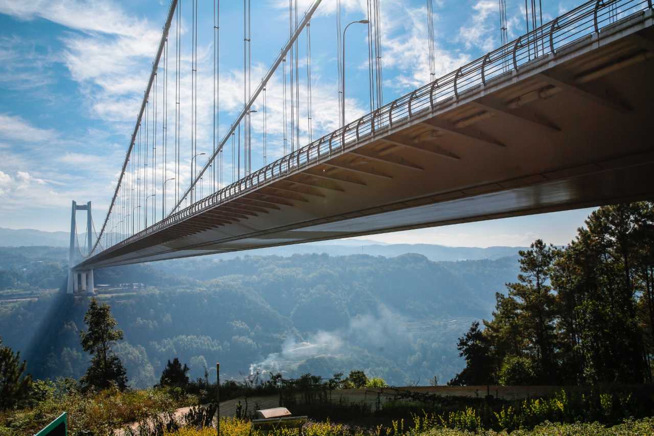
Heading west from Dali, the S10 Baoshan-Tengchong Expressway was packed with cars heading to Ginkgo Village. Our first stop was the Longjiang Bridge—a suspension bridge spanning the southern section of the Hengduan Mountains. At over two kilometers long, costing 1.8 billion yuan (about $250 million), and taking five years to build, it is the largest steel-box-girder suspension bridge in Asia’s mountainous regions. A small path connects both sides below the bridge, allowing pedestrians to feel its grandeur up close. We had lunch at a service area and took photos of this steel giant.
Ginkgo Village: When Morning Mist Meets Gold
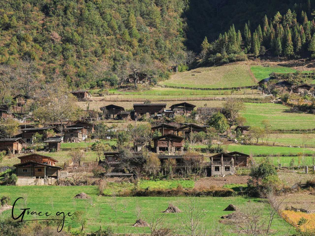
We arrived at Ginkgo Village in Gudian Town in the afternoon. Over 40,000 ginkgo trees are scattered across fields, by houses, and along paths. In late November, they are a sea of gold. “The village is in the forest, and the forest is in the village.” Old rustic houses mingle with new farm buildings, with curling smoke, bamboo fences, stone walls, and corn hanging from railings—everywhere you look, it’s pastoral charm. Local guesthouse owners simmer chicken soup in clay pots, and the rising steam gives shape to the light.
Photography Tip: The main square is crowded with tourists during peak season. Walk deeper into the village to enjoy peaceful ginkgo scenery. I happened to meet a nearly 100-year-old grandmother with bound feet—I wished her a long and happy life.
On the morning of the third day, I encountered a stunning advection fog. The brilliant dawn colors faded quickly, and a model in traditional costume stood beneath a ginkgo tree. From the Ming Dynasty’s Hongwu to Zhengtong periods (1368–1449), the ancestors of the four major surnames—Chen, Huang, Yang, and Zhang—were garrisoned in Tengchong from Sichuan, Hunan, and Jiangxi. They discovered the area’s thriving ginkgo trees and settled there, and Central Plains culture took root among the golden leaves.
The Nujiang Grand Canyon: A Poetic Tapestry of Light and Shadow in the Deep Valleys
Pearls Along the “Beautiful Road”
Heading north from Liuku, we switched to seven-seat vans and drove along the Nujiang section of National Highway 219, known as the “Beautiful Road.” This 288.68-kilometer route from Liuku to Bingzhongluo takes just 5–6 hours, running parallel to the Nujiang River. Since its completion in 2020, travel from Yunnan into Tibet has become much easier.
Scattered along the way are many “worth-a-look” sights:
Nujiang Zip-Line: This ancient way of crossing the river is now a tourist attraction. The steel cable slopes downward, and gravity sends you zipping to the opposite bank. Use high-speed burst mode for photos, and be careful to avoid cluttered backgrounds.
Weilaba “Great Man Peak”: A mountain ridge that strikingly resembles the profile of a great leader.
Tiger Leap: The Nujiang suddenly narrows here, with a massive boulder in midstream, creating rapid currents. The name echoes the famous Tiger Leaping Gorge, with a playful sense of masculine and feminine duality.
Stone Moon: A marble dissolution arch at the top of the Gaoligong Mountains, shaped like a full moon. The Lisu people call it “Yahaba,” an important totem. This site was once a crossing point for returning Chinese Expeditionary Force soldiers—in 1942, over 100,000 troops went to Burma, and of the 20,000 in the 5th Army who retreated through the “Wild Man Valley,” only about 2,000 survived. A tragic history.
Laomudeng: A Canyon Dawn Under Crown Peak
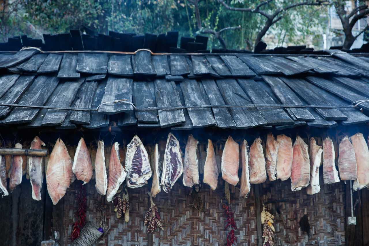
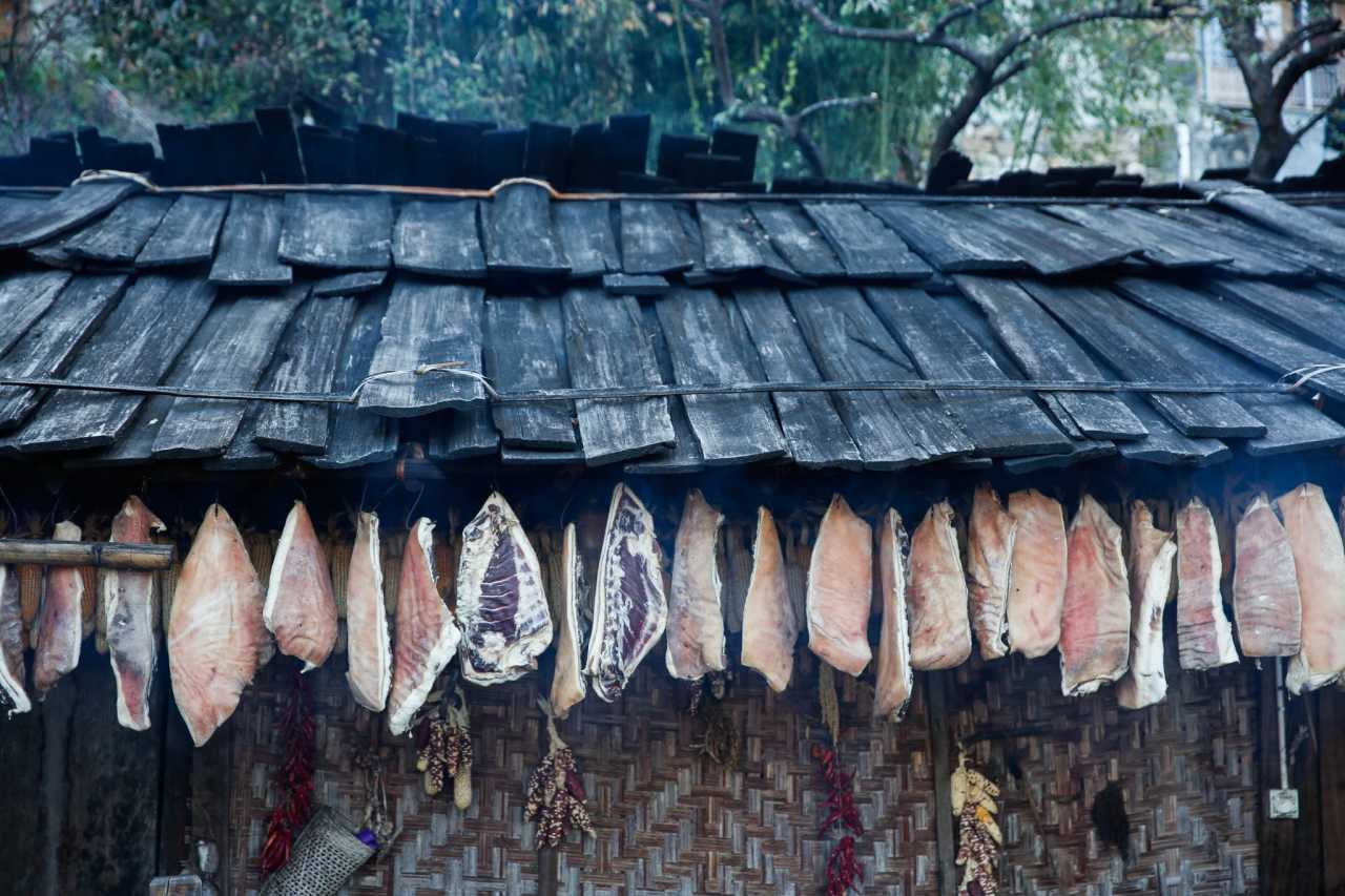
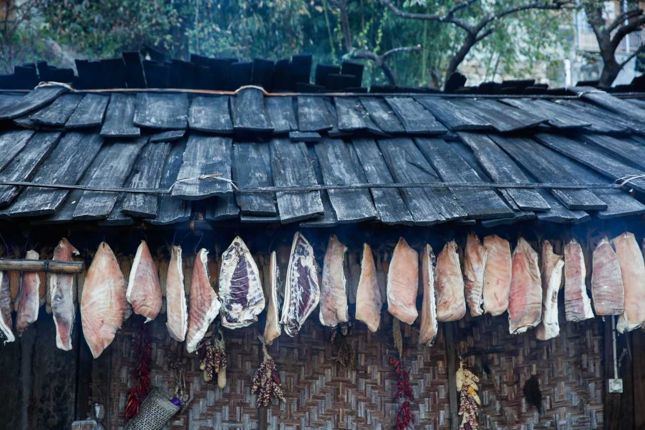
At an altitude of 1,800 meters, Laomudeng is a Nu ethnic village perched on the slopes of the Biluo Snow Mountains, offering a panoramic view of the Nujiang Grand Canyon. After enjoying a Nu-style hand-grabbed feast (烤乳猪 roasted suckling pig, 腊肉 cured pork, 烤鸡 grilled chicken, all laid out on a bamboo platter—you eat with gloved hands) and watching a folk performance, we waited for the next day’s sunrise.

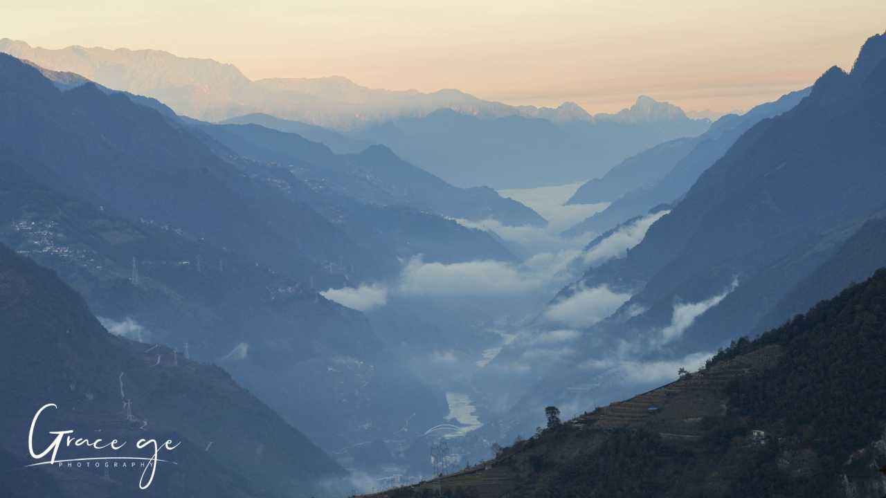
At dawn, the moon still hung high. The first rays of sunlight touched Crown Peak on the top of the Gaoligong Mountains—orange light, gray-blue sky, deep valley bottom, and rising mist—everything was quiet and beautiful. Crown Peak, at 2,900 meters, creates a staggering vertical drop relative to the Nujiang River. Zigzag mountain roads lead to scattered villages.
Photography Tip: The best shooting spot is by a pond, where you can capture the reflection of the church and Crown Peak together. If conditions allow, try shooting the church under the stars.
The Laomudeng Christian Church is another highlight. With red-painted wooden windows, a tin roof, blue brick walls, and a red cross, it looks simple. But the villagers sing hymns in the Lisu language—the Lisu script originated from Bible translation. If you happen to visit on a Sunday, don’t miss this heavenly sound echoing through the canyon.
Zhiziluo: A Frozen City of Memory
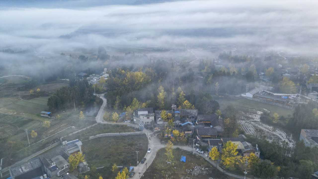
A 4-kilometer drive brings you to the “City of Memory,” Zhiziluo. It once served as the capital of the Nujiang Prefecture and the seat of Bijiang County. In 1974, the prefectural capital moved to Liuku; in 1986, Bijiang County was dissolved. Landslides never occurred as feared, but time seems frozen in 1986. The iconic octagonal building (Bijiang County Library) was built that year but never used before the county was abolished. Mao Zedong quotations, giant portraits of leaders, and abandoned classrooms instantly transport you back in time. In one old classroom, people from four ethnic groups (Lisu, Nu, Han, and Bai) sat around a fire chatting, with sunlight streaming through window lattices—a perfect play of light and shadow.
The Dulong River: A Jade-Green Hidden Gem
The 90-kilometer drive from Gongshan to the Dulong River is full of dizzying curves—motion sickness medicine is a must. The Dulong River originates in Tibet’s Zayu County, rushing between the Gaoligong and Danglica mountains. Its water is as clear as jade. Kongdang is the township seat, with all buildings painted a uniform yellow. The government’s poverty alleviation efforts here are comprehensive: distributing cardamom seedlings, developing solar power, and relocating mountain communities.
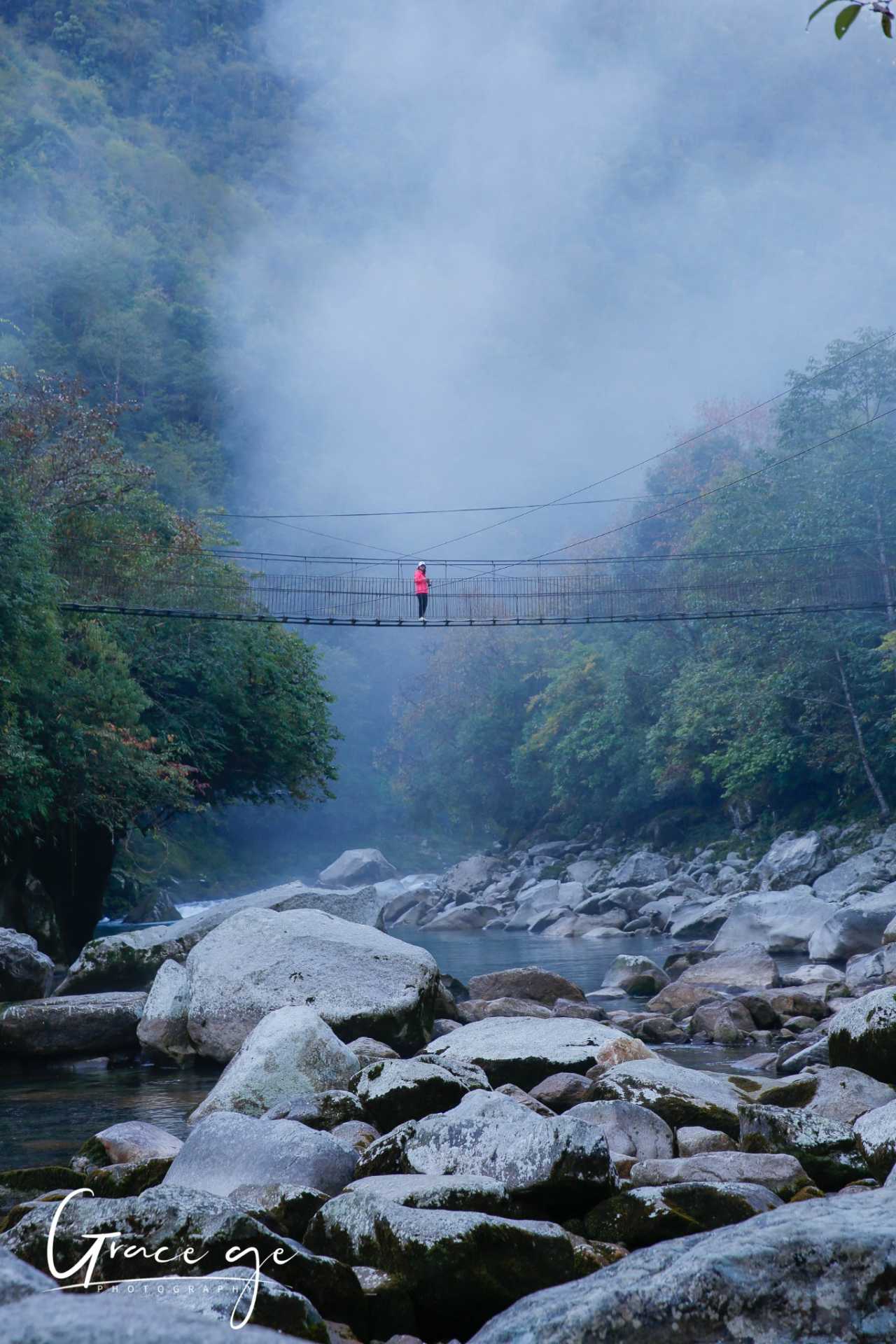
Pukawang: Six kilometers from Kongdang, the Dulong people call a river “wang.” Meltwater from snowy peaks flows in, crystal clear and cool, with a blue-green hue like fine jade. In the early morning, mist drifts, the suspension bridge sways, and the air is crisp and rich with negative ions. From a drone’s perspective, the riverbed stones are clearly visible. When sunlight breaks through and the thick fog dissipates, the valley awakens—a paradise of blue-green, a true earthly wonder.
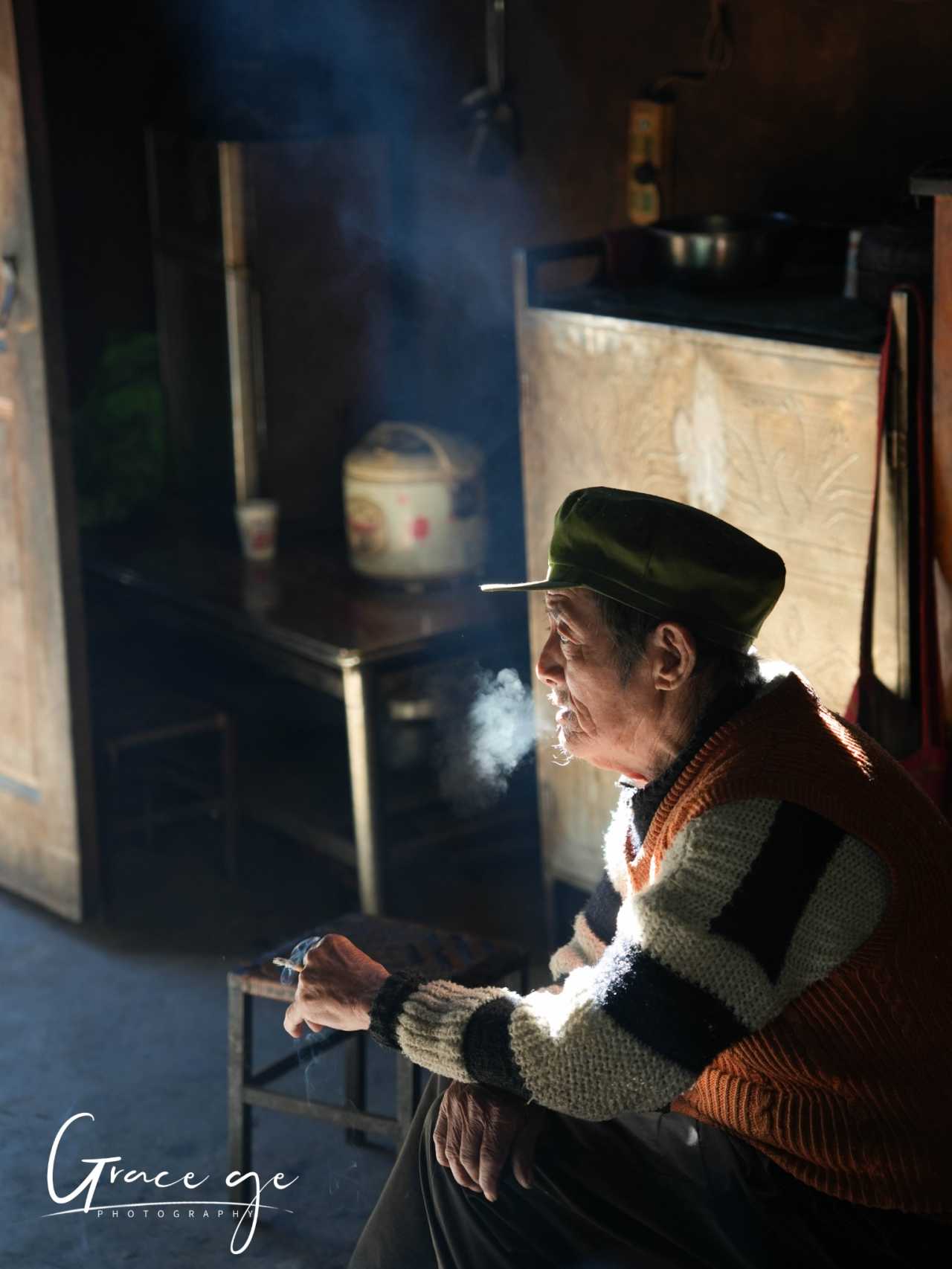
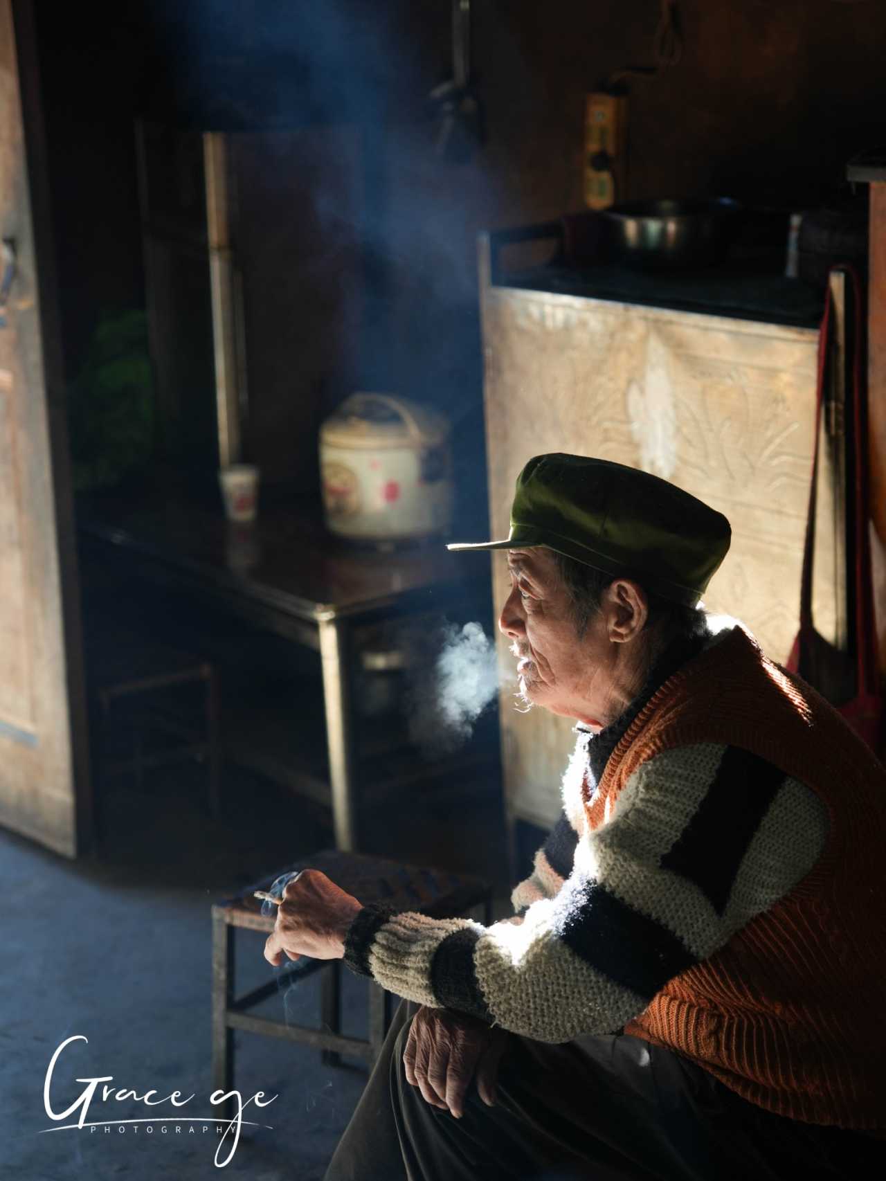
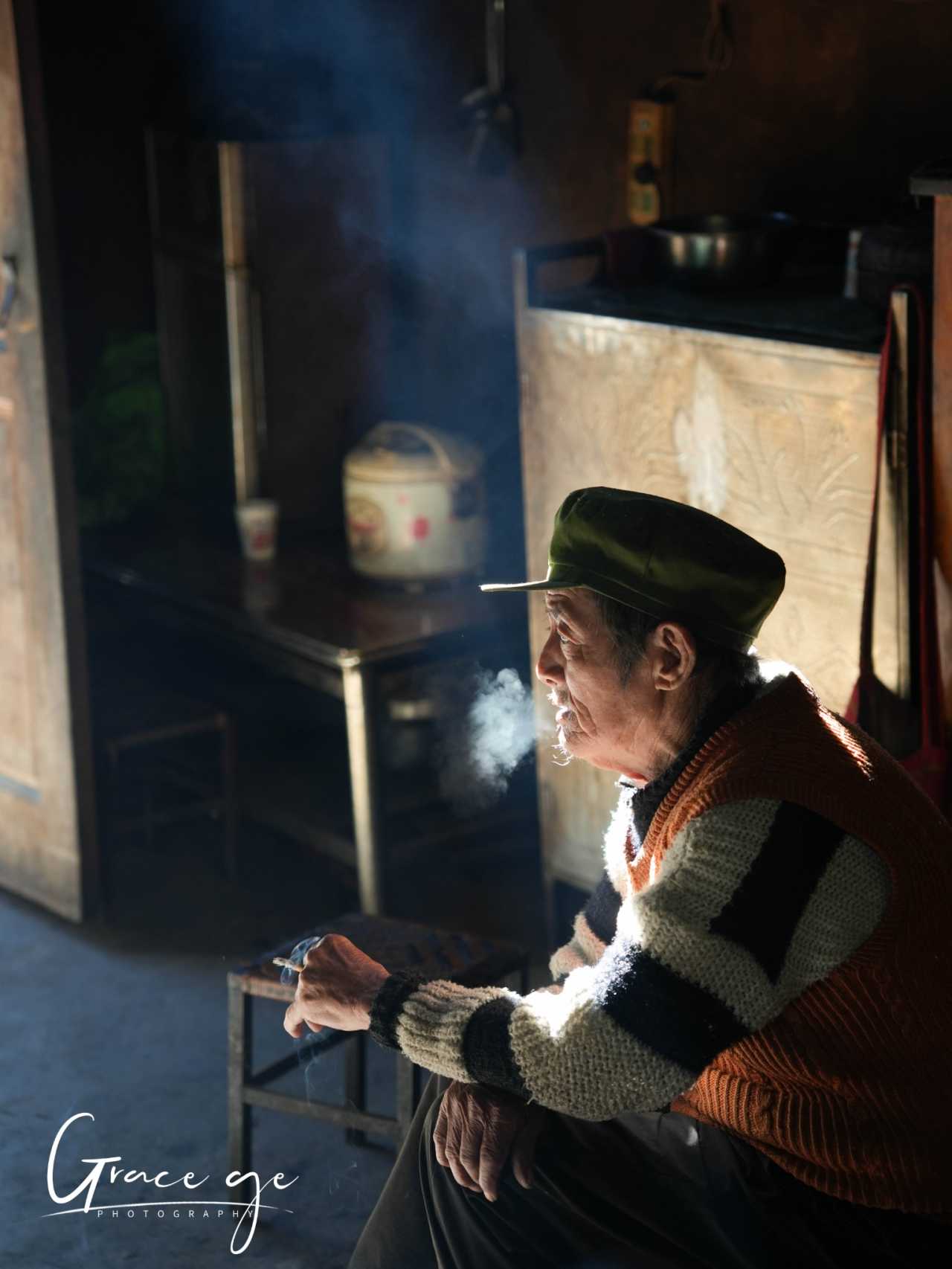
The Last Tattooed Women: The Dulong people number only about 7,000, the smallest ethnic group in Yunnan. Traditionally, women had facial tattoos, with theories ranging from making themselves unattractive to avoid abduction, to beautification and totemic worship. Today, the younger generation no longer tattoos, and only a few elderly women remain in the Nujiang Prefecture. I wish these grandmothers a life full of smiles.
Bingzhongluo and Wuli Village: A Hike Along the Ancient Tea Horse Road
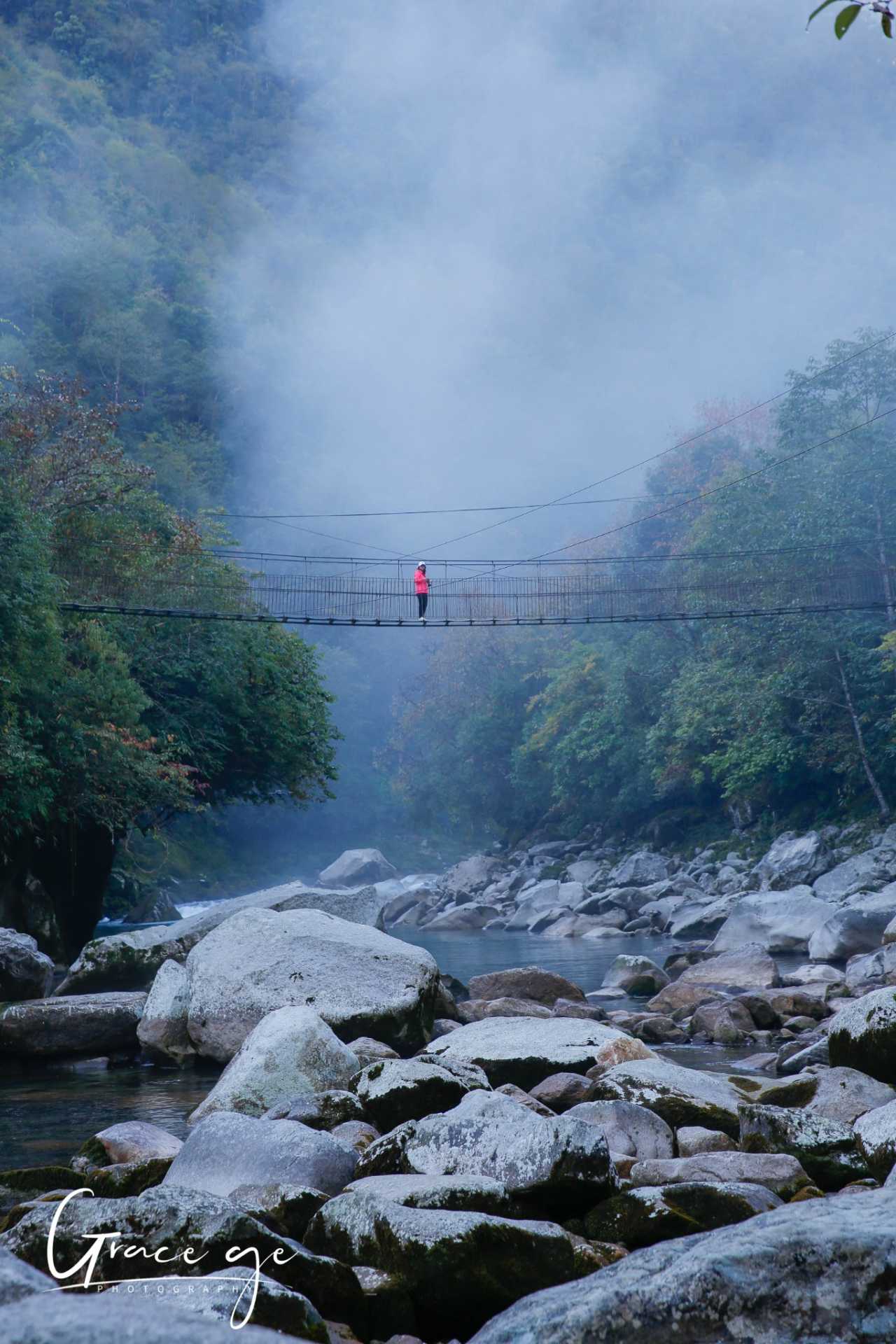
After the Nujiang River bursts out of Tibet, it reaches its greatest depth at Bingzhongluo, forming the largest flat area in the canyon. In the afternoon, we hiked to Wuli Village. Entering from the north gate, we crossed a steel cable suspension bridge and then walked a 1.5-kilometer section of the ancient Tea Horse Road—a narrow path carved into the cliff face above the roaring Nujiang. The rushing water below stirred our hearts. As we moved, the scenery changed. Looking back at Wuli Village from the bridge, the houses and trees were arranged in pleasing disarray, with green grass everywhere. This hike was far more impressive than the Tea Horse Road section at Fengyang Yi in Dali.
Meili Snow Mountain and Shangri-La: A Pilgrimage to the Snowy Highlands
From Bingzhongluo to Feilaishi, we photographed the dawn over the First Bend of the Nujiang, Peach Blossom Island, the panoramic view of Bingzhongluo, and the fog-shrouded summit. On the morning of the seventh day, Meili Snow Mountain revealed its true face in the early light—the moment of “sunlight on golden peaks” left the entire group breathless, with only the sound of shutters clicking. Feilaishi is the classic spot for shooting Meili, while Wunongding offers shots that frame the snow mountain with villages in the foreground.
On the eighth day, we reached Shangri-La: the vastness of the First Bend of the Jinsha River, the wetland scenery of Napahai Lake, and the giant prayer wheel at Dukezong Old Town. The ninth day featured the dawn at Ganden Sumtseling Monastery (Songzanlin), the ruggedness of Haba Snow Mountain and Tiger Leaping Gorge, and an evening arrival at Lijiang Old Town.
Wuliangshan: A Pink Farewell with Winter Cherry Blossoms
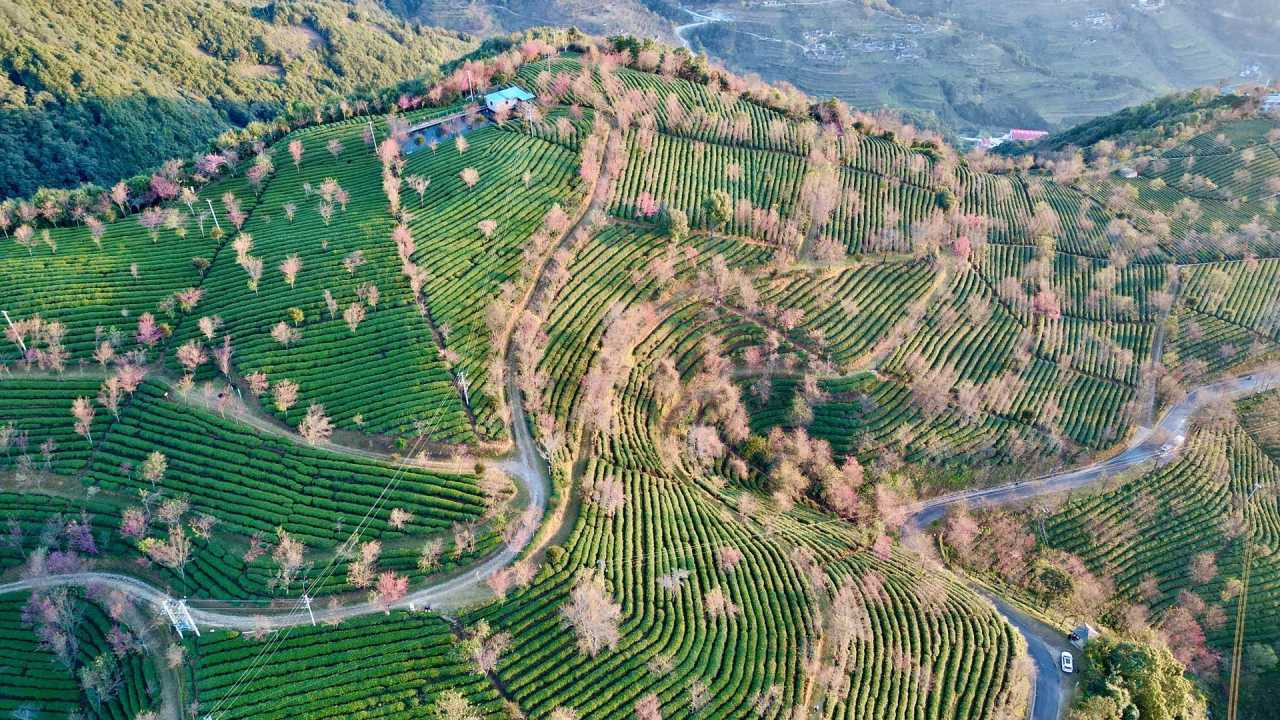
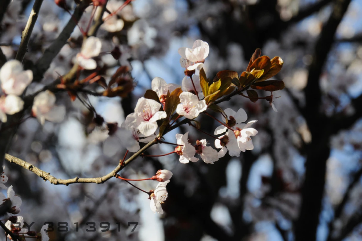
On the tenth morning, after photographing the sunrise over Jade Dragon Snow Mountain, we visited Zhuomu Village to capture Yi ethnic culture, then arrived at Wuliangshan in the afternoon. On the eleventh morning, the sunrise at Cherry Blossom Valley brought the journey to a climax: winter cherry blossoms bloomed in the morning mist, with pink flower seas interwoven with green tea plantations, as if the earth had overturned a palette. This was the final gift of the “season-limited” experience, and the perfect conclusion to this journey of light and shadow.
Practical Tips and Summary
Transportation: The Beautiful Road has many curves—motion sickness medicine is essential. From Liuku to Bingzhongluo, it’s best to switch to small vans. Local drivers are skilled but fast.
Photography: Use high-speed burst mode for the zip-line. For Crown Peak sunrise, shoot from the pond to capture reflections. The advection fog at Ginkgo Village is a rare treat—get up early. The Dulong River is best in the early morning mist.
Culture: Respect local customs and ask permission before taking photos. The Nu hand-grabbed feast, Lisu hymns, and Dulong tattooed women are experiences not to be missed.
Season: Late November to early December is the golden window for photography in northwest Yunnan: golden ginkgo, early winter cherry blossoms, and clear views of snow-capped peaks.
This journey showed me the majesty of the Hengduan Mountains, the roar of the Nujiang River, the jade of the Dulong River, and the sanctity of Meili. The autumn and winter of northwest Yunnan wrote me a love letter in light and shadow. If you love photography, nature, and culture, pack your camera this season and embark on a journey “shot just like this.”
You should also read:
Cloud Travelogue · Dali of Wind, Flowers, Snow, and Moon: A Three-Day, Two-Night Journey of a Free Spirit
Cloud Travelogue · Dali of Wind, Flowers, Snow, and Moon: A Three-Day, Two-Night Journey of a Free Spirit I am a cultured female foodie with a touch of rogue charm. I slung on my backpack, took my lover's hand, and set off on a spontaneous…
Continue reading...
The Meaning of Travel – A Tengchong Story: A Journey of the Heart and Personal Growth
The Meaning of Travel – A Tengchong Story: A Journey of the Heart and Personal Growth Setting Out, Only to Return a Better Self Some say travel is nothing more than leaving a place you're tired of, only to go to a place where others…
Continue reading...
A Spiritual Journey to Lugu Lake in Lijiang: Experiencing the Legend of the Kingdom of Women! (Reproduction and Hotlinking Prohibited)
A Spiritual Journey to Lugu Lake in Lijiang: Experiencing the Legend of the Kingdom of Women! (Reproduction and Hotlinking Prohibited) Off-road自驾, food, hotel and民宿 reviews, Featured Traveler, Tank 300 owner, 200,000 km of self-driving experience. WeChat: y01294987 Ninglang Yi Autonomous County 2010.11.08 · 7 days…
Continue reading...