Pu'er and Xishuangbanna: A Snake Year Spring Festival Mini Loop — A Spontaneous Warm Winter Road Trip
Pu'er and Xishuangbanna: A Snake Year Spring Festival Mini Loop — A Spontaneous Warm Winter Road Trip
On the eve of the 2025 Spring Festival, while the north was still shivering in the bitter cold, I made a bold decision: pack up the whole family, escape the damp chill of Shanghai, and head to southern Yunnan for a true "warm winter." The original plan was to first see the black-headed gulls in Kunming, then take a train to Pu'er, rent a car and drive counterclockwise, passing through Jingmai Mountain, and finally arriving in Xishuangbanna, from where we would fly back to Shanghai. But life loves to play jokes — a sudden family emergency nearly derailed the entire trip. In the end, we delayed our departure by two days, canceled the flight to Kunming on the second day of the Lunar New Year, and instead booked a direct flight to Xishuangbanna on the fourth day. Surprisingly, we even saved over 200 yuan. The Kunming portion was cut, but the rest of the itinerary remained unchanged — otherwise, rebooking hotels would have come with a far less "beautiful" price tag. So, on the first day after landing, we rented a car and drove straight to Pu'er. What was originally a journey starting from Kunming turned into a mini loop departing from Xishuangbanna, going counterclockwise through Pu'er and Jingmai Mountain before returning to Xishuangbanna. Before setting out, I meticulously planned every detail. But with a three-year-old in tow, plans never keep up with changes — the child's schedule and mood became our real "navigation."
Pu'er Chapter: A Symphony of Tea Aroma and Slow Living
D1: Departure on the Fourth Day, Night Drive to Pu'er
Shanghai → Xishuangbanna → Pu'er

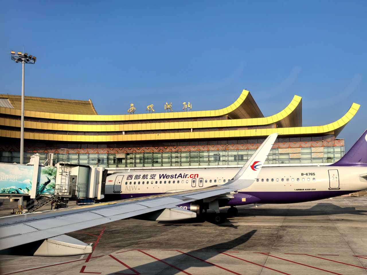
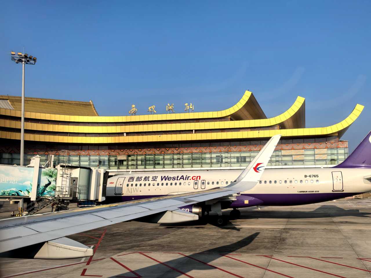
On February 1st (the fourth day of the Lunar New Year), we boarded China Eastern Airlines flight MU6507, departing from Shanghai Pudong T1 and arriving at Xishuangbanna Gasa Airport at 5:25 PM. The airport is small, and the parking lot is right outside the terminal. Picking up the rental car was surprisingly quick. But the real test came next — the airport is only a few kilometers from the city center, with no ring road or expressway. To reach Pu'er, we had to drive through the city to get on the highway. The roads near Manting Imperial Garden and Gaozhuang were frustratingly congested, especially during the Spring Festival holiday, with traffic flowing like a dense stream. We left the airport around 6 PM and didn't get on the highway until after 7 PM, by which time it was already completely dark.
Once we entered the Pu'er region, the view outside the window amazed me — farmlands were dotted with lights, scattered across flat fields and hillsides like stars fallen to earth. Later, I looked it up and found out these were dragon fruit plantations using "flowering-inducing light supplementation technology" during the winter and spring seasons. By providing nighttime light, they promote photosynthesis, keeping the fruit trees from going dormant in winter and allowing for off-season harvesting. Tens of thousands of LED lights lit up simultaneously, creating a dreamlike, almost fairy-tale scene. Around 8:30 PM, we finally arrived at our hotel in Pu'er's Simao District, ending the first day's journey.
Tip: The name "Pu'er" first appeared in the "New Book of Tang" from the Tang Dynasty, referring to a vast primeval forest. As the tea trade flourished during the Song Dynasty, Pu'er gradually became a regional name. During the Ming and Qing dynasties, Pu'er tea gained widespread fame. In the Yongzheng era of the Qing Dynasty, the imperial court established "Pu'er Prefecture," officially formalizing the name. The history of Pu'er tea can be traced back over 3,000 years to the time of King Wu's campaign against the Shang, when the Pu people, ancestors of Yunnan's indigenous groups, offered tea to King Wu of Zhou. Interestingly, the term "Tea Horse Road" is quite young — it wasn't until the 1990s that Yunnan scholars, after trekking along the horse caravan routes into Tibet, named it the "Tea Horse Road," and it only became widely used in academic literature around 2004.
D2: Yixiang Mountain, Daijia Alley, and the Government Compound
Slow Travel in Pu'er
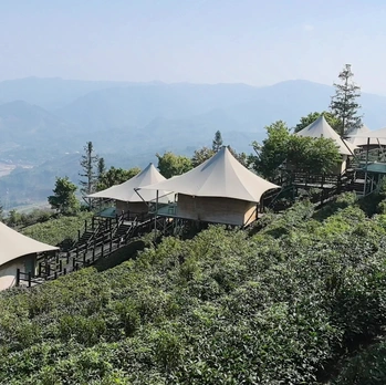
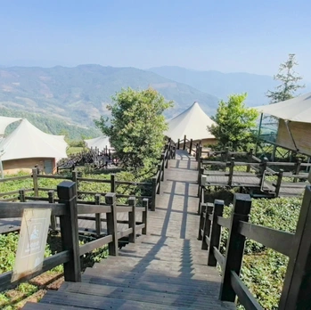
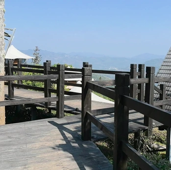
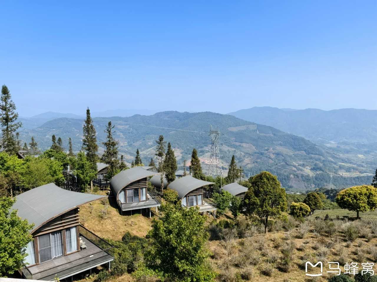
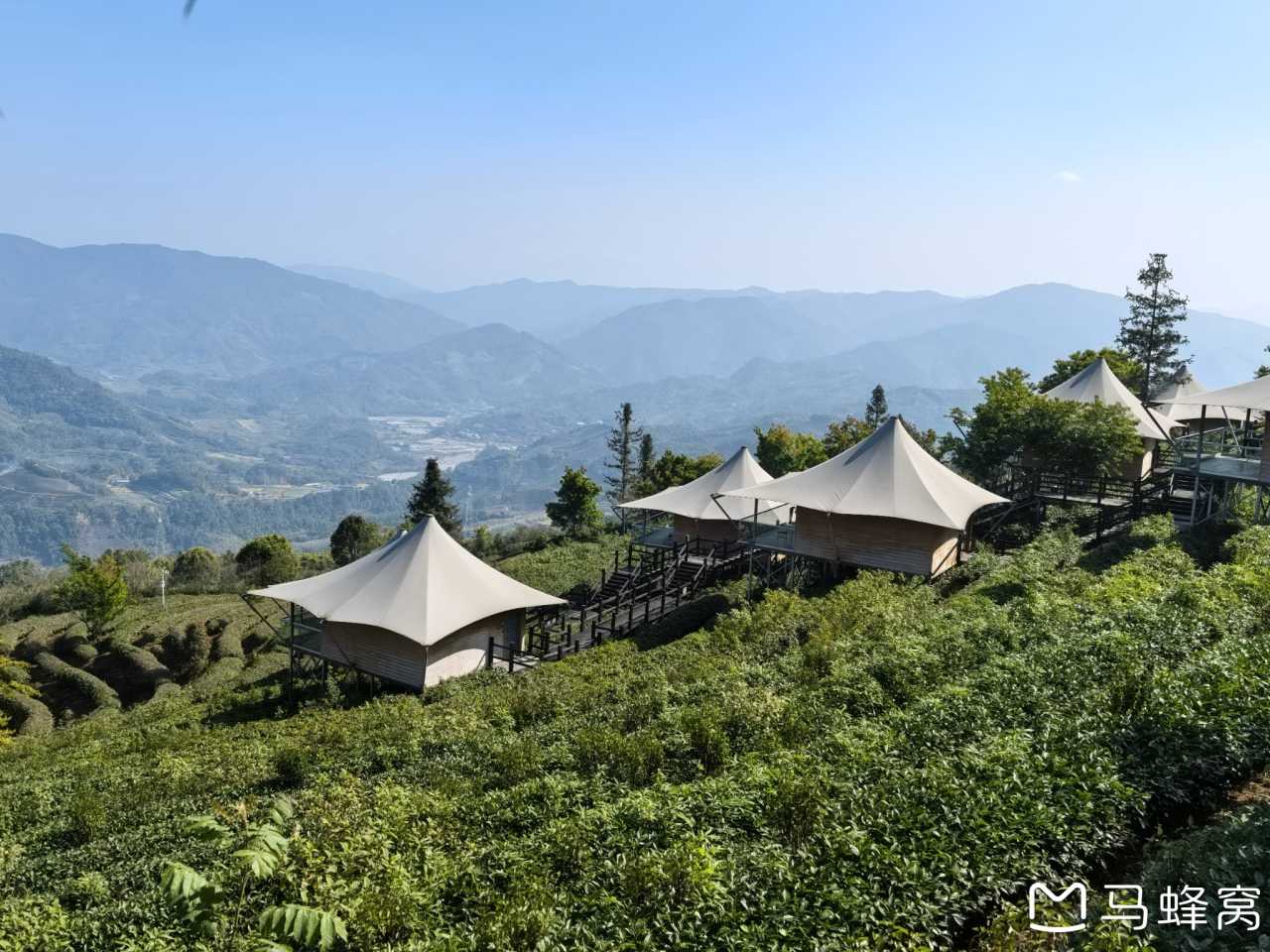
On the second day, we headed straight for Yixiang Mountain. It was a half-hour drive from the hotel. I had contacted the Pu'er Yixiang Mountain Camp & Hillside Hotel in advance and booked lunch, so we got free entry and drove directly up the mountain from the base gate. At the top, there's a five-star hotel, a restaurant, and a café, offering a variety of experiences including wooden cabins, tent hotels, RVs, and stargazing campsites. The entire mountain is covered in tea fields, with cabins and tents scattered among them. Winding boardwalks connect every scenic spot. Since it's a hotel-exclusive attraction, there were very few people. We strolled among the tea plants, taking photos and gazing into the distance, enjoying a rare moment of tranquility — it was the least crowded place of the entire trip.
In the afternoon, we returned to Simao's city center to check out a few landmarks. First stop was Daijia Alley, a century-old street dating back to the late Qing and early Republic periods. Though only a few hundred meters long, it was packed with people. Parking was a nightmare, but a traffic officer kindly directed us to park inside the district government compound — after decades of driving, this was a first for me. It was a five- or six-minute walk from the government compound to Daijia Alley, but the crowded experience left me a bit disappointed. The Xinji Bean Pastry Shop had sold out of everything, and the next batch wouldn't be ready for half an hour. Overall, it was underwhelming — if you have high expectations, you might be let down.
Next was the Government Compound. It was a bit tricky to find on GPS; we circled around the residential area twice before locating it. You can navigate to Moonlight Community or the coffee shops at the corner of Julia Street, such as Blue-Green Algae Coffee,西兰花 (Broccoli), or Mountain Magpie's Home. The Government Compound was originally built in the 1950s as a mixed-use area combining administrative offices and residential housing. After renovation, it became a new type of community blending a creative cultural district, residential area, and administrative offices. Rather than a trendy tourist spot, it's more of a place to experience slow living — sit in a shop's garden or under a tree by the roadside, order a coffee, bask in the sun, and watch people taking photos on the street corner. It's pleasant and peaceful. Compared to the hustle and bustle of Daijia Alley, this place feels like a different world.
As the sun began to set, we went to the popular viewing spot on TV Station Road. Note that TV Station Road is cut in two by Pu'er Avenue. We needed to go to the eastern section, taking the right fork uphill and driving all the way to the top. There, a famous large tree offers a great vantage point for overlooking Pu'er city and watching the sunset.
D3: Nakeli and the Ancient Tea Horse Town

Relics of the Ancient Road
On the third day, we drove half an hour to the Nakeli Tea Horse Station Scenic Area in Tongxin Town, Ning'er County. Parking was a challenge — the scenic area's lot fills up before dawn, so we had to park on a private lot run by a roadside restaurant. "Nakeli" means "good farmland by the bridge" in the Dai language. As an important post station on the ancient Tea Horse Road from Pu'er Prefecture, this place was once bustling with merchants and endless caravans of horse teams. Today, the crowds of horse caravans have vanished, and the清脆 jingle of bells has faded away, replaced by tourists from all over the country. After a stroll, we picked a coffee shop, sat down for drinks and sunbathing, and returned to Simao at noon.
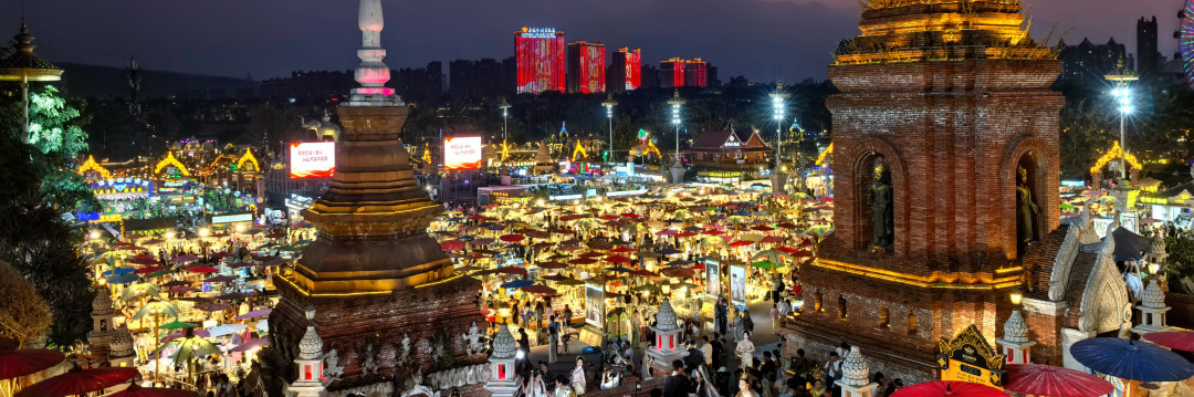
In the evening, we visited the Ancient Tea Horse Town. This is a replica ancient architectural complex, built against the backdrop of tea horse culture and reconstructed based on the original appearance of old Pu'er Prefecture, recreating the prosperity of the Tea Horse Road's heyday. The town features the Sifang Listening Square, Koi Fish Food Street, the Grand Tang Market, and the Tea Horse Bazaar. We had dinner here two nights in a row — at Zhadu Renjia and Nakeli Xinyuan. There were plenty of dining options, and prices were reasonable. At night, the replica buildings were brightly lit, and the night market stalls lined up in rows. After dinner, we experienced the bonfire party at Sifang Listening Square, first watching a fire-breathing performance, then joining in ethnic dance and "Dai-style disco." Walking to the East Gate, we also caught an ethnic song and dance show. Finally, we bought fruit and desserts at the South Gate night market. The Ancient Tea Horse Town is best visited in the late afternoon and evening, and it's the liveliest spot in Pu'er city.
D4: Sun River National Forest Park and Coffee Estate

Nature Exploration
On the fourth day, we set out at 7 AM and drove an hour to Sun River National Forest Park. Since we arrived early, we parked right by the main gate. After buying tickets and entering, we climbed a short flight of steps and took a sightseeing shuttle. Ten minutes later, we got off and began our walk. Following the boardwalk, we passed through a series of attractions: the Rhinoceros Retreat (where you can interact and take photos), the Slow Loris Domain, the Deer Family Home, the Mysterious Binturong, the Biodiversity Exhibition Hall, the Macaque Paradise, the Fish Shadow Stream, the Gibbon Peninsula, the Jiaogua Pond Wetland, the Raccoon Area, the Bear Spot, the Butterfly Valley, the Traveling Red Panda (the most popular, with interactive photo opportunities), and the Bird Paradise, before finally taking the shuttle out. When wild red pandas approached, staff used branches to feed them apples, attracting them for photos with visitors. The boardwalk followed the mountain's contours, making it quite strenuous for the elderly and children.
On the way back from the park to the hotel, we stopped at the Wild Duck Pond Valley Estate. In the Pu'er region, where "coffee in the left hand, tea in the right" is a saying, tea estates and coffee estates are everywhere. We chose the Wild Duck Pond Valley in Dakahe Village, Simao District, which has been Pu'er's earliest coffee-growing base since 1988. Unlike the crowded trendy coffee estates, the experience here is more authentic. The process was divided into picking, explanation, and tasting — four types of coffee beans were offered, two brewed by the barista and two that we could prepare ourselves. For the first time, I chewed a fresh red coffee fruit directly — it was slightly sweet, a delightful surprise.
Jingmai Chapter: Sea of Clouds, Ancient Tea Forests, and Blang Ethnic Culture
D5: The Banyan Tree and First Impressions of Jingmai Mountain
The Road Up the Mountain
Today we left Simao and headed for Jingmai Mountain. The drive from our Pu'er hotel to the homestay in Manghong took three and a half hours — two and a half hours down the mountain and one hour up. Along the way, near Huimin Town, we turned off the main road to visit a movie filming location — the Great Banyan Tree scene site, located in Yunpan Old Village, Huimin Town, Lancang County. The beautiful banyan tree featured in the film "Coffee or Tea?" (also known as "A Little Bit of Everything") is from this spot. The popular photo spot is a thick branch, and local villagers provide ladders for a fee. After a quick photo stop, we returned to the main road, passed through Huimin Town, and entered Jingmai Mountain. Shortly after passing the mountain gate, we turned left over a bridge, and the characteristic stone slab road of Jingmai Mountain began — bumpy, with loud tire noise, and slow going. Most of the old sections were paved with natural stone blocks, but after reaching the Mangjing area, the new sections were laid with brick tiles, making the ride much smoother.
Our homestay in Manghong faced due west, and that evening we watched the first sunset from the rooftop terrace. After nightfall, the homestay owner lit a fire pit and roasted milk tea and tofu for the guests, warm and cozy.
Tip: Jingmai Mountain is located on the southwestern border of Yunnan Province, at the junction of Xishuangbanna, Pu'er, and Myanmar. In the Dai language, "Jing" means settlement or fortress, and "Mai" means new, so "Jingmai" refers to a newly established Dai village. The mountain is home to 14 traditional villages, divided into two administrative villages: Jingmai Village (predominantly Dai) and Mangjing Village (predominantly Blang). On September 17, 2023, the Cultural Landscape of Old Tea Forests of the Jingmai Mountain in Pu'er was inscribed on the UNESCO World Heritage List, becoming China's 57th World Heritage site. This area boasts the largest contiguous, best-preserved, and oldest ancient tea gardens, with over 3.2 million ancient tea trees spread across 28,000 mu (about 4,600 acres), spanning nearly 2,000 years. Three main attractions: the thousand-year-old ancient tea gardens, the sea of clouds, and the ancient villages.
D6: Sunrise over the Sea of Clouds and Strolling Through Ancient Villages
The Soul of Jingmai Mountain
Last night, the homestay owner informed us that we would gather at 7:30 AM to watch the sunrise. We went downstairs on time and followed the owner through the village, walking for over ten minutes to an undeveloped viewing platform near the Octagonal Pagoda — essentially a hillside with a good angle. Quite a few people were already there. We found our spot and waited for the sun to rise. As it slowly climbed, the sea of clouds in the valley was painted with color — the reward for early risers is catching both sunrise and the sea of clouds in one go. The sea of clouds is generally visible only from sunrise until noon; before sunrise it's too dark to see clearly, and by midday it dissipates. After coming down from the Octagonal Pagoda, we walked through Manghong Village and returned to the homestay for breakfast.
In the morning, we went to Nuogang Old Village. On the road between Mangjing Upper Village and Mangjing Lower Village, we passed the Princess Banyan — a banyan tree that spans the road like a ceremonial archway. "Nuogang" means "gold falling into a pond" in the Dai language. The village center, Buddhist temple, traditional houses, and water sources are the key heritage elements of Nuogang Old Village. The main ethnic group here is the Dai. It has been listed in the second batch of China's Traditional Villages and is one of the nine traditional villages that are heritage components of the "Cultural Landscape of Old Tea Forests of the Jingmai Mountain in Pu'er." Nuogang Old Village is situated on the eastern side of Nuogang Mountain, nestled in a basin surrounded by ancient tea forests, at an altitude of about 1,450 meters, above the fog line. The village preserves the traditional layout and historical appearance of a Dai mountain village, with the village center as the focal point in a radial pattern. Nuogang Buddhist Temple, located on a high platform north of the village, was built between the late Qing Dynasty and the early Republic of China. From here, you can overlook the village's uniform dark-tiled, gable-and-hip roofs.
In the afternoon, we visited Wengji Blang Old Village. "Wengji" means "divination" in the Blang language — legend has it that when the Blang ancestors migrated to Jingmai Mountain, they performed divination here to choose the site for their village. Wengji is predominantly Blang, also listed in the second batch of China's Traditional Villages and one of the nine heritage component villages. The village is located at the northern end of Aileng Mountain, built along the mountain slope, surrounded by ancient tea forests, at an altitude of about 1,350 meters. According to local oral tradition, the layout of the five Blang villages on Jingmai Mountain and Aileng Mountain resembles an elephant, with Wengji positioned at the elephant's head. The village preserves the traditional layout and historical appearance of a Blang village, with buildings arranged around the village center along contour lines. All buildings are traditional stilted houses, traditionally required to have their entrances facing the village center and their roof ridges parallel to Aileng Mountain. Several large trees at the village boundary and near the temple are revered by the villagers as guardian trees.
After leaving Wengji, we visited the Queen Bee Tree — located about 1 kilometer northeast of Mangjing Upper Village. This is a banyan tree about 50 meters tall, with around 70 beehives built on its branches. The Blang people of Mangjing Village regard it as a sacred tree, holding a "bee-inviting" ceremony during major festivals. Finally, we went to the Tea Ancestor Temple to watch the sunset. The Tea Ancestor Temple offers an excellent sunset viewing spot. As the sun sets, its rays illuminate the temple and the Mangjing Lower Village in front. The temple enshrines the Tea Ancestor Pa Ai Leng — the leader of the Pa Meng tribe on Aileng Mountain, considered the earliest documented tea planter in world tea culture. He led the Blang people to migrate into the territory of the Dai king, married the Dai king's youngest daughter, learned Dai culture, and widely planted tea trees, creating the vast ancient tea gardens that exist today.
D7: Sea of Clouds Coffee and the Road Down
Saying Goodbye to Jingmai Mountain
Today we didn't get up early to watch the sunrise, but when I woke up, the sea of clouds outside our homestay window surprised me — even the owner said it had been hard to see the clouds in this area recently. After breakfast, we set off down the mountain, stopping to admire the magnificent sea of clouds one last time before leaving Jingmai. Along the downhill road, near Jingmai Dazhai, we passed Bean Great Beigu Coffee Warehouse — a café perched in the clouds. It sells coffee and coffee beans, and walking through the shop leads to an excellent viewing spot for the sea of clouds. The terrace, rooftop deck, and boardwalk below are all great vantage points. Clouds like a sea, mountains like islands — put on sunglasses, grab a coffee, and sit quietly for a moment before hitting the road. Utterly delightful.
Xishuangbanna Chapter: Buddhist Temples and Tropical Vibes
D7: Manhe Grand Buddha Temple
Tranquility in Menghai
After coming down the mountain, we headed to Xishuangbanna. Halfway there, in Menghai County, we made a detour to Manhe Grand Buddha Temple. This is a thousand-year-old Dai Buddhist temple, brimming with tropical atmosphere. The entrances are guarded by different mythical mounts — the main gate is supported by two white elephants, while the side and back gates feature two creatures with elephant heads and dragon bodies. In front of the main hall stands a giant golden Buddha statue, and behind it is a golden lotus stupa unique to Theravada Buddhist temples, with four Buddha statues on each side, symbolizing health, wealth, love, and peace. The temple is called the "Grand Buddha Temple" because of the large reclining Buddha statue. To the east of the temple is Menghai's First Holy Spring — a thousand-year-old well. Locals have used this water for brewing tea for over a millennium. Though the temple is not large, it is exquisite and peaceful. Compared to the bustling temples of Xishuangbanna, this place is a true sanctuary of Buddhist tranquility, well worth a visit.
D8: The General Buddhist Temple and Farewell
The Finale in Xishuangbanna
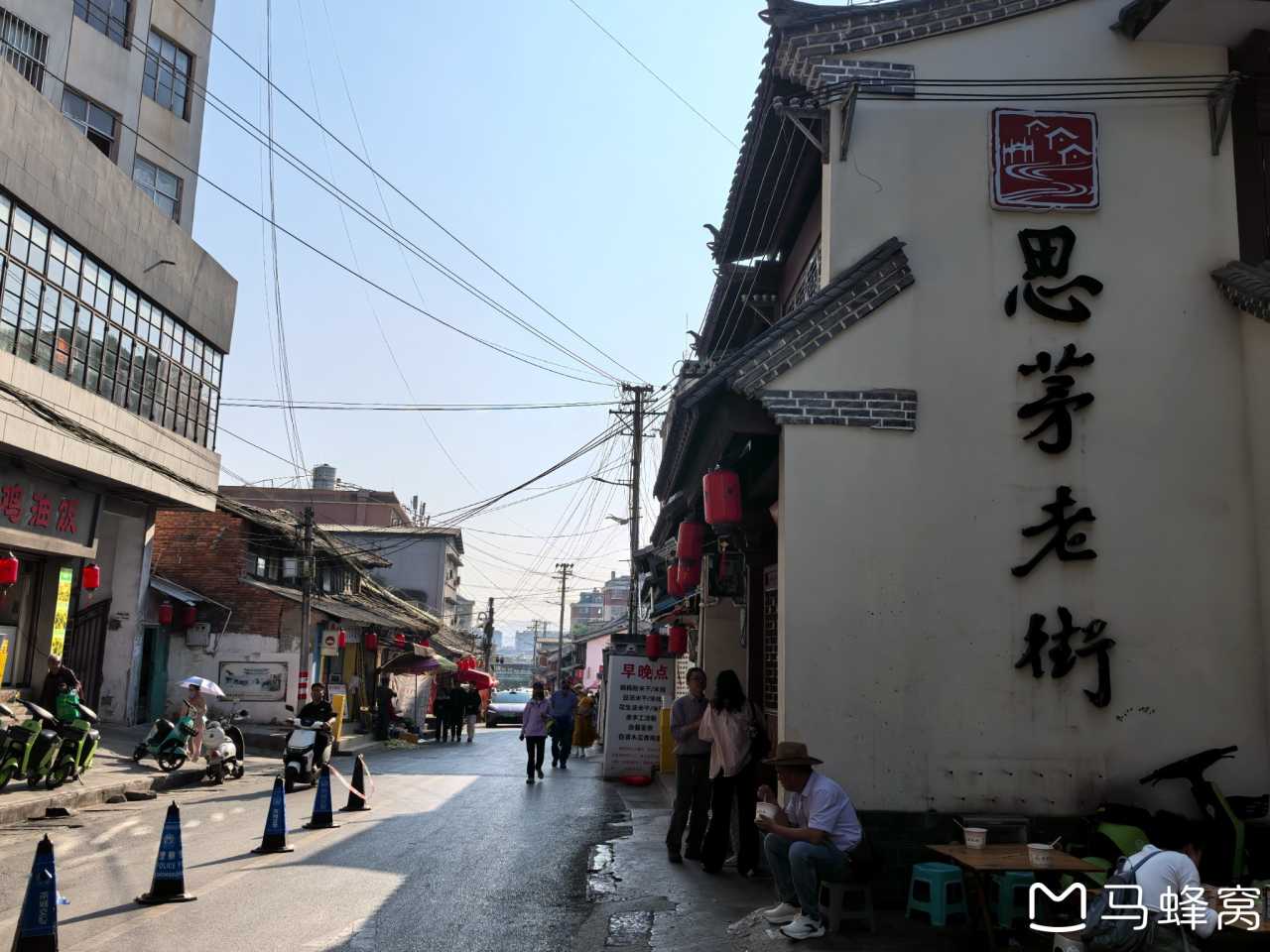
On February 8th, our last day in Xishuangbanna, we visited the General Buddhist Temple. This was the royal temple of the Dai kings, first built in 615 AD, with a history of over 1,400 years. It was the first Buddhist temple built after Theravada Buddhism was introduced to Xishuangbanna and holds the highest rank. The General Buddhist Temple is connected to Manting Imperial Garden, but with limited time, we only had a quick glance before rushing to the airport, ending our Snake Year Spring Festival mini-loop journey.
Tip: "Xishuangbanna" means "twelve administrative regions" in the Dai language — "Xishuang" means twelve, and "Banna" refers to an administrative unit that provided feudal tribute. It was historically known as Mengle. In 1160 AD, the Dai leader Payazhen unified Mengle, and in 1570 AD, the chieftain Zhao Yingmeng divided the territory into 12 "Banna," giving rise to the name.
Conclusion: Unexpected Joys in a Warm Winter
This Snake Year Spring Festival mini loop was originally a meticulously planned perfect itinerary, but a family emergency turned it into an "impromptu performance." Yet it was these surprises that filled the journey with delight — from the starlight of the dragon fruit plantations to the tranquility of Yixiang Mountain's tea fields; from the sea of clouds and sunrise at Jingmai Mountain to the rustic charm of Wengji Village; from the red pandas of Sun River to the serenity of Manhe Grand Buddha Temple. Traveling with a three-year-old, we learned to go with the flow and discovered the joy of "playing it by ear."
A Few Final Tips: - Driving: The mountain roads in Pu'er and Jingmai are winding. It's best to rent an SUV, especially for the stone slab roads on Jingmai Mountain — low-clearance cars are prone to scraping. - Accommodation: Book homestays on Jingmai Mountain well in advance, especially during the Spring Festival holiday. Homestays in Manghong and Wengji are in high demand. - Time Management: With young children, plan for just one or two attractions per day. Don't try to do too much. - Food: Pu'er's coffee and tea are worth trying, and don't miss the fire pit roasted milk tea on Jingmai Mountain.
If you also want to escape the cold winter and embark on a warm winter road trip, the Pu'er-Xishuangbanna mini loop is definitely worth a try. Pack your family, bring a good mood, and hit the road!
You should also read:
South of the Clouds: A Spontaneous Lijiang Wanderlust
South of the Clouds: A Spontaneous Lijiang Wanderlust Prologue: When the Soul Meets Freedom Some places have names that alone stir the heart with longing. Lijiang is one such place. It exists like an unfinished poem, a melody left hanging in the air, echoing softly…
Continue reading...
September: Finding Unexpected Warmth in Yunnan (Kunming, Dali, Shuanglang, Lijiang, Lugu Lake)
September: Finding Unexpected Warmth in Yunnan (Kunming, Dali, Shuanglang, Lijiang, Lugu Lake) Foreword: One Person's Journey, A Crowd's Story Before I set off, like every first-time solo traveler, I printed out a thick stack of travel guides and rehearsed countless possible scenarios in my head—getting…
Continue reading...
A 9-Day Yunnan Journey: From Lijiang to Dali to Tengchong – A Trip Toward Self-Reconciliation
A 9-Day Yunnan Journey: From Lijiang to Dali to Tengchong – A Trip Toward Self-Reconciliation Some say travel is simply going from a place you're tired of to a place other people are tired of. It stings to hear, but it's painfully true. Yet there's…
Continue reading...