The Opening Battle of 2021: An 827km Cycling Escape from Dali to Tengchong
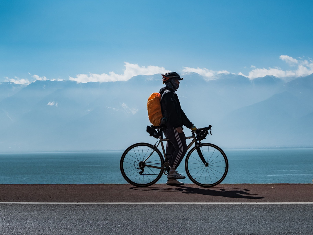
The Opening Battle of 2021: An 827km Cycling Escape from Dali to Tengchong
Introduction: When Chengdu's Winter Lost Its Charm
Winter in Chengdu has a kind of inescapable gloom. Cold, damp, and gray, the sky hangs like a soaking wet rag, pressing down until it's hard to breathe. After finishing my cycling trips through Guangxi and Guizhou, my bike spent a full six months hanging on the wall like a decorative ornament, collecting dust. Calling that "slacking off" would be generous — I had completely given up.

After Chengdu's first snowfall of 2021, I mustered the courage to ride to Longquan Mountain. I ended up frozen stiff. That's when I realized: Chengdu's winter had nothing left to offer me. Instead of shivering here, why not find a warm route, escape the cold, take some photos, and give my little yellow duck a spin?
In winter, China doesn't offer many warm options. Hainan was too hot, and I'd already been to Guangxi. So I settled on Yunnan — specifically, southern Yunnan. A 827-kilometer warm-weather cycling journey starting from Dali and ending in Tengchong was set in stone.
Route and Preparation: A Curious Coincidence of Two-Character Place Names
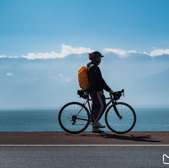
Route Overview
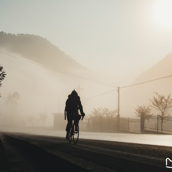
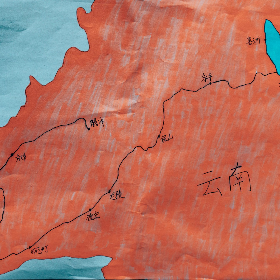
Dali → Xizhou → Dali → Yongping → Baoshan → Longling → Mangshi → Wanding → Ruili → Yingjiang → Tengchong
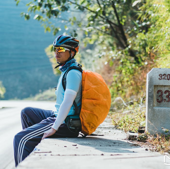
Look closely, and every single place name has exactly two characters — Dali, Xizhou, Yongping, Baoshan, Longling, Mangshi, Wanding, Ruili, Yingjiang, Tengchong. Neat as a five-character poem, right?
Transporting the Gear: The Smart Choice
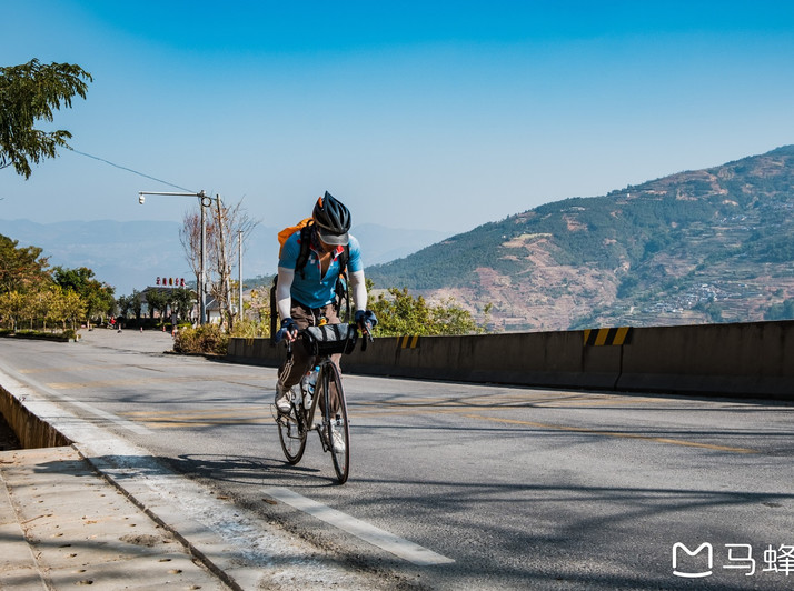
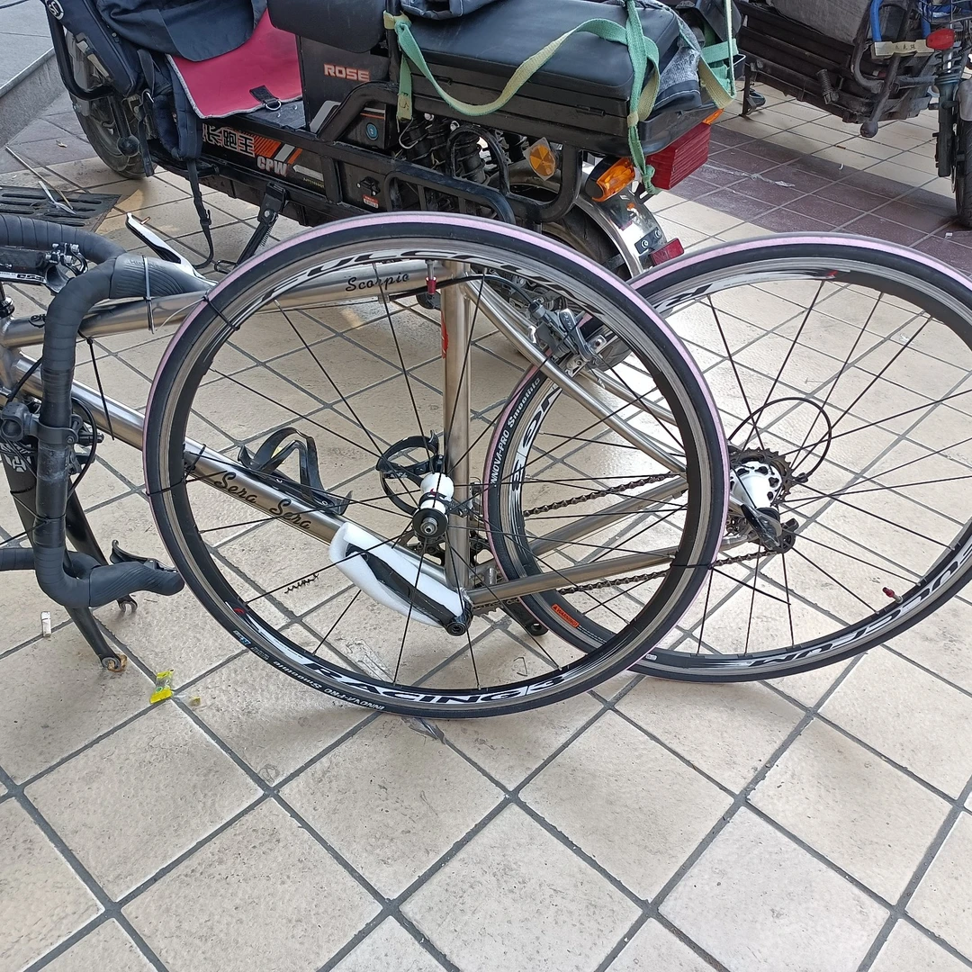
For long-distance cycling in China, one of the biggest headaches is transporting your bike. To make things easier, I chose to ship it ahead by courier, saving myself the hassle of checking it at the airport.
Shipping my bike from Chengdu to Dali cost 108 yuan; sending it back from Tengchong to Chengdu was just 83 yuan. Those prices were so heartwarming I felt like sending the courier a little flower.
With the most critical step handled, the rest was just a logbook of memories — let's roll!
Day 1: Birdwatching Without a Telephoto Lens — Dali to Xizhou
Flying from Chengdu to Dali took only two hours. As the plane descended, the clear sky revealed Yunnan's mountains and winding roads emerging from the clouds. Warm sunlight streamed through the window, making me feel completely at ease — but also hinting that this ride wouldn't be a walk in the park.
This was my second visit to Dali. Without much hesitation, I got off the plane, found the courier pickup point, assembled my bike, and the long-distance ride officially began. Simple, direct — just how I like it.
Starting from Erhai Park, I cycled along the shores of Erhai Lake toward Xizhou. The sun was perfect, and the wind was perfect — no, actually, the wind was strong. Flocks of seagulls lined the shore, practicing their flying against the breeze, completely unafraid of people. It was my first experience of "birdwatching without a telephoto lens." I leaned my bike against a tree, soaked in the sun, and slowly enjoyed the scene — no rush, no hurry.
Dali's famous "Xiaguan Wind" lived up to its reputation. Despite the clear skies, the wind was fierce and relentless — my drone didn't stand a chance of taking off.
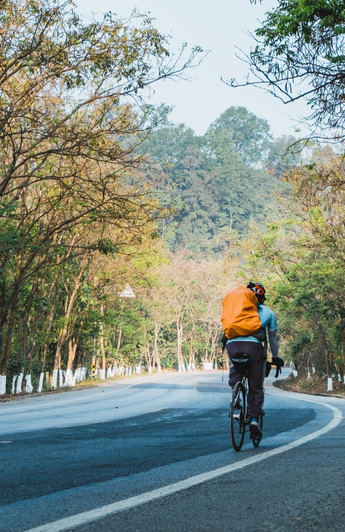
Erhai Park offers the best view of Dali's Xiaguan district and Cangshan Mountain. In the distance, Erhai Lake's Heart Pavilion and the Dali International Olympic Sports Center came into view. The dense dark clouds over the mountains signaled uncertain weather ahead.
The day's turning point came at Xingsheng Bridge, which crosses the Xi'er River. Standing on the bridge, you could feel a strange weather divide: sunny on the lake side, rainy on the mountain side. As I rode through, raindrops mixed with icy cold slapped me unceremoniously in the face.
After crossing Xingsheng Bridge, I officially entered the West Ring Road around the lake. Five years ago, I had circled Erhai Lake, taking the Dali Road — a boring, monotonous stretch. But now, the West Ring Road was almost perfect: great pavement, interesting curves, and scenic lakeside parks. Unfortunately, the weather started to go downhill. The sun hid behind dark clouds, the light was poor, and the winter vegetation was still dormant, so the scenery lost a lot of its charm. The pandemic had also kept tourists away, making it feel like I had the entire West Ring Road to myself.
The only constants were the relentless wind off the lake and the cheerful seagulls riding it. The little propeller on my yellow duck was spinning at full speed.
The scenery along the West Ring Road was mostly made up of withered trees by the lake and traditional Bai ethnic houses. Stopping frequently to take photos ate up a lot of time, and when it started drizzling, I had to just put my head down and pedal. So, braving the wind and rain, I arrived at Xizhou Ancient Town.
Entering Xizhou's cobblestone streets on a road bike was a nightmare — bumpy enough to make you question your life choices. But the lack of crowds was a pleasant surprise. It had been ages since I'd wandered through such a quiet,古朴 (ancient and simple) town. Even the most iconic Round Corner Ancient Building had barely any tourists. Wanting a photo of an empty street? Easy as pie.
Unfortunately, Xizhou's specialty foods — baba flatbread and ershi rice noodles — weren't my thing. My first try was probably my last. It looked like I'd be switching to "rice noodle mode" for this trip.
Day 2: Beneath Cangshan, Along Erhai — Xizhou Back to Dali
In my long-distance cycling habits, I have a rule: avoid repeating routes whenever possible. But this loop around Erhai Lake was one of the rare repeats in my cycling career. That might be the highest compliment I can pay to Erhai.
Pulling back the curtains in the morning, the sun had already risen, illuminating Cangshan Mountain in the distance. Today's weather was solid.
After a bowl of rice noodles in Xizhou, I started exploring the town slowly. Xizhou isn't big, and it doesn't have any particularly stunning attractions. But compared to Dali Ancient Town and Shuanglang, its biggest charm is its down-to-earth feel. In the early morning, the cobblestone streets were empty of tourists, filled only with locals heading to market with baskets on their backs — full of life.
With the sun shining, I took my time wandering Xizhou again before setting off. So, this trip gave me two versions of Xizhou: one in the rain, one in the sun.
The most photogenic part of Xizhou is the rice fields around the town. In harvest season, waist-high rice stalks against the pure white Bai houses make the perfect backdrop for pastoral shots. But in winter, the crops hadn't grown yet.
The north gate of Xizhou faces Dali Road, which is busy with traffic and dust. I chose to return to the West Ring Road. When cycling around Erhai, the creatures you encounter most are seagulls. Reaching the lakeshore, a flock of seagulls had already been waiting for me — might as well take a photo, right?
After the West Ring Road ended, I rejoined Dali Road. Before reaching Shuanglang, the road surface was poor, and some lakeside sections were closed, forcing a detour through Shangguan Town — all dust and dirt. Thankfully, once I hit the East Ring Road, the good scenery returned. Cangshan Mountain loomed through the mist, like a natural barrier in front of Erhai Lake.
Passing Shuanglang Ancient Town, I decided not to go in, instead continuing along the East Ring Road to a viewpoint. From there, I got the best panoramic view of Shuanglang, Cangshan, and Erhai. No romantic "wind, flowers, snow, and moon" — just sunshine and a gentle breeze, which was perfect. By Cangshan and Erhai, my little yellow duck had to have its own special spot.
After Shuanglang, it was time to coast. I realized that if Cangshan isn't sharp and clear, the East Ring Road's scenery without the mountain backdrop isn't as good as the West Ring Road. Today, the weather saved the day. The road surface was far worse than the west side — loose gravel scattered on the bike lane made for a rough ride.
The closer I got to Xiaguan, the more ordinary the scenery became. The moon was big in the sky, and the wind was strong. After Xiaoputuo, I was riding against the wind almost the entire way. Near Xiaguan, rows of wind turbines stood on the hills, keeping me company in the breeze. If you enjoy the feeling of wind in your face, this stretch won't disappoint.
In the evening, I rode into Xiaguan city center. There wasn't much to see, but since I was there, I figured I might as well look around — staying in the hotel would have been boring anyway.
Day 3: The Land of Yellow Braised Chicken — Dali to Yongping
In the morning by Erhai Lake, the sun painted Cangshan Mountain red — beautiful. But the temperature was still low, and with the cold wind, my hands and feet were painfully numb before I even left Dali.
Starting from Dali, the Huru Line toward Yongping began with a downhill. But some sections were under construction, with one-way traffic. Riding into the mountains, thick fog, icy air, and downhill — this was probably the coldest, most miserable stretch of the entire trip. To make matters worse, even though it was a national highway, some downhill sections were paved with stone bricks. I'd never seen that before. My hands hurt from the wind and went numb from the bumps — an experience I can't quite describe.
Over 20 kilometers of downhill should have been a blessing, but I found myself wishing it would end sooner.
Today's route followed the 320 National Highway, known for its endless curves. After Pingpo Town, it was rolling hills and gentle climbs, with no scenery to speak of and an overcast sky all day. It was bound to be a boring day.
Starting from Huanglian Village, there was a 16-kilometer uphill. Lots of trucks, sharp curves, steep gradients. The altitude I had dropped from Dali in the morning had to be paid back in full in the afternoon. My heart felt as bitter as the name "Huanglian" (Chinese goldthread, known for its bitterness) — a fitting name for this stretch.
The smartest decision I made today was eating lunch in Huanglian Village. There were no supplies further up the climb, and I would have been completely wiped out by the long, steep ascent.
The scenery was so lackluster that my attention was focused on the curves on the opposite mountain. How I wished each turn would bring the pass! I had no idea how long the climb would be, and the anxiety of not reaching the top made the pedaling feel endless.
Finally, when I saw a sign saying "14 km to Yongping," I thought: "That doesn't leave much room for downhill — it must be all the way down to Yongping." Sure enough, around the next bend was a sign: "Continuous downhill for 14 km." After the bitter came the sweet — I took a photo and coasted down.
This time, I truly "didn't pedal once" all the way into Yongping County. In the distance, a giant rooster statue stood tall — ah, so Yongping is the hometown of yellow braised chicken. Learn something new every day. My little yellow duck asked why they put a chicken there instead of a duck. I said, "You should be grateful it's a chicken, not a duck."
Yongping County is in western Dali, bordering Yangbi Yi Autonomous County and Weishan Yi and Hui Autonomous County to the east, Changning County to the south, Baoshan City across the Lancang River to the west, and Yunlong County to the north. In terms of urban development, it's a very ordinary county. Food and lodging were easy to find, making it a decent stopover on the way to Baoshan. But the whole town felt very quiet. While there weren't any attractions worth visiting, I never expected that finding a restaurant serving yellow braised chicken in the "hometown of yellow braised chicken" would require riding through several streets.
And so passed the most boring day of the entire trip.
Day 4: Hello There, Lancang River — Yongping to Baoshan
Today started with fog again. Luckily, after Qudong Ancient Town, the first big climb began. Climbing in the fog kept me from getting too cold. As I gained altitude, the fog was left behind. This created a strange sight: sunshine ahead, thick fog behind — like a Chinese ink painting.
From Yongping to Wayao Town, I had to cross the first mountain. In terms of gradient, it was much gentler than yesterday's. About 15 kilometers uphill, followed by 15 kilometers downhill — very fair and balanced. As the fog cleared, the surrounding farmland emerged, looking full of spring life.
The downside of the downhill: steep gradients and sharp curves. From above, the road snaked through the mountains with impressive force. The result was that over a similar distance, I lost more altitude.
Cycling Yunnan's mountain roads in this season comes with a problem: the downhill pavement is almost always soaked by truck brake-cooling water, as if it had just rained. In the sunlight, it reflected like a mirror. For safety, I kept my brakes engaged the whole way down, maintaining a steady speed. Even so, my bike ended up caked in mud.
Halfway down the mountain, I met the first fellow cyclist of this trip. He was going the opposite direction, having ridden all the way from Bingzhongluo. After exchanging greetings, I asked about the road conditions toward Bingzhongluo and learned that the entire route was now paved. That meant another mature route to add to my long-distance cycling list.
At the bottom of the mountain was the Yongbao Bridge, leading to Wayao Town, and my old friend — the Lancang River. I've encountered it on my cycling trips through Tibet and Southeast Asia. But today, the Lancang River looked its best: gentle waves, emerald green, a sight to behold.
After crossing the bridge, I followed rolling terrain to Wayao Town, where I stopped for lunch.
The second mountain came without warning. The climb started right at the entrance of Wayao Town, with the steepest section at the beginning, then gradually easing. Altitude rose from 1,300 to 2,000 meters over about 17 kilometers, with plenty of flat sections and even gentle downhills — overall, manageable.
On the climb, I met a couple cycling around China. They were the second fellow cyclists I encountered today, and only the second ones on the entire trip. Their route was similar to mine, but their cycling style and pace were completely different, so we couldn't ride together. After a brief chat, we took a group photo — maybe we'll meet again on the road.
One question kept bothering me on this ride: in Yunnan's mountainous areas during this season, regardless of weather or temperature, the mountains are always shrouded in a layer of mist, hazy and lacking clarity. It really affected the quality of my photos.
Further on, I reached the summit at marker 3311. Then 6-7 kilometers of downhill followed by rolling terrain brought me to Laoying Township, and then more rolling hills on the 320 National Highway toward Baoshan, with a general downward trend in altitude.
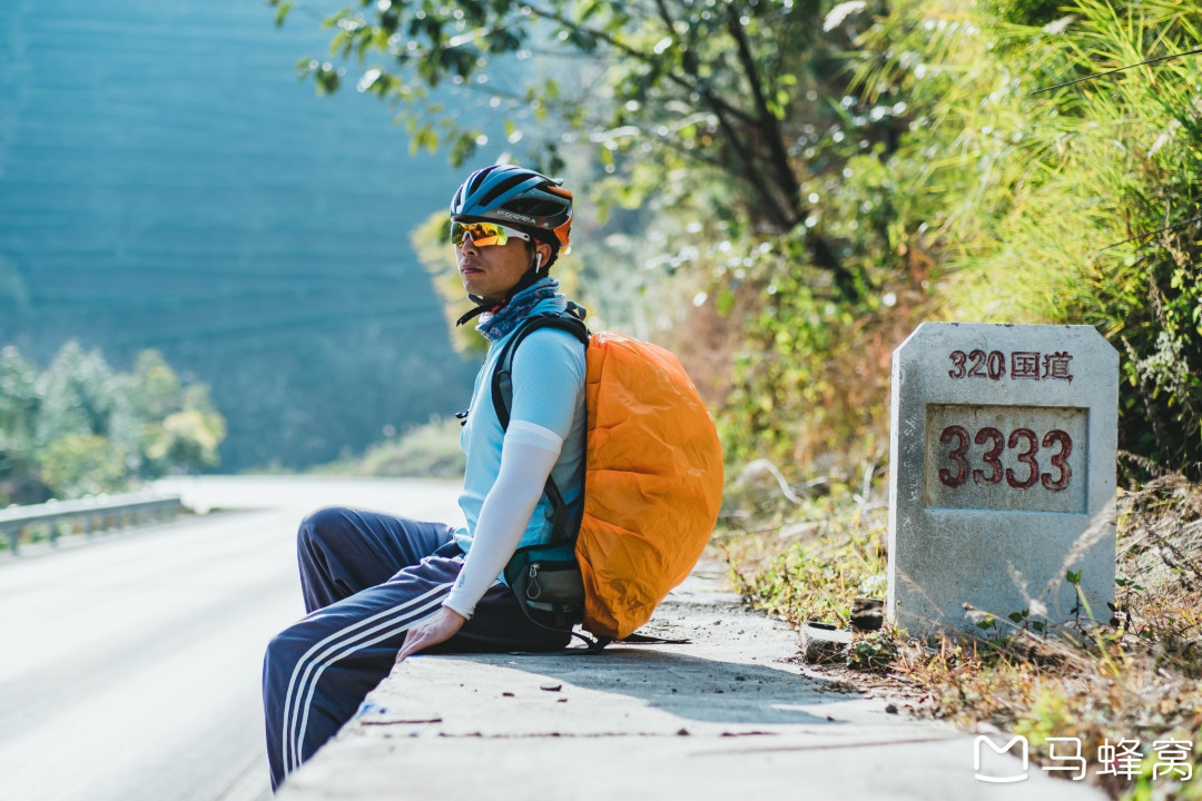
The only highlight was passing marker 3333 on the 320 National Highway. Over the years of cycling, I've developed a habit of taking photos with road markers that have nice, sequential numbers — I couldn't miss this one.
After descending, I reached the outskirts of Baoshan, where the rapeseed flowers were already blooming. Riding with the fragrance of rapeseed flowers, I followed a long, flat, straight road into Baoshan city center.
The outskirts of Baoshan were full of high-rise construction, making the entry into the city dusty and unpleasant. And awkwardly, in many Yunnan cities, unlike Chengdu where you can find restaurants on almost any street, I had to ride through several streets again today just to find a place to eat.
Day 5: The Hardest Day — Baoshan to Longling
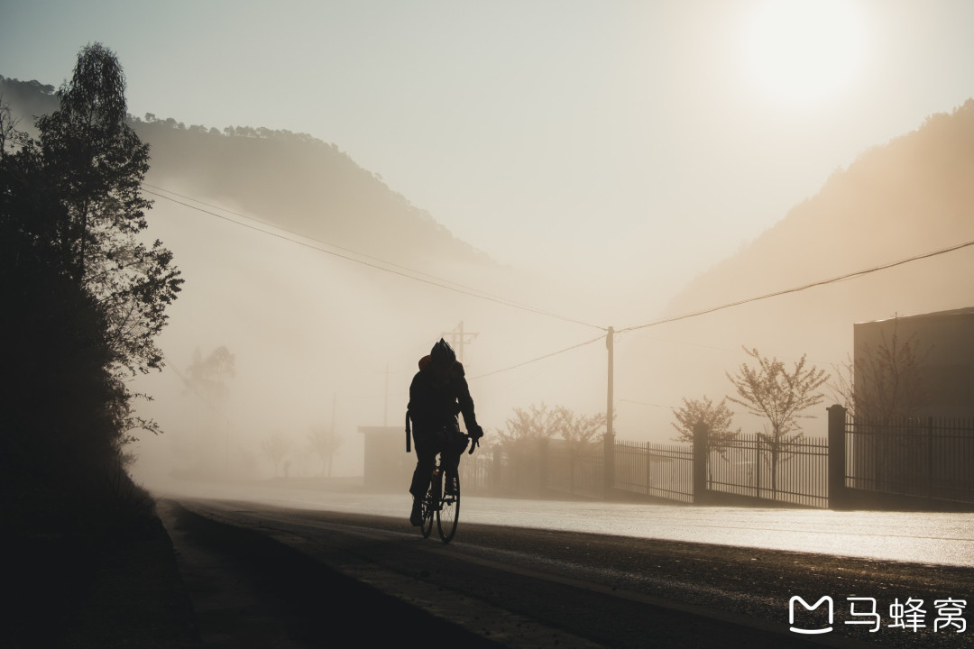
Setting off, I found my old friend, the 320 National Highway again. Just in time to see the sun rising over the distant mountains, casting my cycling shadow on the mottled walls. The surrounding countryside was still shrouded in mist — everything felt peaceful and natural.
Like yesterday, the day began with a climb. The gradient was still gentle, the road still winding, and my little yellow duck's propeller still spinning — business as usual.
The summit of the first mountain left little impression on me. The highlight of the downhill was a bird's-eye view of the rural scenery around Pupiao Town below. If it weren't for that stubborn haze that even post-processing couldn't fix, this spot could have produced some stunning photos — but alas.
Finally, I coasted down a long, straight downhill into Pupiao Town without pedaling once. The entrance was lined with sugarcane vendors, all lined up in a row to welcome you — quite impressive.
Even though it was only a little past 10 a.m., I decided to stop for a bowl of nourishing chicken soup rice noodles in town. Developing the habit of seizing every opportunity to eat rice noodles is essential for cycling in Yunnan. You never know how long the mountain roads ahead will be, how steep the climbs, or how far the next supply point is.
After leaving town, it was time to climb again. But after a short, gentle ride, there was another 13-kilometer downhill — just enough to digest that bowl of nourishing rice noodles. The morning's theme was "nourishing coasting," dropping altitude in preparation for the afternoon's "life-or-death" climb.
Coasting is fun until you have to climb again. The more nourishing the morning, the more brutal the afternoon. When I saw a long, intimidating uphill road below from the mountain, I inwardly resisted going down any further. But there was only one road ahead, no choice. All I could do was accept my fate and chase the last bit of wind.
With a "whoosh," I reached the bottom. Looking back at the road I'd just descended, snaking across the mountainside, I was grateful I wasn't going the other way.
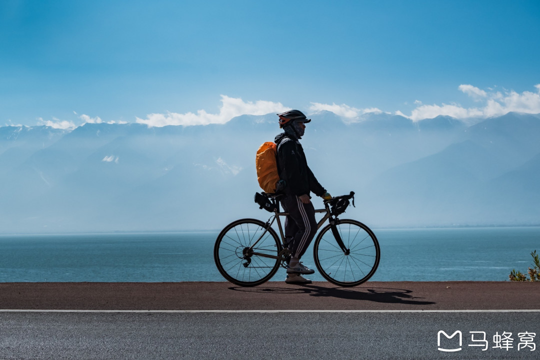
I rode casually to the Nujiang River Bridge, where I had to pass a border security check. By this point, I had dropped to the valley floor at an altitude of just 700 meters. Without any altitude stored up, I felt a bit uneasy.
The Nujiang River seen from the bridge was very wide. Since it was the dry season, most of the riverbed was exposed, and locals were driving beach buggies across it. Yunnan's Nujiang River was much gentler than the one in Tibet — less imposing, more graceful.
Now, the real show was about to begin. From the Nujiang River Bridge to Zhen'an Town was about 40 kilometers, with over 30 kilometers of climbing. Altitude needed to rise from 700 meters to over 1,900 meters. The entire afternoon would be spent on this mountain. Time to face the wind!
At one fork, the right turn led to the G556 National Highway, a direct route to Tengchong. But to get there, I'd still need to cross Gaoligong Mountain — no easy route either.
Sometimes surprise comes suddenly. Just when I was struggling on the climb, I saw a sign: "Continuous downhill for 6 km." But honestly, I didn't want to go downhill at this point — you know what I mean. The silver lining: the distance on the sign was wrong; it was only 3 kilometers. At the bottom, I looked up and saw a winding mountain road hanging above my head — you know what I mean.
It was a super-long switchback. After climbing up, I could see the road I'd just come from, giving the illusion of an aerial photo.
Because of this afternoon's ultra-long climb, today earned the title of the hardest day of the entire trip. Luckily, the gradient wasn't too steep. I just had to take my time, trading time for distance, climbing patiently without rushing.
Along the way, I passed marker 3456, but it was unfortunately behind a guardrail, leaving me very little room for a photo. When I reached this marker, I knew the toughest battle of this long-distance trip was won.
Of course, the "6 km downhill" turned out to be just as inaccurate as the previous sign. After the downhill came Zhen'an Town. If today felt too hard, Zhen'an could serve as a backup stop. But since it was still early, I decided to push on to Longling.
After Zhen'an Town came rolling terrain, with 20 kilometers to Longling County. After the cement plant, there were only 7 kilometers of downhill left to Longling.
Longling County looked much better than Baoshan. The streets were lively, the roads wide and smooth, and the trees and greenery along the streets were nice. I chose a luxurious "crossing-the-bridge" rice noodle (a Yunnan specialty) to end the day — and added a chicken leg.
Day 6: Bumping into Southeast Asia — Longling to Mangshi
If you've read my Guangxi cycling travelogue, you might have noticed the lack of aerial photos on this trip. Besides the unimpressive scenery along this route, there was another important reason: most of the cities I passed through had airports close to the city center, surrounded by no-fly zones. Longling and Ruili were exceptions, which gave me the few aerial shots I managed to get on this trip.
Today was the easiest day. From Longling to Mangshi, just 30 kilometers, almost entirely downhill. It was like spending all the altitude I had painstakingly saved up yesterday, with interest — pure comfort.
After passing the Dehong border gate, there was a 17-kilometer downhill. Along the way, I passed Peacock Valley, the only scenic spot on the route. But I didn't go in — why spend ticket money when I could save it for rice noodles? Haha.
Arriving in Mangshi, the temperature rose, and it felt like transitioning from spring to summer — the kind of warmth I love!
Mangshi finally looked different from the other cities on the route. The architecture had more exotic, ethnic flair, and I finally felt like I was traveling.
The main attraction in Mangshi is the Meng Huan Golden Pagoda. Located on Leiyarang Mountain in the city center, it sits high up, visible from many streets in the city. It's Mangshi's most iconic landmark. The road up Leiyarang Mountain is steep, requiring some effort to climb. Along the way, giant animal statues keep you company.
The Meng Huan Golden Pagoda is the largest pagoda in Dehong and the largest hollow pagoda in Asia. Its style is very similar to Southeast Asian pagodas, making you feel like you've cycled into Myanmar. Especially the five-headed dragon at the staircase, which instantly brought back memories of cycling through Laos.
The "golden" in Golden Pagoda is no exaggeration. Under the bright sun, it gleamed so brilliantly it could blind you. Looking up at the pagoda from close range made it feel even more grand. However, the pagoda grounds weren't very large. I walked around it twice, capturing it from every angle. Inside the pagoda was a large Buddha statue, but I chose not to enter — religion and faith aside, my main purpose was photography.
This attraction required a ticket, costing 40 yuan. What drew me most was the observation platform next to the pagoda. It offered the best panoramic view of the entire Mangshi city — just that alone made the ticket worth it.
However, the best spot to photograph the Golden Pagoda wasn't inside the pagoda grounds, but at the Silver Pagoda, a few hundred meters away. That ticket was also 40 yuan — perfect symmetry. I realized my photography needs were being perfectly exploited by these two attractions — no way to save that money.
To summarize: the best spot to photograph Mangshi is at the Golden Pagoda, and the best spot to photograph the Golden Pagoda is at the Silver Pagoda.
Entering the Silver Pagoda complex was like stepping into a world of white. The entire site was pure white in style, reminding me of the White Temple in Chiang Rai, Thailand — immaculate and pure. But in my opinion, the Silver Pagoda had less religious significance and historical depth. Its grounds were much larger than the Golden Pagoda's, designed more as an Instagram-ready attraction. It was perfect for posed photos. There were also props like "Sky Mirror" for tourists to use — for an additional fee, of course.
The Great White Pagoda stood on the highest platform of the complex, also offering a view of Mangshi city, but not as good as the Golden Pagoda's. There was an airport near Mangshi, and planes could be seen taking off and landing over the city from time to time. If I was lucky, I could capture a plane flying behind the Golden Pagoda. I waited an hour for that shot.
On the other side of the mountaintop, there was a view of Peacock Lake Wetland Park — a bonus angle offered by the Silver Pagoda.
After descending, I rode directly to the famous Tree-Wrapped Pagoda. To my surprise, it was in a parking lot — very rustic and down-to-earth. This kind of coincidence is also common in Southeast Asia, like the ruins in Angkor Wat or the tree-embraced Buddha head in Ayutthaya. Perhaps tropical climates make trees grow more vigorously.
After that, I wandered aimlessly through Mangshi's streets back to my hotel, ending a pleasant day.
Day 7: The Southwest Frontier — Mangshi to Ruili
Pagodas are common in Dehong. Even the roundabout at the exit of Mangshi city features a pagoda.
The sun was still lost in the thick fog when I stopped at a roadside stall on the Mangrui Highway for my first bowl of "lazy rice noodles" of the day. Meanwhile, Mangshi's serious cyclists had already started their morning training. Watching their figures fade into the distance, I felt that ordering another bowl of rice noodles would be inappropriate — so I slowly sipped my soup, packed up, and got ready to go.
In terms of climate, Mangshi is suitable for cycling year-round — I was envious.
Today was still easy, with no major mountains to cross and little scenery to speak of. After taking one lackluster photo of the landscape, I popped a White Rabbit candy into my mouth and switched to "lazy fish cycling mode."
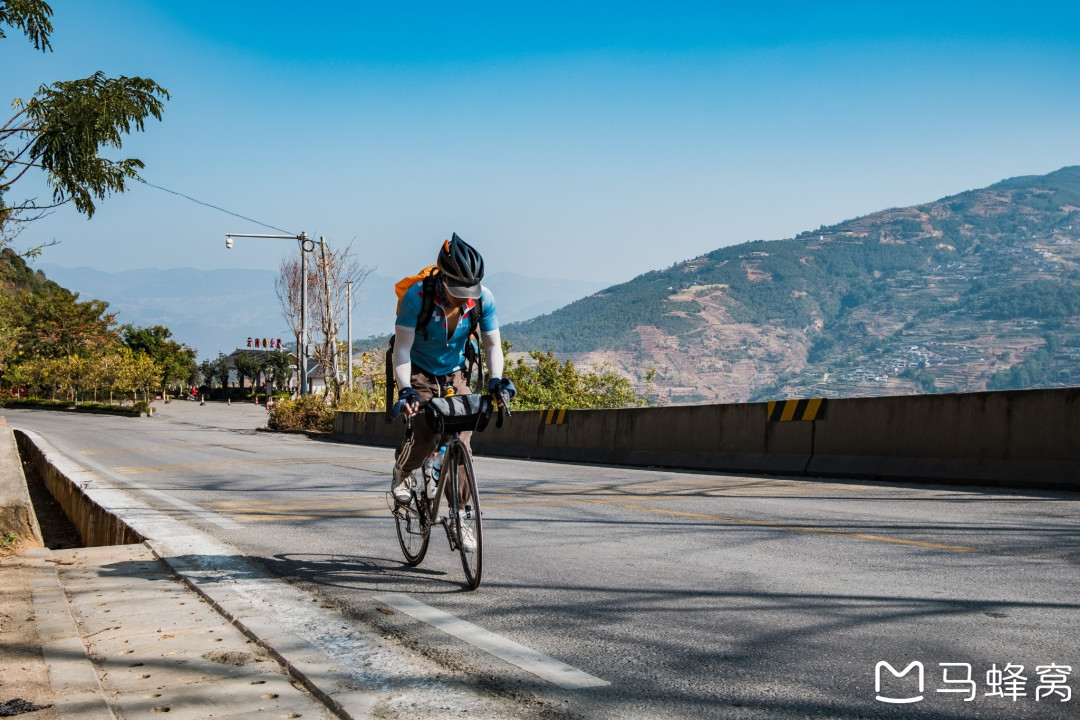
After crossing the first mountain of the day, I passed through Zhefang Town. If I had more time, I could have left the 320 National Highway and turned into Zhefang to see the "Tree-Wrapped Buddha" — similar to yesterday's Tree-Wrapped Pagoda, another marvel of nature.
Life and cycling are the same: the greatest happiness is getting what you want. I didn't ask for much, so it was easier to achieve. So I made a wish under the Buddha: may I never run out of White Rabbit candy (scratch that), may I never get a flat tire on this trip.
After that, I continued adapting to the ups and downs of the 320 National Highway, getting used to the heavy truck traffic and dusty environment. Luckily, the road was lined with trees, so it wasn't too hot.
The final 6-kilometer uphill brought me to Heishanmen Pass, a site of the Anti-Japanese War in western Yunnan. On January 20, 1945, Heishanmen was captured, and the enemy forces collapsed, fleeing toward Wanding. The Chinese army pursued and recaptured Wanding, marking the complete liberation of Dehong and the final victory of the great counteroffensive in western Yunnan.
At the bottom of the mountain was Wanding — a beautifully named place, meaning "the sun is directly overhead" in the Dai language. Wanding is the smallest border city in China and one of the smallest cities in the country, often praised as "the north has Wanping, the south has Wanding." Beyond that, it's also the starting point of the Stilwell Road and the Burma Road. With so many titles, it was very appealing to a road trip enthusiast.
As the description suggests, Wanding is indeed very small — I almost rode right through it. The only attraction was a border marker park. Cycling along the border road, Myanmar's mountains were right next to me, and many trucks with Myanmar license plates were on the road.
Wanding is about 25 kilometers from Ruili. This stretch wasn't easy to ride — too many trucks, and the road...
You should also read:
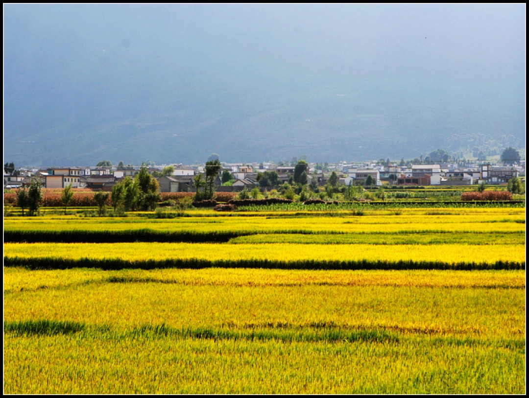
A 9-Day Yunnan Journey: From Lijiang to Dali to Tengchong – A Trip Toward Self-Reconciliation
A 9-Day Yunnan Journey: From Lijiang to Dali to Tengchong – A Trip Toward Self-Reconciliation Some say travel is simply going from a place you're tired of to a place other people are tired of. It stings to hear, but it's painfully true. Yet there's…
Continue reading...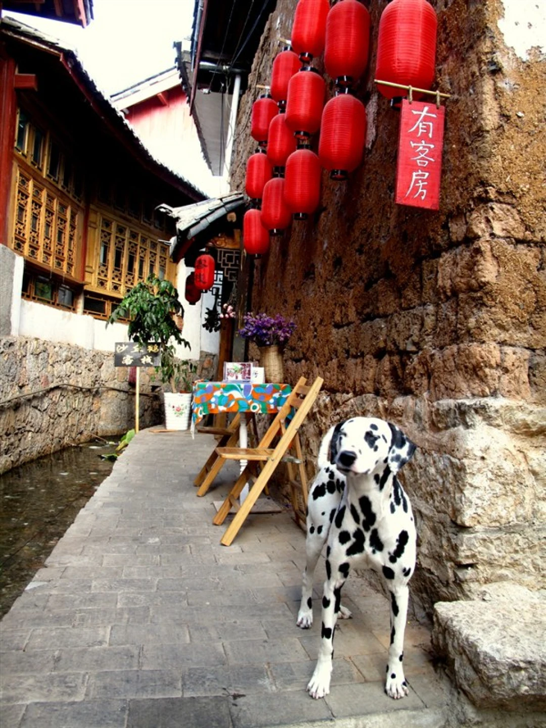
Yunnan Travel Mastery: From Beginner to Pro-Level Player – A Complete Guide
Yunnan Travel Mastery: From Beginner to Pro-Level Player – A Complete Guide "Either travel or read, but your body and soul must be on the road." This quote has been repeated countless times, but very few people truly manage to be "on the road" and…
Continue reading...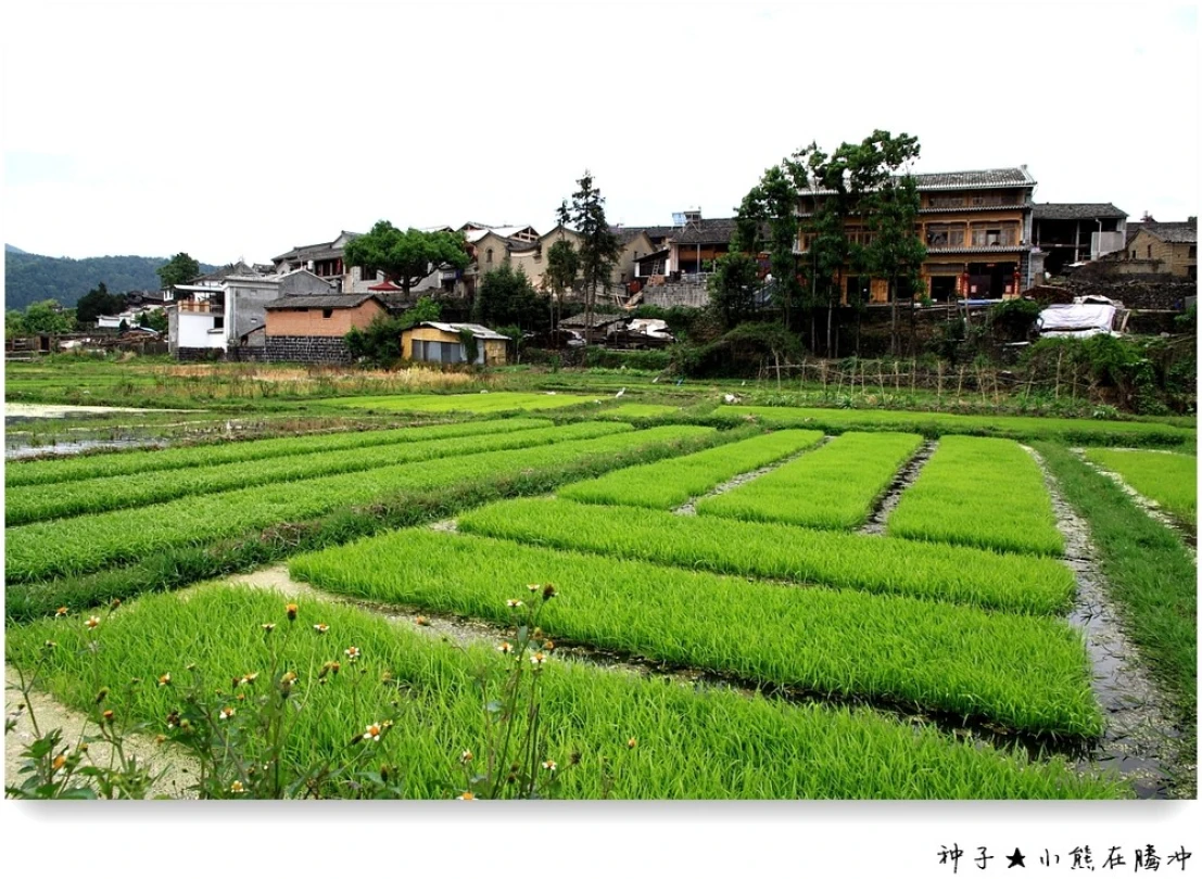
Tengchong·Heshun: Finding Life as It Should Be in a Border Town Where Time Stands Still
Tengchong·Heshun: Finding Life as It Should Be in a Border Town Where Time Stands Still The long journey of over twenty days was over. On my first day back at the office, I was still in a daze. My fingers couldn't find the keys on…
Continue reading...