Tracing Shangri-La: Through the Hidden Realm of Niru, Toward the Unknown Road to Lugu Lake
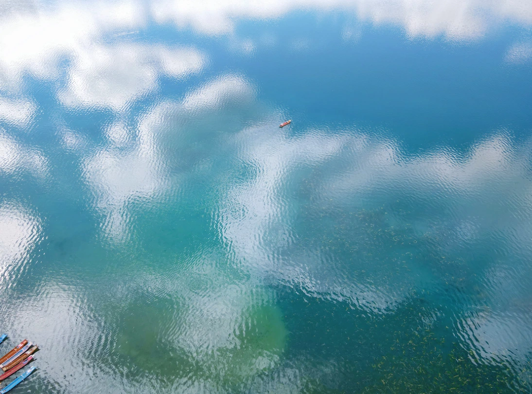
Tracing Shangri-La: Through the Hidden Realm of Niru, Toward the Unknown Road to Lugu Lake
From Botanist to Explorer: The Birth of a Name
In 1922, a plant collector named Joseph Rock set foot on Yunnan's soil, originally seeking rare botanical specimens. But once he stepped into Lijiang, his identity quietly transformed—from a meticulous botanist into a geographer-explorer captivated by the wilderness.
Rock documented Yunnan's majestic mountains and rivers through his lens and writings. These illustrated travelogues crossed the ocean and eventually landed on the desk of British author James Hilton. Hilton absorbed these materials almost wholesale, and in 1933 published the profoundly influential novel Lost Horizon.
In the novel, he borrowed the concept of "Shambhala" from the Buddhist Kalachakra Sutra, creating an entirely new word: "Shangri-La." The term spread rapidly across the world, igniting countless people's longing for an ideal land.
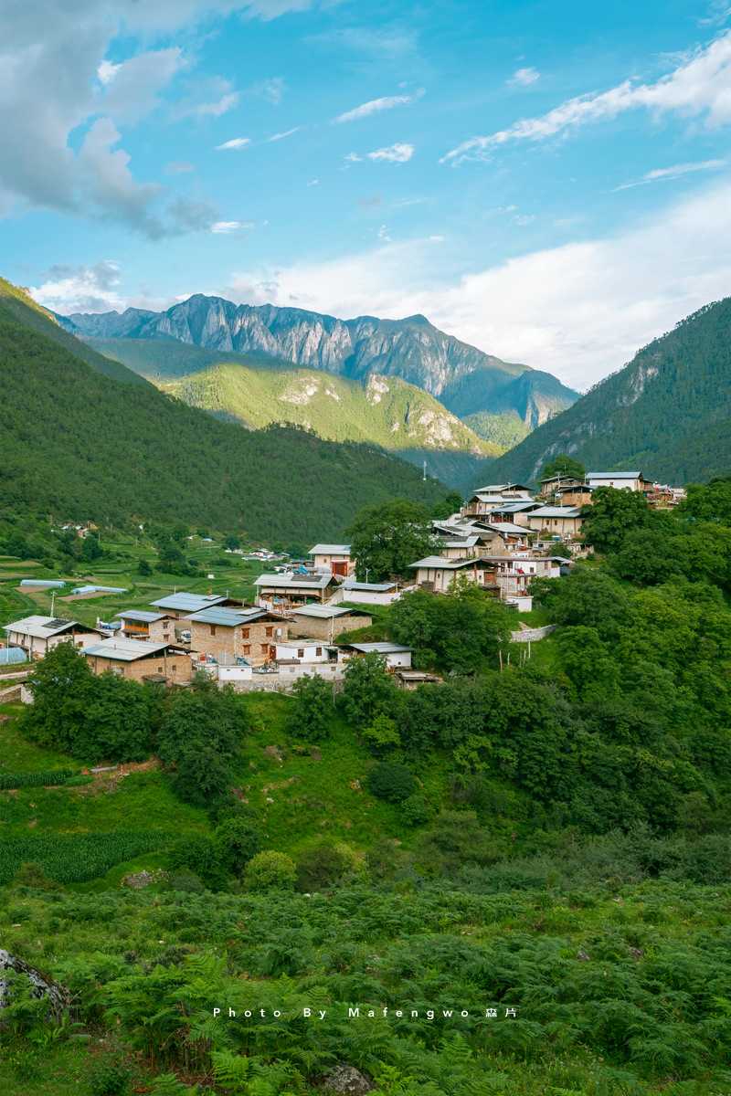
In Hilton's vision, Shangri-La was a place of jade-green meadows, mirror-like lakes, and golden temples. Everything was immersed in serene joy. Its inhabitants lived long lives in harmony with nature, their existence wrapped in layers of happiness. There were snow-capped mountains and deep valleys, quiet lakes surrounded by forests, skies pure and washed clean, and warm, hospitable people. It was a sacred religious ground, a paradise on earth.
Hilton wrote: "Here are holy snow mountains, wildflowers everywhere, herds of cattle and sheep wandering freely, and rushing waterfalls dancing. Here, the sun and moon come to rest in your heart."
From then on, "Shangri-La" became synonymous with utopia, earthly paradise, Eden. In English, it means "a distant and enchanting place"; in French, "a fairyland on earth"; in Spanish, "heaven"; in Chinese, "a land of peach blossoms beyond the mortal world"; and in Tibetan, "the sun and moon in the heart."
It represents a beautiful world, a pure land far from the dust of ordinary life—a memory of ancestral homelands, the purest form of the world.
Collision of Continents: The Birth of the Hengduan Mountains
Where exactly is Shangri-La? This hidden world tucked among snowy peaks and deep valleys has long been a subject of debate.
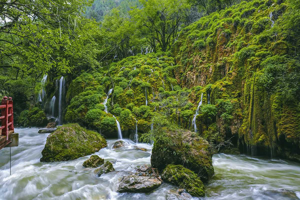
To trace Shangri-La, one must look to a particular region—the Hengduan Mountains. This is where China's most concentrated and extreme natural landscapes are found.
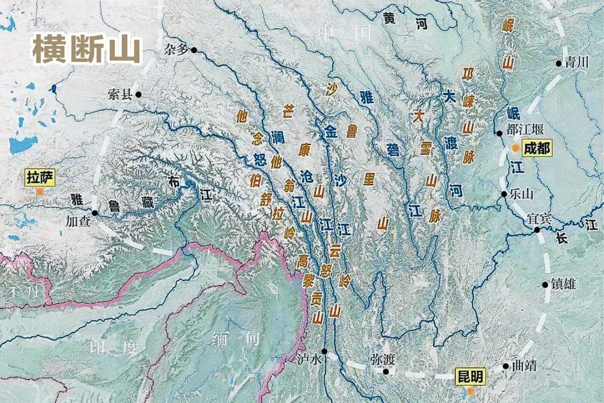
Sixty-five million years ago, the Indian Plate collided violently with the Eurasian Plate, causing the Qinghai-Tibet Plateau to rise dramatically and the Himalayas to thrust upward. The southeastern edge of the plateau was also intensely deformed in this geological upheaval. The earth swelled, fractured, and folded, eventually squeezing out seven parallel mountain ranges. Packed within a span of just 700 kilometers, these towering peaks and deep gorges cut off east-west passage—hence the name "Hengduan," meaning "transverse barrier."
The greater Hengduan region encompasses western Sichuan, northern Yunnan, eastern Tibet, southern Qinghai, and small parts of Gansu and Guizhou. It is a unique geographical unit: alternating high mountains and deep valleys, range after range linked together, with six major rivers flowing side by side from west to east—the Nujiang (Salween), Lancangjiang (Mekong), Jinshajiang (upper Yangtze), Yalongjiang, Daduhe, and Minjiang.
The Hengduan Mountains stretch from north to south, crossing temperate, warm-temperate, subtropical, and tropical zones. The average elevation of the north-south ridges ranges from 4,000 to 5,000 meters. Ice and fire collided, reshaping the land—creating bottomless gorges and raising countless peaks. The seven ranges and six rivers together carved this million-square-kilometer territory into the Shangri-La we know today: sacred snow mountains, profound gorges, fertile meadows, cascading waterfalls...
Three Parallel Rivers: Shangri-La Within a Geological Marvel
On the western side of the Hengduan Mountains, three great rivers—the Nujiang, Lancangjiang, and Jinshajiang—flow south from the Qinghai-Tibet Plateau. For 170 kilometers, they run in parallel at the junction of Sichuan, Yunnan, and Tibet. This area is known as the "Three Parallel Rivers." Here, mountains and rivers align in tight, longitudinal formation. The shortest distance between any two rivers is less than 19 kilometers. They flow side by side but never converge—a geological wonder.
Where exactly, within the vast Hengduan range, does the Shangri-La that people seek lie? This has become an enduring question. As the veil over the Hengduan Mountains has gradually lifted, one fairyland after another resembling Shangri-La has emerged. In truth, if any part of the entire Hengduan range can be called Shangri-La, then nowhere is not Shangri-La.
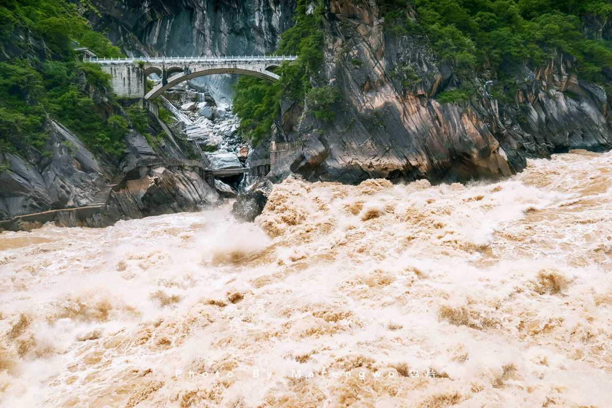
According to Hilton's description, Shangri-La is located in the Tibetan region on the southeastern foothills of the Himalayas. Attention turned to the Diqing Tibetan area in northwestern Yunnan, bordering Tibet. Through extensive fieldwork, historical research, and documentary verification—drawing on literature, ethnology, religious studies, geography, Tibetan studies, and cultural studies—scholars confirmed that this region bears remarkable resemblance to Hilton's depiction of Shangri-La.
More and more people came to believe that Hilton's creative inspiration came directly from the detailed accounts of the Diqing Tibetan area written by Joseph Rock, Alexandra David-Néel, and others.
In 1997, the Yunnan provincial government officially announced: "The final destination of the Shangri-La search is in Diqing, Yunnan." On December 17, 2001, with State Council approval, Zhongdian County in Diqing Prefecture was officially renamed Shangri-La. In 2004, the three provinces of Sichuan, Yunnan, and Tibet reached a consensus to create a "Greater Shangri-La" region centered on Garzê in Sichuan, Diqing in Yunnan, and Chamdo in Tibet. The core area roughly covers the Three Parallel Rivers region of the Hengduan Mountains, centered on Diqing. With that, the dispute over Shangri-La was settled.
Diqing, in Tibetan, means "an auspicious and blessed place." Almost all of Yunnan's peaks above 5,000 meters are found here. The region is known as a natural alpine garden, a kingdom of animals, and a gene bank of plants. High mountains and deep gorges, snowy peaks and glaciers, forests and meadows, lakes and waterfalls... It is one of the most landscape-rich regions on Earth.
Our Route: Centered on Niru, Crossing the Shangri-La–Lugu Lake Corridor
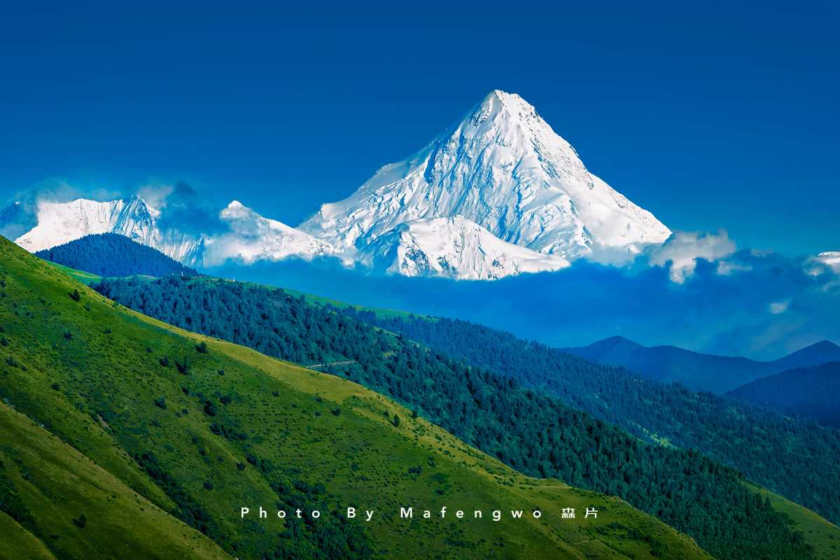
This was our second self-driving trip through Yunnan. The first took us to Wenshan in the southeast. This time, we set our sights on Diqing in the northwest corner. After gathering once again in Kunming—a journey of thousands of kilometers—our path to trace Shangri-La focused on the lesser-known Niru as the highlight. We also planned to take a road that doesn't appear on any navigation map: crossing through to Lugu Lake, completing the Shangri-La–Lugu Lake corridor.
Considering time constraints and the rainy season, we skipped Meili Snow Mountain, Yubeng, and Baishuitai—places most visitors to Diqing go to, but which aren't ideal for July travel.
July through September is the rainy season on the Diqing Plateau. The scenery is beautiful, but travel is challenging. Whether we could complete the journey smoothly depended entirely on the weather—perhaps storms along the way, perhaps sunshine all the way. If you have flexible time, the best periods to visit Shangri-La are April to June and September to October. During these windows, besides being suitable for self-driving and hiking, you can also enjoy views of the snow mountains. In late spring and early summer, temperatures are moderate, and the meadows are covered in a dazzling array of flowers. Around twenty days after the Mid-Autumn Festival, the plateau is bathed in autumn colors—the most spectacular moment on the Diqing Plateau.
Passing Through Kaili: The Unexpected Delight of Xiasi Ancient Town
Before rushing to Kunming, we stopped at Xiasi Ancient Town in Kaili, southeastern Guizhou. We chose it purely for its proximity to the highway exit—just two kilometers off the expressway. Once we arrived, we discovered a leisurely and peaceful little town.
The Yuan River, which originates on the Yunnan-Guizhou Plateau, is known as the Qingshui River in its upper reaches. The ancient town sits nestled between lush green mountains and sparkling blue waters. I first learned about Xiasi because of its dog breed—the Xiasi dog, with red eyes, red nose, and red ears. Known for its running speed, endurance, and explosive power, it's a natural hunting prodigy. It's China's only world-class hunting breed, ranking third among famous dog breeds worldwide.
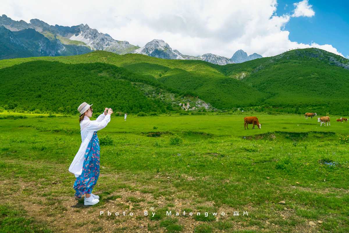
A water and land thoroughfare connecting Guizhou, Hunan, and Sichuan, the town has enjoyed six centuries of Qingshui River elegance. During the Jiaqing reign of the Qing Dynasty, Xiasi was officially established as a commercial port, and by the Republican era, it had developed into a bustling market town. Travelers passing along the river would dock here to rest and resupply, creating a vibrant mix of cultures and a gathering of merchants. Canoeing and dragon boat racing are traditional activities on the Qingshui River, and Asia's best whitewater slalom training base is located here.
The town's main street was once the largest commercial dock and trading hub along the Qingshui River. In those days, caravans of mules crowded the area, and shops, warehouses, guild halls, and restaurants lined the streets. Xiasi's architecture is a diverse mix—Western, Jiangnan, Huizhou, Southern Fujian, and Miao-Dong styles can all be found. Lusheng Square, also known as Bronze Drum Square because of its copper-drum patterned decorations, is the heart of the old town. On the south side of the square stands an ornately decorated ancient stage.
For dinner, we ordered a pot of sour fish hotpot (suantang yu) at a small restaurant beside the stage. The broth was tangy and rich, the fish tender. After the meal, a bowl of blueberry ice jelly (lanmei bingfen) was wonderfully refreshing. In the early morning, Xiasi's river was as still as a mirror, a perfect landscape painting. Huizhou-style gables and tiled roofs mixed with Miao-Dong stilted houses lined the riverbank, preserving an ancient charm.
Once we entered Yunnan, the rain became noticeably heavier. We encountered several torrential downpours along the way. After 5,000 li (2,500 kilometers), we arrived safely at our assembly point in Kunming, and the weather began to improve. We hoped for good luck—after all, in Yunnan's rainy season, successfully completing a cross-country route depends on the heavens' favor.
Erhai Lake: Clouds Floating Over Cangshan, Wind Carrying Across Erhai
From Kunming to Lijiang, we deliberately avoided the expressway the whole way. We got off at the Dali exit to drive along Erhai Lake. On the Yunnan-Guizhou Plateau, where the earth's crust has subsided, water accumulates to form lakes, creating numerous plateau lake clusters. We had already visited Dianchi Lake and Fuxian Lake. This journey began at Erhai and would end at Lugu Lake.
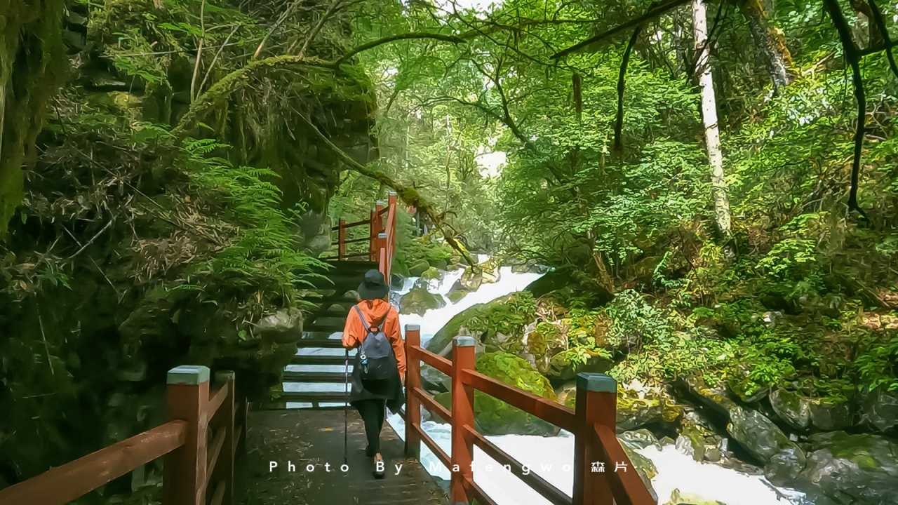
Erhai is Yunnan's second-largest freshwater lake. Because the area is landlocked, the Bai people, expressing their longing for the sea, call it a "sea" (hai). The original lakeside road stretched over 120 kilometers, connecting picturesque villages and quaint towns, unfolding Erhai's scenery like a scroll along the way. However, 50 kilometers of the western shore have now been restored as an ecological corridor, closed to motor vehicles. So the section from Wenbi Village through Wase to Shuanglang is the highlight of the self-driving route along Erhai's eastern shore.
Parking spots along Erhai are scarce. Colorful rental sports cars often stop to take photos, blocking the road. Many beautiful scenes are visible but hard to stop for. Across from a restaurant, at the end of a grove of trees, was a great spot for playing in the water—also a popular location for wedding photos. The midday sun was too strong, so we could only capture silhouettes.
On Erhai's western shore, the Chongsheng Temple sits at the foot of Cangshan Mountain. Against a backdrop of layered民居 (traditional houses) and lush green trees, the Three Pagodas of Dali appear even more elegant. In Jin Yong's novel The Demi-Gods and Semi-Devils, this is called "Tianlong Temple." Historically, many Dali kings retired here to become monks. The most famous are the fifteenth ruler, Duan Zhengchun, and the sixteenth, Duan Zhengyan—better known as Prince Duan and Duan Yu. After a thousand years, the pagodas are no longer perfectly vertical: the Qianxun Pagoda and the small northern pagoda lean southwest, while the small southern pagoda leans northeast. Also unusual is that while Buddhist pagodas typically have an odd number of tiers, the Three Pagodas of Chongsheng Temple—classic Buddhist structures—have an even number, which is quite peculiar.
Lijiang: Slow City Time, Rain-Spun Flower Alleys
We arrived in Lijiang in the evening. The old town actually includes the Dayan Ancient Town, Shuhe Ancient Town, and Baisha Ancient Town. What people usually call "Lijiang Old Town" generally refers to Dayan—a famous Chinese historical and cultural town that is the only one without city walls. The reason, it's said, is that the hereditary ruler of Lijiang was surnamed Mu (木, meaning "wood"). Building a wall around the city would enclose the character "木" within a frame, creating "困" (meaning "trapped" or "difficult"). Today, it could be said that the city welcomes visitors from all directions with an open and inclusive attitude.

The hotel we stayed at was behind the Sifang Temple parking lot, convenient for parking and not far from Zhongyi Market. From the hotel's rooftop terrace, we could see Lion Hill and Wangulou, with the misty silhouette of Jade Dragon Snow Mountain in the distance. In my memory, Lijiang had always been tagged with labels like "daydreaming," "healing," and "romance." Upon arriving, I realized its beauty lies in its得天独厚 (uniquely favorable) environment—the Jinsha River on the outskirts, Jade Dragon Snow Mountain in the middle, and the Lijiang Basin forming the inner ring, creating a three-dimensional landscape. The snow mountain is only 15 kilometers from Lijiang—close enough to be imposing, far enough not to require looking up. Getting close to the snow mountain is perhaps people's first impression of Lijiang.
During the day, Lijiang's buildings appear uniformly gray. But as night falls, the city becomes dazzling and dreamlike, as if a stage play has begun, and everyone becomes an extra. The old town's nightlife is incredibly rich. Before the sun has even set behind the western mountains, the streets are already lit with lanterns. The curtain rises, the lights come on, the fog machines start—let the performance begin.
Yunnan has an abundance of flowers and plants, and Lijiang accounts for a third of them. Everyone seems passionate about greenery and blooms, making the old town a vast garden. Surrounded by flowers, the faces of young women beam with smiles. This main street is called Dayan Flower Alley, the largest cultural-commercial-tourism complex in the old town and a popular photo spot. A gentle breeze carries the rain, and people stroll leisurely, their mood unaffected by the weather. Shops and residences have bridges at their doors or streams behind their houses. Narrow waterways wind through the streets and alleys, flowing around walls and through courtyards.
The Big Waterwheel is the old town's iconic landmark. A pair of waterwheels, one large and one small, turn day and night on the Yuhe River. In the evening, the Cherry Blossom Restaurant (Yinghua Canting) is beautiful enough to be a tourist attraction itself. Young women pose among the flowers, capturing romantic scenes. In the drizzly mist, the restaurant's long corridor appears even more hazy and atmospheric. We walked as far as the Guanshui Gate, where the rain became heavier, forcing us to call it a night. I had just said there were no city walls—so what was this? Just a stone gate.
Jade Dragon Snow Mountain: Mountain Reflected in a Pool, Valley Embedded with Blue Moon
We had planned to visit Black Dragon Pool Park early in the morning, but it wasn't open yet, so we went to Qingxi Park first. The park is actually a reservoir. On a clear day, you can see the reflection of the thirteen peaks of Jade Dragon Snow Mountain, arranged like a dragon from north to south. Today, clouds hung horizontally, making it hard to see the mountain's full form.
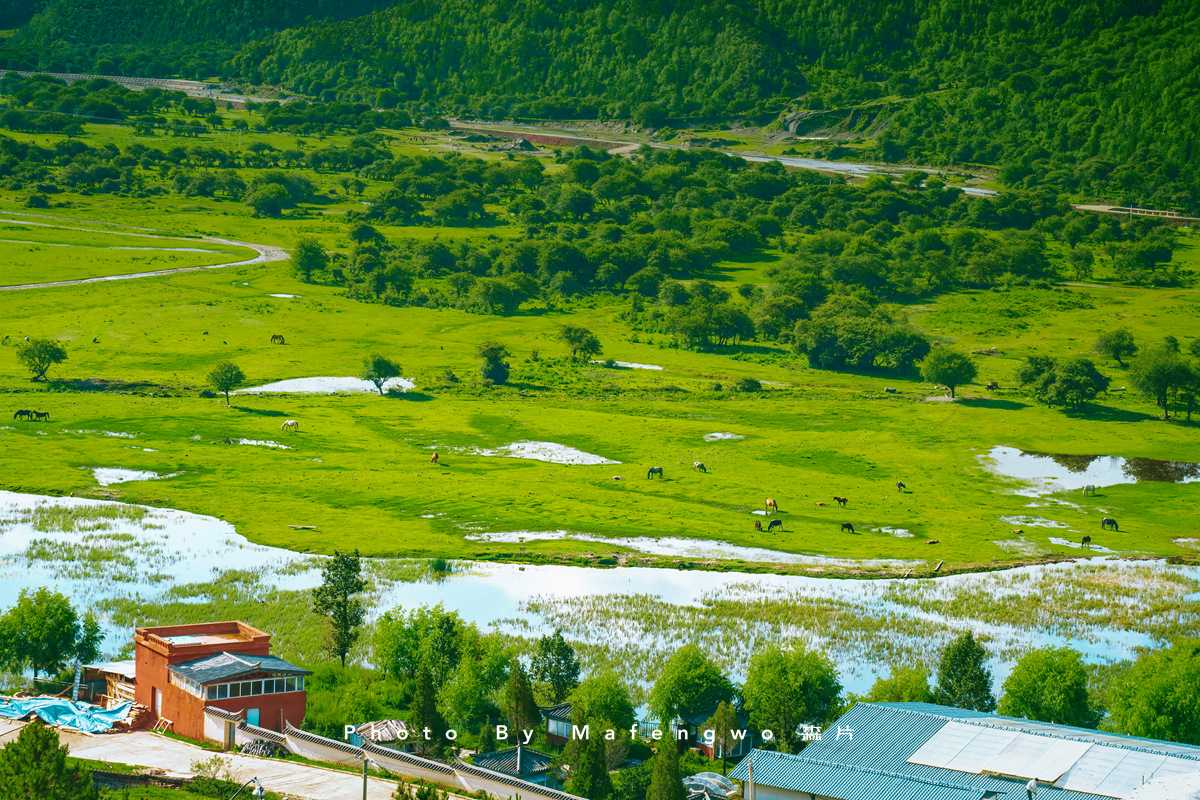
Jade Dragon Snow Mountain, located at 27° north latitude, is the southernmost easily accessible snow mountain in Asia. Hidden in the clouds is the main peak, Shanzidou, at 5,596 meters, which still retains several modern glaciers. We returned to Black Dragon Pool Park. It's now free to enter, but opening at 7:30 AM is not very visitor-friendly—sunrise typically illuminates Jade Dragon Snow Mountain before 7 AM. Jade Dragon Snow Mountain is the sacred mountain of the Naxi people, while Black Dragon Pool is considered holy water, the source of Dayan Old Town's river. With both mountain and water, it's the perfect place to see the snow mountain's reflection. The spot beside the Suocui Bridge, just inside the park's south gate, offers the best postcard view. The majestic Jade Dragon often has drifting clouds around its peak. If you have time, you can also climb Elephant Hill within the park for a panoramic view of Lijiang Old Town from above.
On the road to Jade Dragon Snow Mountain, you can see the mountain guiding the way from the city. There are three routes up the mountain: the Glacier Park cable car (large cable car) is 3 kilometers long, a sealed six-person gondola, ascending from 3,356 meters to 4,506 meters—a 15-20 minute ride one way, followed by a walk to the 4,680-meter monument; the Yak Meadow cable car (medium cable car) is 1.2 kilometers long, an open two-person gondola, reaching 3,500 meters—under 10 minutes one way, offering close views of the snow mountain; the Spruce Meadow cable car (small cable car) is 1 kilometer long, a two-person gondola, reaching 3,000 meters—under 10 minutes one way, offering distant views of the snow mountain.
The snow-covered Jade Dragon Snow Mountain of my imagination had, in reality, become a large construction site. Although the previous night's rain in the old town had brought a dusting of snow to the summit—a thoughtful gesture from the heavens. In summer, without snow, the mountain isn't a must-see. Better to spend more time at Blue Moon Valley.
Blue Moon Valley is a crescent-shaped valley on the south side of Spruce Meadow, on the eastern foothills of Jade Dragon Snow Mountain. It looks like a blue moon embedded at the mountain's base. The ancient snow and ice of the glacier melt, flowing down the cliffs, gathering into mountain streams and creeks, eventually forming a crystal-clear, sweet river in the upper reaches of Blue Moon Valley. Because the riverbed is made of white limestone, the entire river takes on a white, pure luster, hence its other name: White Water River (Baishui He). Copper sulfate contained in Jade Dragon Snow Mountain turns blue when it meets melting snow, so the water in Blue Moon Valley is not drinkable. As the river flows, it encounters obstacles, forming four lakes, named "Jade Liquid," "Mirror Pool," "Blue Moon," and "Listening to the Waves." The water appears blue-white up close and azure from a distance.
Baisha Ancient Town and Yuhu Village: Time Slows Down
Before entering Baisha Ancient Town, we tried a bowl of chicken rice noodles (tuji mixian) at a small shop at the intersection outside town. The owner claimed 20 years of expertise, and they were indeed delicious. Baisha Ancient Town is the birthplace of the Mu clan's rule over Lijiang, the ancient capital of the Naxi people. Before the Song and Yuan dynasties, it was the political, economic, commercial, and cultural center of Lijiang. The town's center is called Sifang Street (Square Street), which was once a bustling market hub. It can be considered the "mother town" of Shuhe Ancient Town and Dayan Ancient Town—they adopted Baisha's planning model and also named their town centers Sifang Street, meaning "connecting in all directions, authority over the four quarters." On the south side of Sifang Street stands a two-story archway, with a plaque reading "World Cultural Heritage: Capital of the Ancient Naxi Kingdom." Beyond the archway to the south are peaceful, quiet Naxi homes, some of which have been converted into various small shops and workshops.

"Horses and carriages were slow, letters were far away." At the North Post Office, you can send a letter to your future self. Walking through the old streets, you feel time slow down—the sky is so blue, the snow mountain so majestic, the dogs so lazy and carefree. The entire ancient town is as simple and serene as an elderly Naxi person. After a thousand years and past glory, what remains is a sense of languor and detachment in the sunshine. The town sits quietly at the foot of Jade Dragon Snow Mountain, continuing to tell Naxi stories to visitors. Many vibrant, unique shops line the streets, some run by foreigners who have settled here. Like Rock, they have fallen in love with this place.
When the weather is clear, the snow on Jade Dragon Snow Mountain behind us melts quickly—sometimes hidden by clouds, sometimes gone when the clouds disperse. During the rainy season in Lijiang, the weather is incredibly changeable: under the sun it's summer, a breeze makes it spring, rain turns it to autumn, and wind and rain together bring winter.
Leaving Baisha Ancient Town, we continued north to Yuhu Village. The roadside scenery was reminiscent of the foothills of the Tianshan Mountains in northern Xinjiang. Yuhu Village, also called Xuesong Village, sits beneath Jade Dragon Snow Mountain. Joseph Rock lived here for an extended period. "Wuluken, a beautiful small village, lying on the slope of the snowy Lijiang mountain range, the main peak of which is fan-shaped, like a guardian god," Rock wrote. Wuluken is Yuhu Village. Although not as famous as Dayan Ancient Town, Yuhu Village is the birthplace of the Naxi Mu clan—the Mu clan developed from here to Baisha Ancient Town, and later to Dayan Ancient Town, where the Mu Mansion was built.
Longnv Lake (Dragon Maiden Lake) is a lake at the foot of the snow mountain. Though man-made, it is no less beautiful against the backdrop of the snow mountain, meadows, and shifting clouds and light. The reflection of the lake, with Jade Dragon Snow Mountain behind it, would be even more stunning if covered in snow.
Dayan Ancient Town: A Maze of Streets, Dreamlike Nights
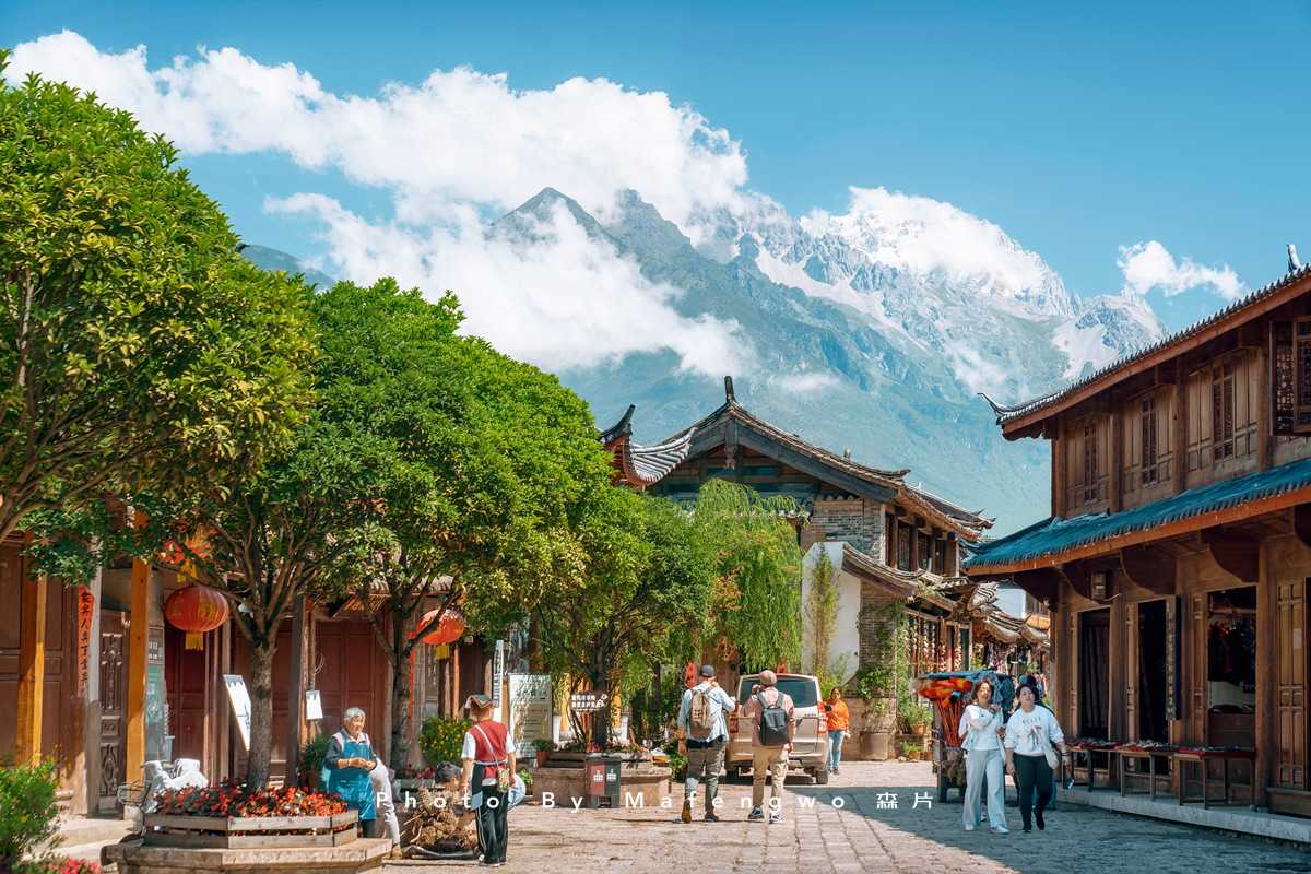
Returning from Yuhu Village, we still had time, so we went out to properly explore the maze of streets and alleys we hadn't quite figured out the previous night. A Drop of Water Passing Through Lijiang is a beautiful essay that has been included in middle school Chinese textbooks. Dayan Ancient Town was built in the late Song and early Yuan dynasties, over 800 years ago. The old town has a well-connected road network but no formal streets, a grand Mu Mansion but no imposing city walls, an intricate water system, and rows of closely packed houses. For first-time visitors, it's helpful to have a mental map to avoid getting lost—phone navigation isn't always reliable.
Without rushing, without a fixed plan, wandering wherever you end up is the best way to experience Lijiang Old Town. On the walls are carved Dongba pictographs created by the Naxi people, characterized by their strong pictorial quality—one character represents one object, one thing, or one idea. There are about 2,200 Dongba characters, known as a "living fossil" of writing.
"Tianyu Liufang"—at first hearing, it sounds like a meteor shower passing by, but it's actually a Naxi transliteration meaning "Go study." In Chinese, it means "heavenly rain brings fragrance," implying rain nourishing all things. A single phrase with two meanings, conveying the joy of reading—the nourishment of the mind through study, like rain bringing grain to maturity, allowing the soul to bathe in the fragrance of wisdom, experiencing happiness and peace. If you have children, remember to encourage them when passing under this archway.
During the day, the bar street lacks its neon-lit nightlife, replaced by an abundance of flowers. The streets in the old town are all paved with stone slabs, which have become more charming with age, especially when bathed in slanting sunlight or washed by rain. Sifang Street is equivalent to a modern city's central commercial square, with streets radiating in all directions, connecting goods from everywhere. In the evening, Naxi people gather here to dance, a tradition they call "dajumping" (da tiao). Tourists join in, singing and dancing along—simple and joyful. Sifang Street connects to major thoroughfares like Qiyi Street, Wuyi Street, East Street, Xinhua Street, and Guangyi Street. If you get lost in the old town, just return to Sifang Street, and you can start your exploration anew.
For a panoramic view of Lijiang Old Town, besides Wangulou on Lion Hill, there are also Wenchang Palace and the "Eye of Lijiang." The large viewing platform in front of Wenchang Palace offers a bird's-eye view of the old town—best visited just after dusk when the lights are first lit. There are endless folk songs and countless Lijiang stories to be heard. First, dinner—the most common restaurants in the old town are probably those serving preserved rib hotpot (la paigu huoguo). Then, as the lights just come on, explore the old town during its most beautiful blue hour. Otherwise, night always seems to fall too quickly, and you'll regret not savoring the time more.
Lijiang Old Town has 354 bridges. The most famous is the Big Stone Bridge (Dashi Qiao). Because the reflection of Jade Dragon Snow Mountain can be seen under its arch, it's also called the Snow Reflection Bridge (Yingxue Qiao). On the bar street, music blares, lights flicker, glasses clink—young people let loose here.
Tiger Leaping Gorge: The Roar of the Jinsha River
Bidding farewell to Lijiang and heading toward Shangri-La, we made a detour to the First Bend of the Yangtze River. The Jinsha River, one of the three parallel rivers, flows through Shigu Town in Lijiang. Blocked by mountains, it makes an abrupt Ω-shaped turn from south to north, heading northeast—as if it suddenly remembered it couldn't keep playing with the other two rivers; it had the responsibility of nurturing Chinese civilization as its mother river. This great awakening created the beautiful First Bend of the Yangtze. Otherwise, it might have flowed out of the country like the Nujiang and Lancangjiang, becoming a foreign river.
And so, the Jinsha River bid farewell to the Lancangjiang and Nujiang. Passing through Shigu Bend, Yulong Bend, and Yongsheng Bend, looking back again and again, it finally gathered the Yalongjiang and Minjiang and headed east. At Yibin in Sichuan, it changed to a more illustrious name—the Yangtze River. A viewing platform has been built beside the road, but if you want a higher vantage point without a drone, the best spot isn't here. It's on the hill behind a restaurant called Yiwan, about one kilometer before reaching Shigu Town.
We passed through Hongqi Village in Tiger Leaping Gorge Town—the first Tibetan village in Yunnan, a mixed settlement of Yi and Lisu people, at an elevation of 3,200 meters. The impatient Jinsha River, after the First Bend, turned north again and forced its way through the narrow gap between Haba Snow Mountain and Jade Dragon Snow Mountain, carving out a 20-kilometer-long gorge. The narrowest point is the famous Tiger Leaping Gorge.
In fact, the Jinsha River existed here before the snow mountains rose. The mountains were originally a single mass. As they uplifted, the river continuously cut downward, eroding the deep gorge and splitting the mountain into Jade Dragon and Haba. This type of gorge, where the river existed before the crustal uplift, is called an "antecedent river gorge." The narrow river, steep rocky banks, and countless obstacles force the water to surge through with a roar like a tiger's howl echoing for miles. The river surface is at 1,800 meters elevation, while both snow mountains exceed 5,000 meters, giving the gorge a maximum vertical drop of 3,700 meters. A huge boulder lies in the middle of the river, with the torrent rushing past on both sides, creating a thunderous sound. Legend has it that a tiger could leap across the gorge using this boulder as a stepping stone, hence the name Tiger Leaping Gorge.
Continuing on, Xiaozhongdian is a small town along the national highway, a cold highland basin with vast, lush pastures. From May to June each year, this area becomes a sea of flowers—colorful rhododendrons, cosmos, irises, and countless other wildflowers line the roadside. By September to October, cosmos and Stellera chamaejasme take over. We came in mid-July, so we could only see a few scattered, fading rhododendrons.
Songzanlin Monastery and Napahai Lake: A Symphony of Faith and Nature
Songzanlin Monastery is a grand, castle-like architectural complex, the largest Tibetan Buddhist monastery in Yunnan. The monastery buildings are built against the mountain, facing the water, rising layer by layer. The best angle for photographing the monastery in sunlight is from a large, newly cleared parking area beside the road to Napahai. Unfortunately, it was raining in the morning. We waited for a long time. Perhaps the heavens didn't want to disappoint us completely—a beam of sunlight suddenly broke through the rain curtain, illuminating the golden rooftops. We managed to take two photos before it disappeared.

Accommodation is convenient outside Songzanlin Monastery. Along the road in front of the monastery square, about 300 meters ahead, is Xiao Jiezi Village, which has many guesthouses. It's also close to the wooden boardwalk around the lake, making it easy to photograph sunrise and sunset. In the early morning, you can walk directly south from the guesthouse through the village to reach the West Scenic Line (Xijing Xian) and head to Napahai.
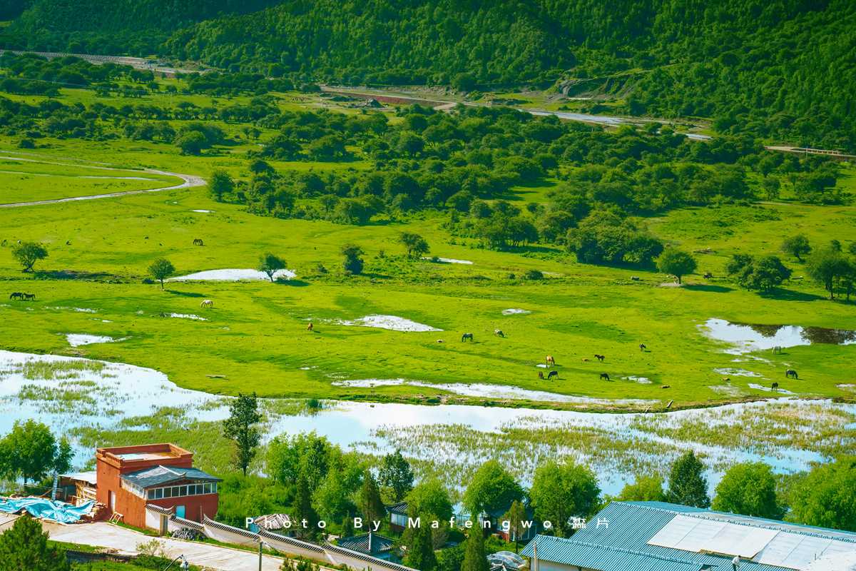
Napahai, called "Napaco" in Tibetan, means "lake beside the forest." It's not actually a sea, but a seasonal alpine lake, and one of Yunnan's rare subtropical mountain swamps and marsh meadows. In late summer and early autumn, during the rainy season, water levels are high, forming a large lake with small pastures along its shores. In the dry winter and spring, the lake shrinks or even dries up, becoming the vast marsh meadow of Yila Prairie. Napahai and Yila Prairie are actually one and the same—it's Napahai in the wet season and Yila Prairie in the dry season, somewhat like the winter worm, summer grass phenomenon (dongchong xiacao).
When searching for routes on the map, don't search for "Napahai"—that will direct you to the Napahai Horse Farm. People there will try to sell you a horseback ride, and while the price is negotiable, it only involves a short loop around a small patch of pasture. Instead, search for "Ring Lake Road" (Huanhu Lu). Following this road, you can see all the different aspects of Napahai—grasslands, lakes, cattle, and sheep. Driving the full loop around the lake takes about 30 minutes. Today was overcast, so we missed the reflections of blue sky and white clouds, but Napahai shrouded in mist had its own quiet beauty.
Epilogue: Shangri-La, Not Elsewhere
Where exactly is Shangri-La? Perhaps it was never a geographical coordinate, but a state of mind. When you see the first rays of morning light at the foot of a snow mountain, when you smell the fragrance of wildflowers on a meadow, when you hear the roar of a river in a gorge, when you feel time slow down in an ancient town—Shangri-La is right there.
Our journey continues. From the hidden realm of Niru to Lugu Lake, this road that doesn't appear on any navigation map is precisely the meaning of our search for Shangri-La. Sometimes, the most beautiful scenery isn't at the destination, but on the road that leads to it.
If you also long for this land, remember: the best times are April to June (when flowers are in full bloom) and September to October (when autumn colors cover the mountains). Avoid the rainy season to see the snow mountains in their purest form. But if, like me, you venture here during the July rains, also believe this—after the wind and rain, sunlight will always break through the clouds, illuminating the Shangri-La within your heart.
Key Tips: - Best travel times: April–June (flowers in bloom) and September–October (autumn colors) - Core route: Kunming → Dali → Lijiang → Tiger Leaping Gorge → Shangri-La → Niru → Lugu Lake - What to pack: Rain gear (July–September), warm layers (even in summer), sunscreen, good hiking shoes - Transport: Self-driving recommended; some roads are unpaved and require a high-clearance vehicle - Altitude awareness: Shangri-La is at ~3,300m; take it easy on the first day to acclimatize
You should also read:
Dreaming of Lijiang, Dreaming of Shangri-La: A Journey That Lets Your Soul Breathe Deeply
Dreaming of Lijiang, Dreaming of Shangri-La: A Journey That Lets Your Soul Breathe Deeply Life is like a long trek. We're always rushing through the concrete jungle, searching for a glimmer of light in the monotony of our days. Then one autumn, I heard the…
Continue reading...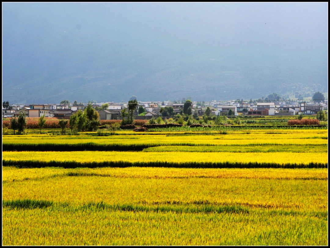
A 9-Day Yunnan Journey: From Lijiang to Dali to Tengchong – A Trip Toward Self-Reconciliation
A 9-Day Yunnan Journey: From Lijiang to Dali to Tengchong – A Trip Toward Self-Reconciliation Some say travel is simply going from a place you're tired of to a place other people are tired of. It stings to hear, but it's painfully true. Yet there's…
Continue reading...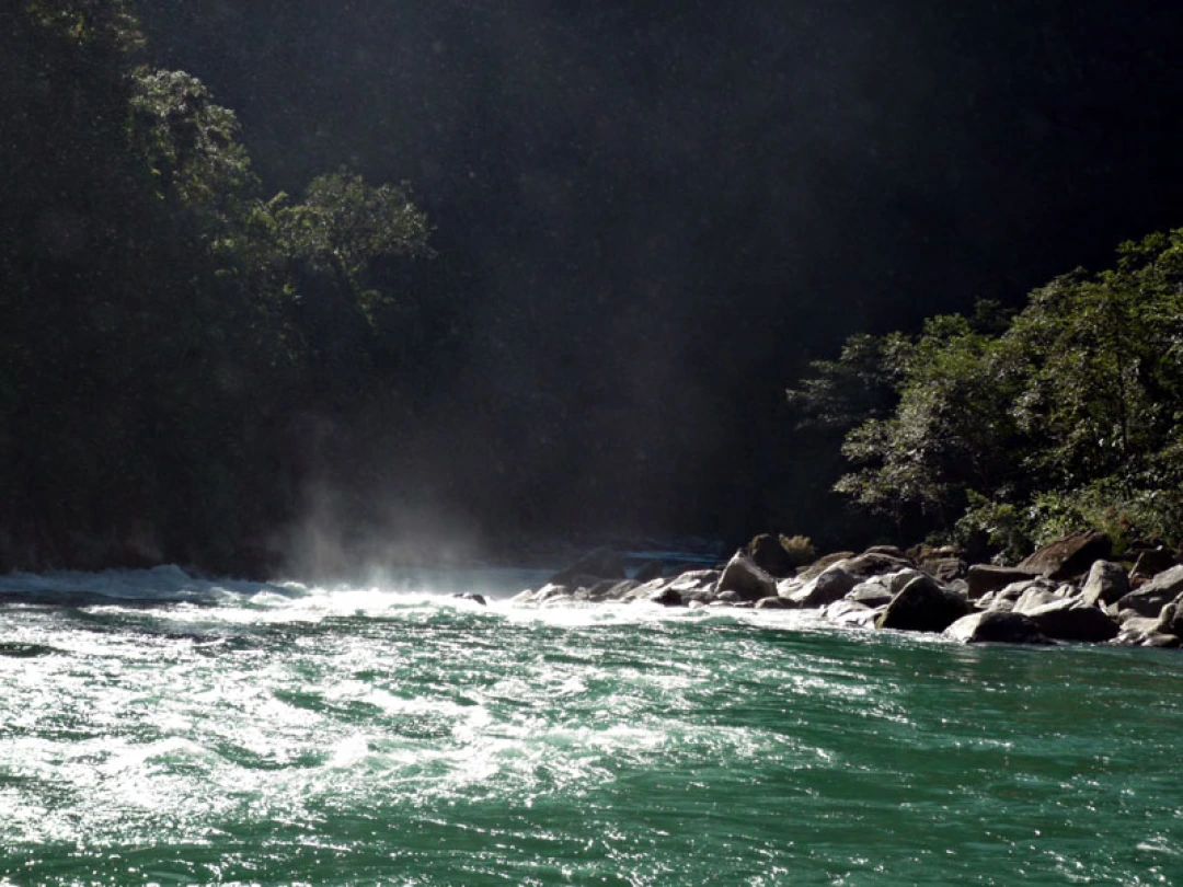
Into the Hidden Valley: A Solo Journey Through the Mysterious Dulong River
Into the Hidden Valley: A Solo Journey Through the Mysterious Dulong River Deep in the northwestern corner of Yunnan Province, tucked away from the modern world, lies a place that feels like a secret whispered among mountains. The Dulong River Valley is not just a…
Continue reading...